Mersch works well as a base: 5 minutes from Lintgen, 16km from Mullerthal.
Mersch is in Luxembourg, with about 3,500 people. You drive on the right here. The nearest town is Lintgen, about 4 km away.
Mersch (French pronunciation: [mɛʁʃ], German pronunciation: [mɛʁʃ]; Luxembourgish: Miersch [ˈmiːɐ̯ʃ] ) is a commune and town in central Luxembourg, situated in the canton of the same name. It is situated at the confluence of the rivers Alzette, Mamer and Eisch.
As of September 2026, the town of Mersch, which lies inRead more the centre of the commune, has a population of 5,258. Other towns within the commune include Beringen, Berschbach, Moesdorf, Pettingen, Reckange, Rollingen, and Schoenfels.
Mersch is the home of the National Literature Centre, Luxembourg's national literary archive. The town is the site of one of the six regional headquarters of the Grand Ducal Police.
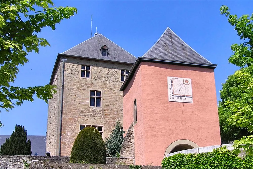
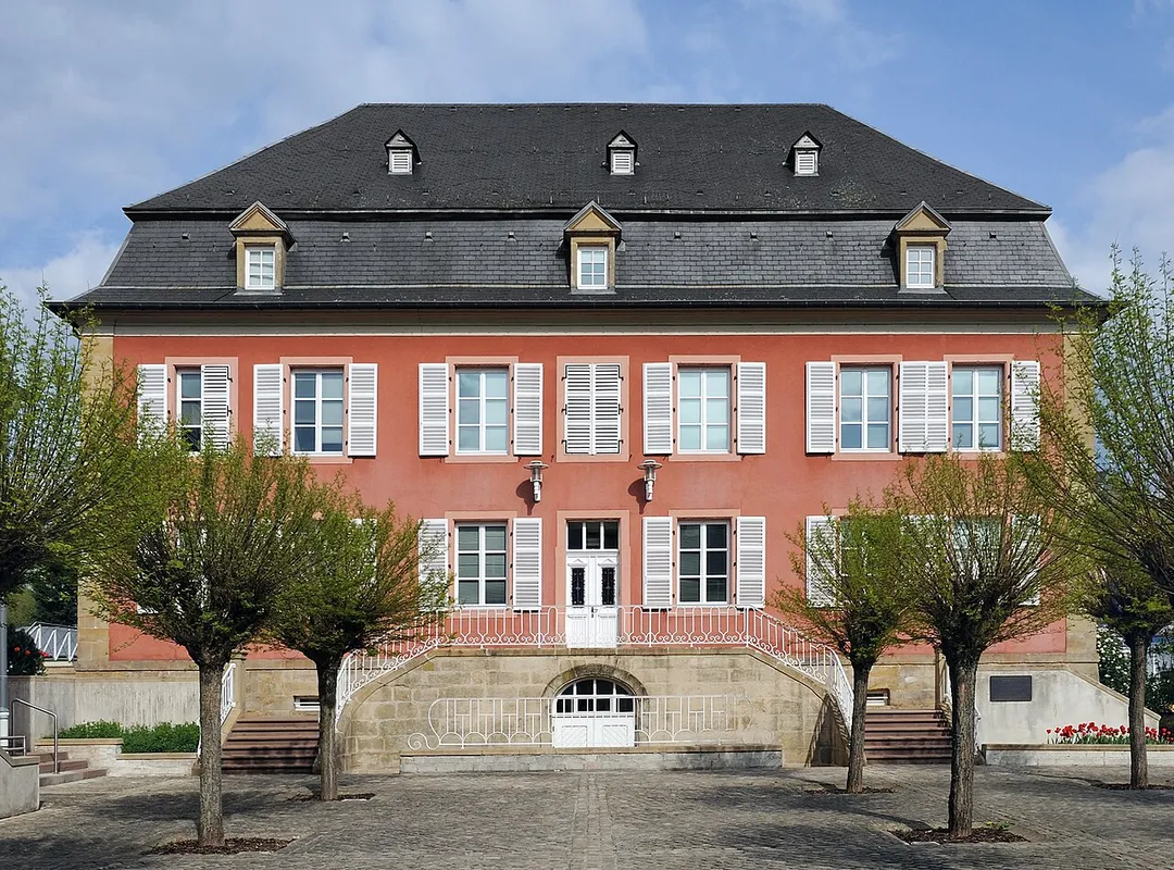
Mersch Castle is one of the castles belonging to the Valley of the Seven Castles. Located in the centre of the town, its history goes back to the 13th century. Today the castle houses the administrative offices of the local commune.
Some 3 kilometres (2 mi) north of Mersch, Pettingen Castle in the village of Pettingen is one of the best preserved fortified castles in the country.
Within an hour or so of Mersch: Larochette Castle (9 km), National Museum of Military History Diekirch (14 km), Schiessentümpel Waterfall (Schéissendëmpel) (14 km), Grand Duchess Charlotte Bridge (15 km).
Are there any good drives near Mersch?
The nearest famous roads are Route du Vin, Baraque de Fraiture and Moselle Valley Road (B53).
Where is Mersch?
Mersch is in Mersch, Luxembourg, about 4 km from Lintgen.
Road trip
Drive to Mersch
Add it as a stop and the planner works out the driving, the nights and what's worth seeing on the way.
Twin ruined castles of rival noble lines perched on a sandstone crag 150 m above the half-timbered town of Larochette, midway between Luxembourg City and the Mullerthal, with the restored Gothic 'Créhange House' to explore.
9 km · about 15 min drive
museum
National Museum of Military History Diekirch
Luxembourg's foremost Battle of the Bulge museum, packed with tanks, vehicles and life-size winter dioramas of the 1944-45 Ardennes fighting around Diekirch.
14 km · about 25 min drive
waterfall
Schiessentümpel Waterfall (Schéissendëmpel)
Three-cascade waterfall under a small stone bridge on the Black Ernz in the Mullerthal, a short walk from roadside parking.
14 km · about 25 min drive
bridge
Grand Duchess Charlotte Bridge
Luxembourg City's striking 'Red Bridge', a scarlet steel span soaring 74 m above the Alzette valley to link the old town with the Kirchberg European quarter.
15 km · about 30 min drive
landmark
Luxembourg City Old Town
A dramatic fortress capital perched on cliffs above gorges, its UNESCO ramparts and casemates carved into the rock.
16 km · about 30 min drive
landmark
Bock Casemates
A honeycomb of cannon tunnels bored through the Bock promontory, the cradle of Luxembourg City's clifftop fortress.
16 km · about 30 min drive
castle
Beaufort Castle
A romantic medieval ruin paired with a Renaissance château at the edge of the Mullerthal forest region.
16 km · about 30 min drive
natural wonder
Mullerthal
Sandstone rock landscape in eastern Luxembourg known as Little Switzerland, with narrow gorges, waterfalls and forest trailhead car parks.
16 km · about 20 min drive
Driving roads near Mersch
Right hereGrand Duchess Charlotte BridgeLuxembourg City's striking 'Red Bridge', a scarlet steel span soaring 74 m above the Alzette valley to link the old town with the Kirchberg European quarter.
16 kmChemin de la CornicheRampart walkway along Luxembourg City's old walls, described as Europe's most beautiful balcony, overlooking the Grund quarter.
25 kmLuxembourg Moselle ValleyTerraced Riesling vineyards line the gentle Moselle, a string of wine villages on a slow scenic river drive.
30 kmRoute du VinWine road running about 42 kilometres along the Moselle from Schengen to Wasserbillig, linking terraced vineyards and riverside villages.
42 kmSaarschleifeFrom the Cloef viewpoint and treetop walk, the Saar River carves a spectacular horseshoe through forested hills.
62 kmBaraque de FraitureBelgium's second-highest point at 652 m, a windswept Ardennes plateau crossroads on the N89 with a small ski station and sweeping high-fen scenery.