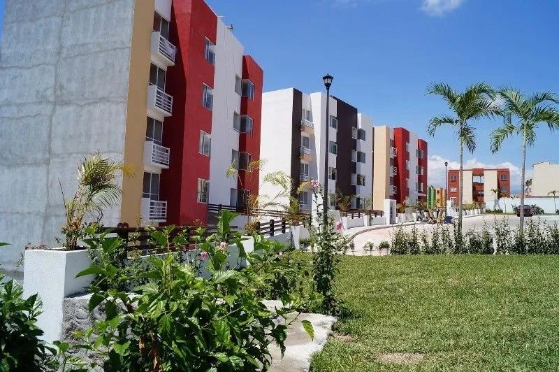
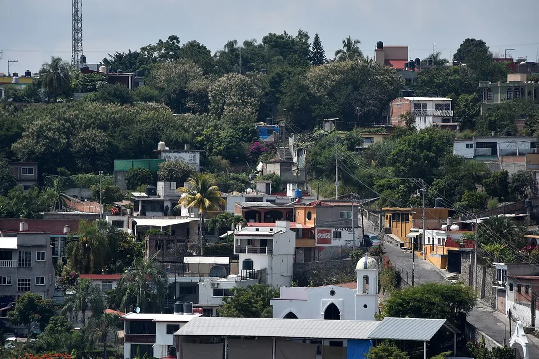
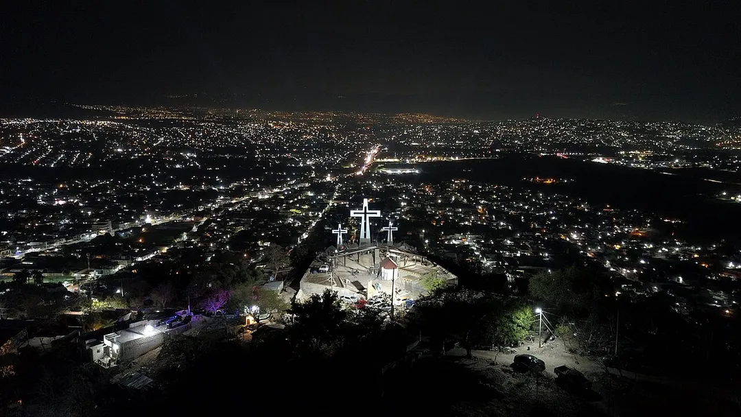
Temixco is worth a stop: 10 minutes from Emiliano Zapata, 30km from Malinalco.
Temixco is in Morelos, Mexico, with about 98,000 people. You drive on the right here. The nearest town is Emiliano Zapata, about 4 km away.
Temixco is the fourth-largest city in the Mexican state of Morelos. It is in the west-northwest part of the state, 6 kilometres (3.7 mi) from Cuernavaca and 85 kilometres (53 mi) from Mexico City.
The city serves as the municipal seat for the surrounding municipality, with which it shares a name. The municipalityRead more reported 116,143 inhabitants in 2010, a growth rate of 1.5% for each of the previous ten years. The municipality has an area of 87.869 km2 (33.926 sq mi).
A Morelos town under sheer volcanic cliffs, with a hilltop 13th-century pyramid to the pulque god reached by a steep hour's climb, a fortress-like Dominican convent, and a market known for exotic ice creams.
20 km · about 25 min drive
ancient ruins
Malinalco
Site of the Cuauhcalli, or House of Eagles: one of the very few temples in the Americas carved directly out of solid bedrock, reached by 400 steps up the Hill of the Idols above a quiet colonial town.
30 km · about 35 min drive
landmark
Xochimilco Floating Gardens
A network of ancient Aztec canals and artificial islands where colorful trajinera boats glide past floating gardens and mariachi bands.
47 km · about 55 min drive
landmark
Six Flags México
Mexico City's premier amusement park with world-class coasters and seasonal events in the south of the city.
49 km · about 55 min drive
landmark
Taxco
A hillside silver-mining town with winding cobblestone streets, baroque Santa Prisca church, and centuries of silversmithing tradition.
52 km · about 60 min drive
museum
Museo Frida Kahlo (Casa Azul)
The vibrant blue house where Frida Kahlo was born, lived, and died, filled with her art, personal objects, and Diego Rivera's collection.
56 km · about 65 min drive
Driving roads near Temixco
66 kmPaso de CortésThe 3,600-m saddle between the volcanoes Popocatépetl and Iztaccíhuatl, reached by a paved mountain road from Amecameca: the route Cortés marched into the Valley of Mexico in 1519.
When to drive here
Year-round
Tropical latitude: plan around the wet season rather than temperature.