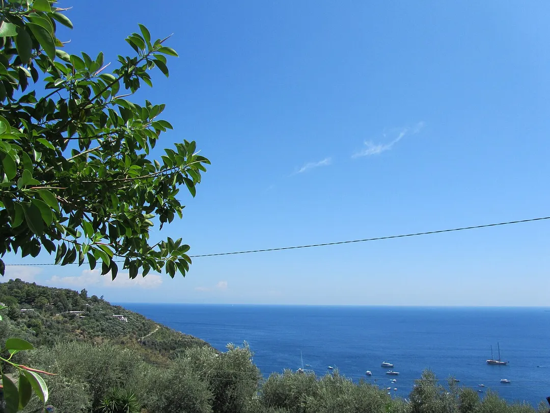
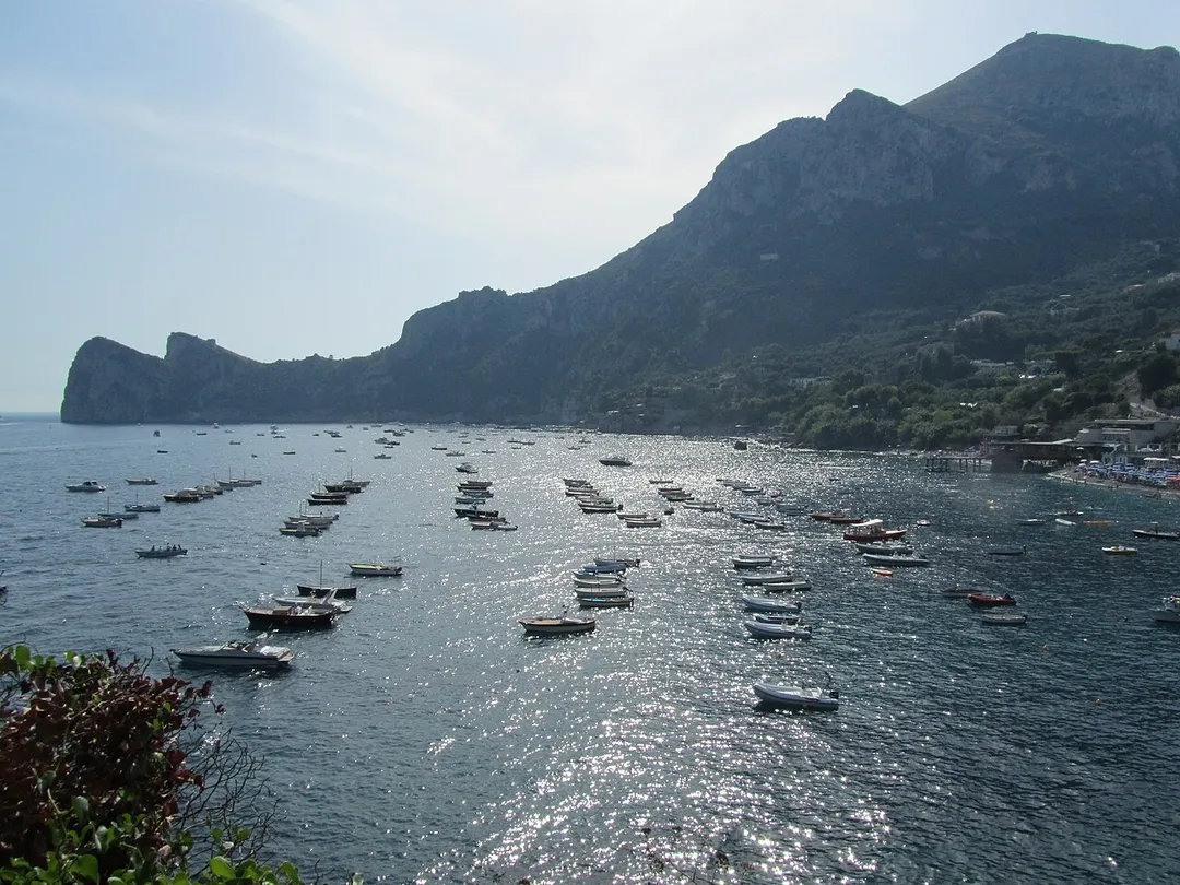
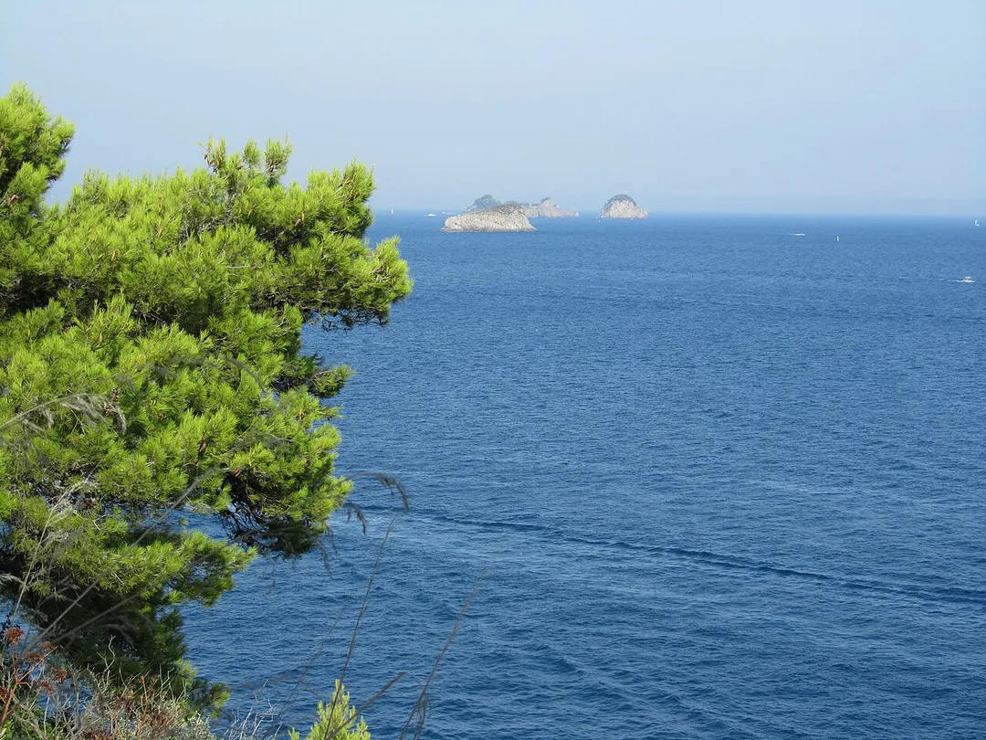
Massa Lubrense works well as a base: 10 minutes from Piano di Sorrento, 13km from Faraglioni of Capri.
Massa Lubrense is in Campania, Italy, with about 10,000 people. You drive on the right here. The nearest town is Piano di Sorrento, about 4 km away.
Massa Lubrense (Neapolitan: Massa) is a comune (municipality) in the Metropolitan City of Naples in the Italian region of Campania, located about 25 kilometres (16 mi) southeast of Naples. As of 31 December 2004, it had a population of 13,404 and an area of 19.7 km2 (7.6 sq mi).
Within an hour or so of Massa Lubrense: Nastro Azzurro (SS145) (7 km), Spiaggia Grande di Positano (10 km), Bar Internazionale Positano (10 km), Positano (10 km).
Are there any good drives near Massa Lubrense?
The nearest famous roads are Nastro Azzurro (SS145), Path of the Gods (Sentiero degli Dei) and Amalfi Coast Road (SS163).
Where is Massa Lubrense?
Massa Lubrense is in Campania, Italy, about 4 km from Piano di Sorrento.
Road trip
Drive to Massa Lubrense
Add it as a stop and the planner works out the driving, the nights and what's worth seeing on the way.
The 'Blue Ribbon' road winding along the Sorrento Peninsula ridge toward Positano, serving cliff-edge panoramas over both the Gulf of Naples and the Amalfi Coast before joining the SS163.
7 km · about 10 min drive
beach
Spiaggia Grande di Positano
A picturesque Amalfi Coast beach beneath the pastel-coloured cliffside village of Positano.
10 km · about 20 min drive
cafe
Bar Internazionale Positano
A clifftop bar on the Amalfi Coast road where travelers pause to take in one of the world's most spectacular coastal driving views with an espresso.
10 km · about 20 min drive
landmark
Positano
A picturesque cliffside village on the Amalfi Coast with pastel-colored houses cascading down to the sea.
10 km · about 20 min drive
scenic viewpoint
Positano Viewpoint
The classic pull-off on the Amalfi Coast road where the pastel cascade of Positano reveals itself against the deep blue Tyrrhenian Sea.
10 km · about 20 min drive
natural wonder
Faraglioni of Capri
Three iconic sea stacks rising from the azure waters off Capri's southeastern coast, symbols of the island.
13 km · about 25 min drive
famous road
Path of the Gods (Sentiero degli Dei)
A breathtaking cliffside hiking trail along the Amalfi Coast connecting Agerola to Positano high above the Mediterranean.
13 km · about 25 min drive
landmark
Blue Grotto
Enchanting sea cave on the island of Capri where sunlight creates an ethereal electric-blue glow in the water.
15 km · about 30 min drive
Driving roads near Massa Lubrense
Right hereNastro Azzurro (SS145)The 'Blue Ribbon' road winding along the Sorrento Peninsula ridge toward Positano, serving cliff-edge panoramas over both the Gulf of Naples and the Amalfi Coast before joining the SS163.
Right herePositano ViewpointThe classic pull-off on the Amalfi Coast road where the pastel cascade of Positano reveals itself against the deep blue Tyrrhenian Sea.
Right herePath of the Gods (Sentiero degli Dei)A breathtaking cliffside hiking trail along the Amalfi Coast connecting Agerola to Positano high above the Mediterranean.
20 kmAmalfi Coast Road (SS163)Stunning Italian coastal road carved into cliffs above the Mediterranean
20 kmAmalfi Coast Road (SS163 Nastro Azzurro)The cliff-hugging Blue Ribbon road between Sorrento and Salerno - breathtaking, narrow and often gridlocked in summer.
21 kmRavelloA hilltop town perched above the Amalfi Coast renowned for its stunning gardens and classical music festival.