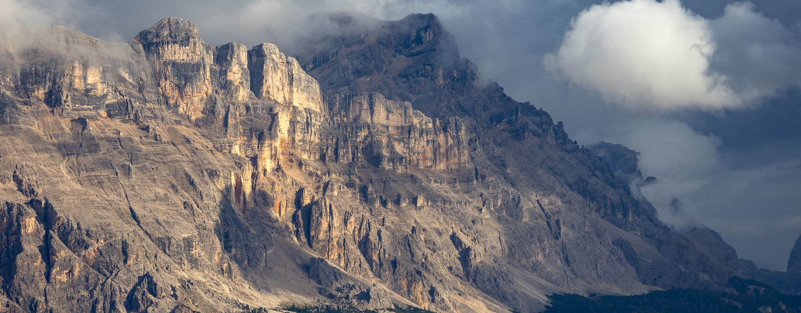
Malè works well as a base: 5 minutes from Cavizzana, 11km from Lago di Tovel.
Malè is in Trentino-Alto Adige, Italy, with about 1,900 people. You drive on the right here. The nearest town is Cavizzana, about 4 km away.
Malé (Italian pronunciation: [maˈle]) is a comune (municipality) in Trentino in the northern Italian region Trentino-Alto Adige/Südtirol, located about 35 kilometres (22 mi) northwest of the provincial capital Trento. As of 10 October 2023, it had a population of 2,239 and an area of 26.53 square kilometres (10.24Read more mi2).
The municipality of Malé contains the frazioni (subdivisions, mainly villages and hamlets) Magras, Arnago, Bolentina, Montes, Pondasio and Molini.
Malé borders the following municipalities: Rabbi, Terzolas, Croviana and Dimaro Folgarida.
The economy of Malé is based mainly on tourism, handcraft (typically wooden products), and farming (typically producing apples, cheese and cooked meats). The Trento-Malè-Marilleva railway connects the comune to Trento.
Near Malè is the Stelvio National Park, one of the biggest natural National Parks in Italy, and the Brenta group a UNESCO World Heritage Site.
From 15 to 22 June 2008 Malè was the venue of the mountain bike trials competitions of the UCI Mountain Bike & Trials World Championships "Val di Sole 2008". The sections were set up (for the first time in history) in the town squares.
Emerald lake cupped in the Brenta Dolomites, famous until 1964 for turning blood-red each summer from an algal bloom. A quiet paved road through Val di Tovel ends near the shore; a flat loop trail circles the water under 2,000-m walls.
11 km · about 20 min drive
mountain pass
Mendel Pass
A pass above Bolzano with a historic funicular alongside, looking out over the Adige valley vineyards.
24 km · about 25 min drive
mountain pass
Gampen Pass (Passo delle Palade)
The wooded pass linking Merano's valley to the Val di Non, a quiet and consistently graded climb.
25 km · about 30 min drive
mountain pass
Passo del Tonale
A wide, fast Alpine pass at 1883m connecting Lombardy to Trentino, with WWI history and views of the Presena glacier and Adamello mountain group.
27 km · about 30 min drive
mountain pass
Passo di Gavia
A narrow, exposed former military road climbing to 2621m with minimal barriers, renowned among cyclists from the Giro d'Italia and thrilling for adventurous drivers.
33 km · about 40 min drive
mountain pass
Stelvio Pass
Italy's highest paved pass with 48 hairpin turns - an engineering marvel
40 km · about 45 min drive
cafe
Stelvio Pass Summit Restaurant
The restaurant at the top of the legendary Stelvio Pass (2,757m), one of the highest paved roads in the Alps and a mecca for driving enthusiasts.
40 km · about 45 min drive
scenic viewpoint
Stelvio Trafoi Hairpins Viewpoint
The classic look back down the 48 numbered hairpins of the Stelvio's northern ramp above Trafoi — the view that appears on every poster of the pass.
40 km · about 45 min drive
Driving roads near Malè
16 named roads, passes and coastal drives within 60km.
24 kmMendel PassA pass above Bolzano with a historic funicular alongside, looking out over the Adige valley vineyards.
25 kmGampen Pass (Passo delle Palade)The wooded pass linking Merano's valley to the Val di Non, a quiet and consistently graded climb.
27 kmPasso del TonaleA wide, fast Alpine pass at 1883m connecting Lombardy to Trentino, with WWI history and views of the Presena glacier and Adamello mountain group.
33 kmPasso di GaviaA narrow, exposed former military road climbing to 2621m with minimal barriers, renowned among cyclists from the Giro d'Italia and thrilling for adventurous drivers.
40 kmStelvio PassItaly's highest paved pass with 48 hairpin turns - an engineering marvel
40 kmStelvio Trafoi Hairpins ViewpointThe classic look back down the 48 numbered hairpins of the Stelvio's northern ramp above Trafoi — the view that appears on every poster of the pass.