Buncrana works well as a base: 25 minutes from Muff, 12km from Mamore Gap.
Buncrana is in Ulster, Ireland, with about 6,800 people. You drive on the left here. The nearest town is Muff, about 14 km away.
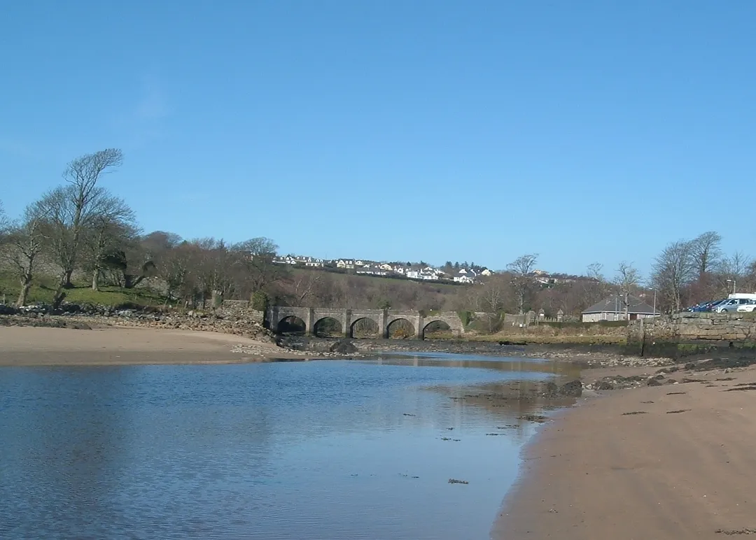
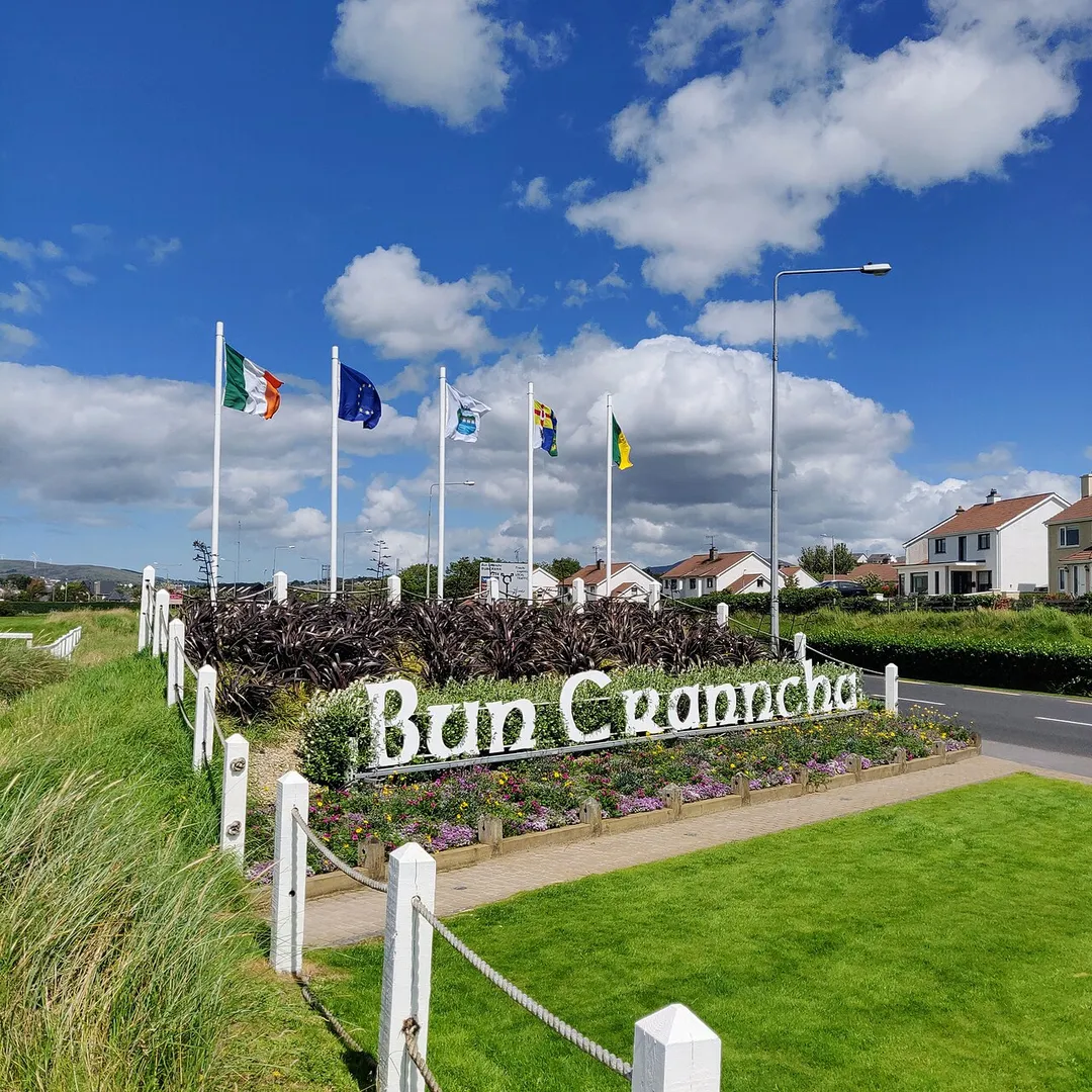
Buncrana ( bun-KRA-NA; Irish: Bun Cranncha, meaning 'foot of the (River) Crana') is a town in Inishowen in the north of County Donegal in Ulster, the northern province in Ireland. The town sits on the eastern shores of Lough Swilly, being 23 kilometres (14 mi) northwest of Derry and 43 kilometres (27 mi) north ofRead more Letterkenny. In the 2022 census, the population was 6,971, making it the second most populous town in County Donegal, after Letterkenny, and the largest in Inishowen.
Buncrana is the historic home of the Ó Dochartaigh (O'Doherty) clan and originally developed as a town around the defensive tower known as O'Doherty's Keep, at the mouth of the River Crana. The town was moved to its present location, just south of the River Crana, when George Vaughan had the current Main Street laid out in 1718.
The town was a major centre for the textile industry in County Donegal from the 19th century until the mid-2000s (decade).
Steep, narrow pass climbing to 260m through the Urris Hills of Inishowen, with a holy well and grotto at the summit and a plunging descent to the Atlantic at Urris. Part of the Inishowen 100 drive; low gears essential.
12 km · about 20 min drive
landmark
Derry City Walls
The only completely intact walled city in Ireland, a 1.5km 17th-century rampart circling historic Derry.
17 km · about 20 min drive
landmark
Fanad Head Lighthouse
One of the world's most photographed lighthouses, perched on a rugged Donegal headland between Atlantic and lough.
20 km · about 25 min drive
beach
Five Finger Strand
A wild Inishowen beach backed by some of Europe's highest dunes, named for the finger-like rocks offshore.
22 km · about 25 min drive
scenic viewpoint
Malin Head
The most northerly point of mainland Ireland, with wild Atlantic vistas and a Star Wars filming location.
28 km · about 30 min drive
film location
Malin Head (The Last Jedi)
Ireland's most northerly point stood in for Ahch-To's cliffs, where the Millennium Falcon was parked for filming.
28 km · about 30 min drive
scenic viewpoint
Binevenagh
A basalt escarpment above Limavady with a small lake on top, used as the Dothraki grasslands in Game of Thrones.
34 km · about 40 min drive
scenic viewpoint
Horn Head
A quartzite headland north of Dunfanaghy circled by a narrow loop road, with 180m sea cliffs and nesting seabirds.
36 km · about 40 min drive
Driving roads near Buncrana
7 named roads, passes and coastal drives within 100km.
Right hereMamore GapSteep, narrow pass climbing to 260m through the Urris Hills of Inishowen, with a holy well and grotto at the summit and a plunging descent to the Atlantic at Urris. Part of the Inishowen 100 drive; low gears essential.
28 kmMalin HeadThe most northerly point of mainland Ireland, with wild Atlantic vistas and a Star Wars filming location.
34 kmBinevenaghA basalt escarpment above Limavady with a small lake on top, used as the Dothraki grasslands in Game of Thrones.
36 kmHorn HeadA quartzite headland north of Dunfanaghy circled by a narrow loop road, with 180m sea cliffs and nesting seabirds.
36 kmGortmore Viewpoint (Manannán Mac Lir)A viewpoint on Binevenagh above the Bishop's Road with a sculpture of the sea god Manannán Mac Lir looking out to Donegal.
44 kmMount ErrigalDonegal's highest peak, a pale quartzite cone above the R251 in the Derryveagh Mountains, climbed in about three hours return.
Driving in Ireland
Drives on
the left
Petrol
~€1.78/litre
Motorway tolls
~€2.10/100km
When to drive here
May to September
Far northern latitude: short daylight hours outside summer make long drives harder.