
scenic viewpoint
Gileppe Dam
A 19th-century dam near Spa crowned by a 13-ton stone lion, with a 78 m panorama tower and forested Ardennes reservoir views a short detour off the Verviers road.
8 km · about 15 min drive
Wallonia, Belgium · Europe
Welkenraedt works well as a base: 10 minutes from Membach, 19km from Hautes Fagnes.
Welkenraedt is in Wallonia, Belgium, with about 9,000 people. You drive on the right here. The nearest town is Membach, about 5 km away.
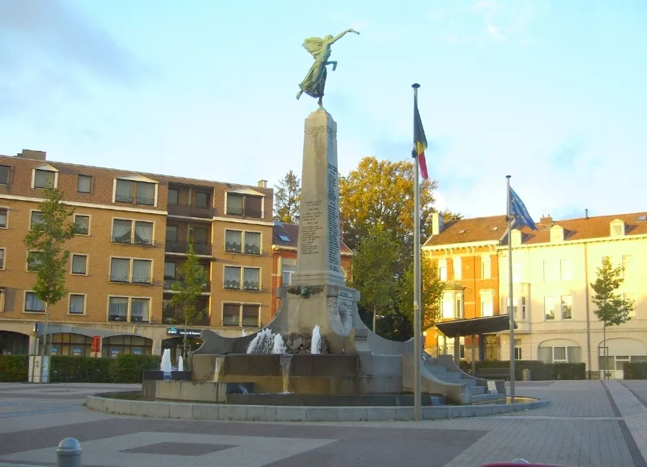
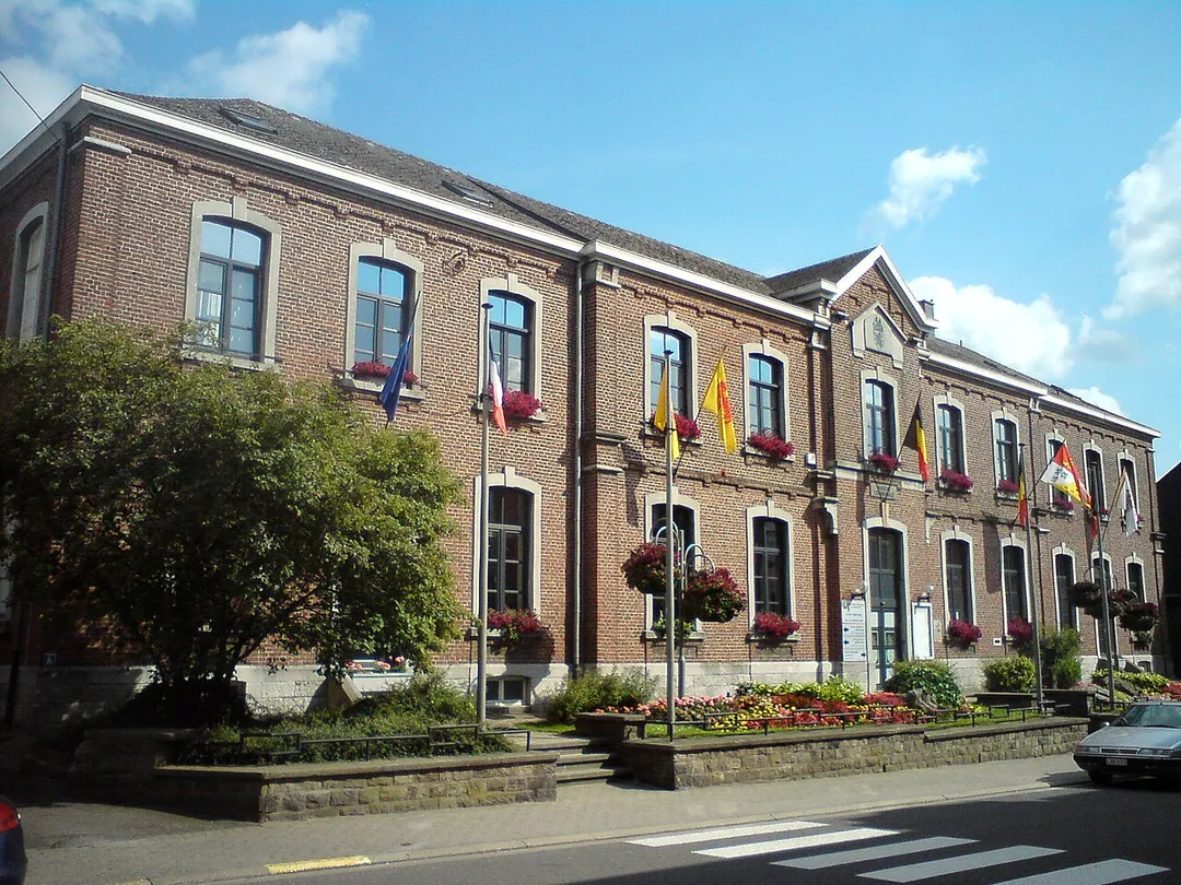
Welkenraedt (French pronunciation: [wɛlkənʁat]; Ripuarian: Wälekete; Walloon: Welkenrote) is a municipality of Wallonia located in the province of Liège, Belgium.
On January 1, 2018, Welkenraedt had a total population of 9,920. The total area is 24.47 km2 which gives a population density of 405 inhabitants perRead more
km2.
The municipality consists of the following districts: Henri-Chapelle and Welkenraedt.
Compare prices across Booking.com, Airbnb, Expedia, and more. Select your dates to see availability.
Pick your must-haves once: provider links open pre-filtered. Each filter lists which sites it applies to.
Compare before you book!
Prices can vary significantly between platforms. We recommend checking at least 2-3 sites to find the best deal for your stay in Welkenraedt.
Discover famous landmarks, scenic roads, and more near Welkenraedt.
Within an hour or so of Welkenraedt: Gileppe Dam (8 km), Vaalserberg Drielandenpunt (11 km), Aachen Cathedral (Aachener Dom) (15 km), Hautes Fagnes (19 km).
The nearest famous roads are Baraque de Fraiture, Moselle Valley Road (B53) and Mosel Valley Wine Route.
Welkenraedt is in Wallonia, Belgium, about 5 km from Membach.
Road trip
Add it as a stop and the planner works out the driving, the nights and what's worth seeing on the way.
Start planningSwipe through places to go
Places within a drive of Welkenraedt. Keep the ones you like and add them to your trip.
8 notable places within an hour's drive.
scenic viewpoint
A 19th-century dam near Spa crowned by a 13-ton stone lion, with a 78 m panorama tower and forested Ardennes reservoir views a short detour off the Verviers road.
8 km · about 15 min drive
scenic viewpoint
The Netherlands' highest mainland point at 322.4 metres, where the Dutch, Belgian and German borders meet near Vaals.
11 km · about 20 min drive
cathedral
The first UNESCO World Heritage Site in Germany, built by Charlemagne as his palatine chapel in the 9th century.
15 km · about 30 min drive
national park
Belgium's highest, wildest plateau of peat bog and boardwalk trails, often the snowiest corner of the country.
19 km · about 20 min drive
scenic viewpoint
At 694m this is the highest point in Belgium, marked by a stone tower on the Hautes Fagnes plateau.
20 km · about 25 min drive
landmark
Slate-and-timber Eifel town crammed into the narrow Rur gorge near the Belgian border, its lanes essentially unchanged for 300 years; a historic mustard mill still grinds and the castle ruin hosts open-air concerts.
22 km · about 25 min drive
racetrack
Home of the Belgian Grand Prix, featuring the legendary Eau Rouge corner
25 km · about 30 min drive
landmark
Hill-country Valkenburg hides Roman-era marl tunnels, a ruined castle and the Netherlands' only true hilltop drives.
25 km · about 30 min drive
5 named roads, passes and coastal drives within 150km.
April to October
Other places to explore near Welkenraedt.
Your trip starts here
Pick the days, drop in the stops, and share it with whoever's coming.