landmark
Padstow
A working fishing harbour on the Camel estuary, transformed into a food destination and the terminus of the Camel Trail.
8 km · about 15 min drive
England, United Kingdom · Europe
Wadebridge works well as a base: 10 minutes from Rock, 18km from Tintagel Castle.
Wadebridge is in England, United Kingdom, with about 6,600 people. You drive on the left here. The nearest town is Rock, about 6 km away.
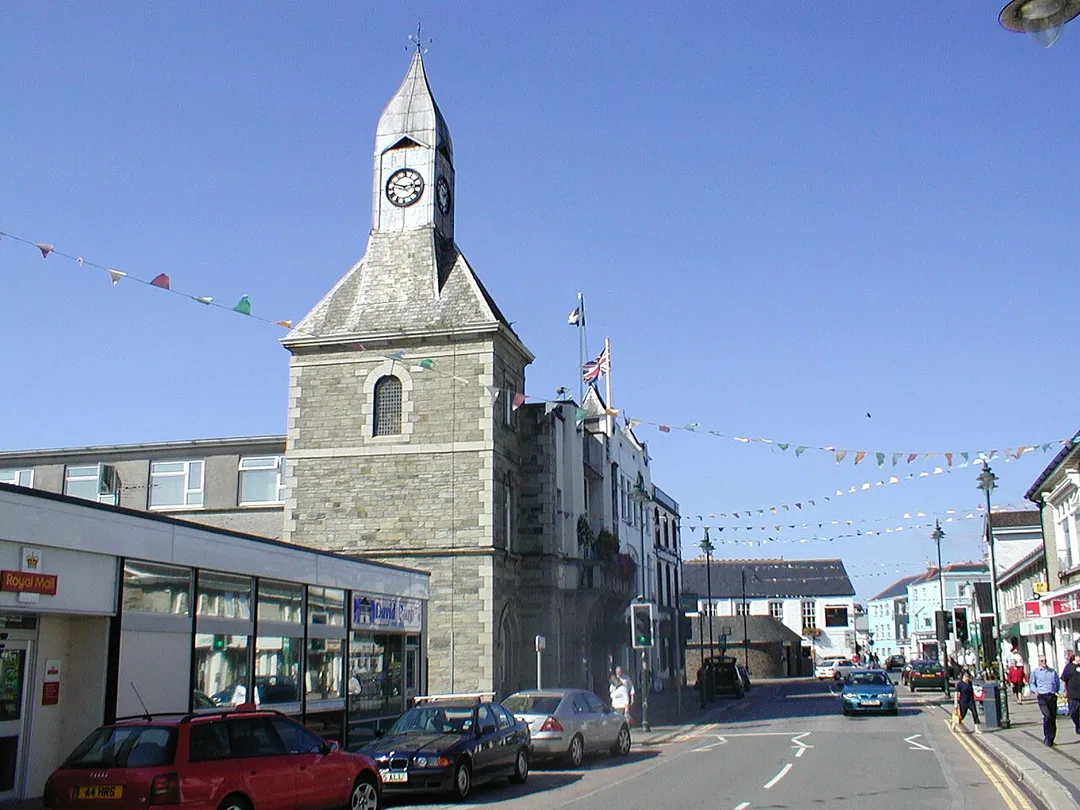
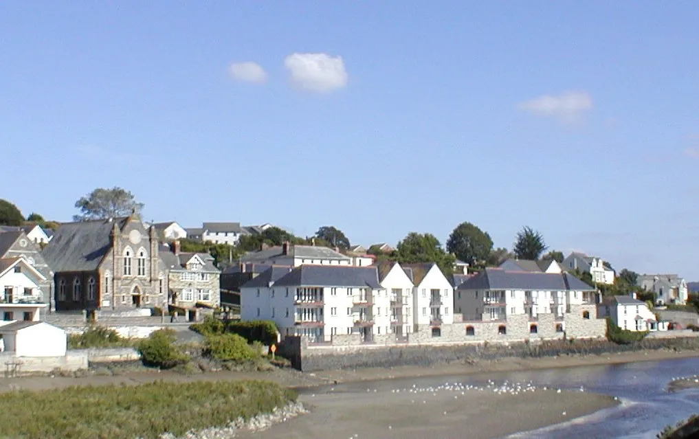
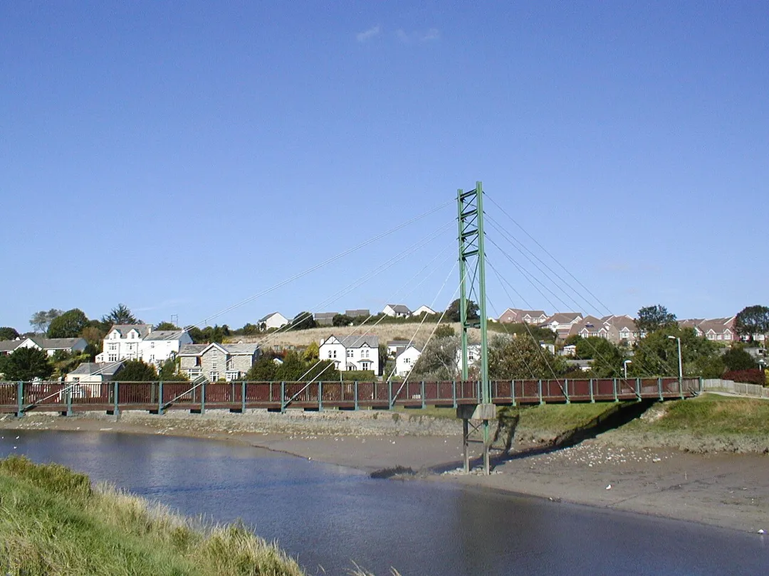
Wadebridge (; Cornish: Ponswad [ˈpɔnzwad] ) is a town and civil parish in north Cornwall, England, United Kingdom. The town straddles the River Camel five miles (eight kilometres) upstream from Padstow. At the 2021 census the population of the parish was 6,811 and the population of the built up area as defined by theRead more
Office for National Statistics (which excludes the Egloshayle part of the parish) was 5,625.
Originally known as Wade, it was a dangerous fording point across the river until a bridge was built here in the 15th century, after which the name changed to its present form. The bridge was strategically important during the English Civil War, and Oliver Cromwell went there to take it. Since then, it has been widened twice and refurbished in 1991.
Wadebridge was served by a railway station between 1834 and 1967; part of the line now forms the Camel Trail, a recreational route for walkers, cyclists and horse riders. The town used to be a road traffic bottleneck on the A39 road until it was bypassed in 1991, and the main shopping street, Molesworth Street, is now pedestrianised.
The town has a secondary school where several notable sports-people were educated. The Royal Cornwall Show is a three-day agricultural show held at the nearby Royal Cornwall Showground every June, and the 5-day Cornwall Folk Festival takes place around the August Bank Holiday.
Compare prices across Booking.com, Airbnb, Expedia, and more. Select your dates to see availability.
Pick your must-haves once: provider links open pre-filtered. Each filter lists which sites it applies to.
Compare before you book!
Prices can vary significantly between platforms. We recommend checking at least 2-3 sites to find the best deal for your stay in Wadebridge.
Discover famous landmarks, scenic roads, and more near Wadebridge.
Within an hour or so of Wadebridge: Padstow (8 km), The Rumps (11 km), Bedruthan Steps (14 km), Park Head (14 km).
The nearest famous roads are Atlantic Highway (A39), A39 Atlantic Highway (Barnstaple to Bude) and B3306 St Ives to Land's End.
Wadebridge is in England, United Kingdom, about 6 km from Rock.
Road trip
Add it as a stop and the planner works out the driving, the nights and what's worth seeing on the way.
Start planningSwipe through places to go
Places within a drive of Wadebridge. Keep the ones you like and add them to your trip.
Essential numbers in United Kingdom
112 also works. NHS non-emergency medical advice: 111. National Highways breakdown assistance on motorways: 0300 123 5000.
Full driving guide for United Kingdom8 notable places within an hour's drive.
landmark
A working fishing harbour on the Camel estuary, transformed into a food destination and the terminus of the Camel Trail.
8 km · about 15 min drive
scenic viewpoint
A twin-headed promontory near Polzeath ringed by Iron Age ramparts, with a fine short walk from Pentire Point.
11 km · about 20 min drive
scenic viewpoint
Giant rock stacks marching across a wild sandy beach below towering cliffs on the rugged north Cornwall coast.
14 km · about 25 min drive
scenic viewpoint
A National Trust headland just north of Bedruthan Steps with wide views over the stacks and the Atlantic.
14 km · about 25 min drive
castle
Dramatic clifftop ruins steeped in Arthurian legend, connected to the mainland by a striking modern footbridge above the Atlantic.
18 km · about 20 min drive
waterfall
A mystical 60-foot waterfall that bores through a holed rock in a fern-draped wooded glen near Tintagel.
18 km · about 20 min drive
scenic viewpoint
The highest point in Cornwall at 420 m, a long granite-topped ridge in the middle of Bodmin Moor.
18 km · about 20 min drive
landmark
Spectacular complex of enormous biome domes nestled in a former clay pit, housing the world's largest indoor rainforest.
19 km · about 20 min drive
April to October
Other places to explore near Wadebridge.
Your trip starts here
Pick the days, drop in the stops, and share it with whoever's coming.