
mountain pass
Macquarie Pass
A twisting rainforest climb on the Illawarra Highway, hauling drivers 400 m up the escarpment between Albion Park and the Southern Highlands through 100-plus curves.
21 km · about 25 min drive
New South Wales, Australia · Oceania
Unanderra works well as a base: 21km from Macquarie Pass.
Unanderra is in New South Wales, Australia, with about 5,400 people. You drive on the left here.
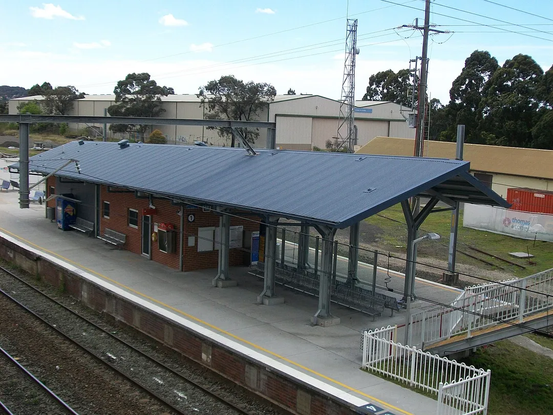
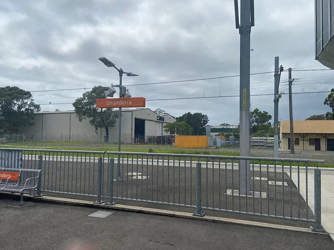
Unanderra ( YOU-nən-derr-ə) is a suburb of Wollongong in New South Wales, Australia. It is located approximately 6 km south-west of the Wollongong CBD. It is bordered to the west by Farmborough, Cordeaux Heights and Farmborough Heights in the Mount Kembla foothills, the north by Figtree, the east by Berkeley andRead more
Flagstaff Hill, site of the Nan Tien Temple, and the south by Kembla Grange.
Unanderra is both a residential suburb, mostly to the west of the Princes Highway and industrial, to the east. Along the highway is a strip of shops, including Woolworths and several speciality stores.
Two distinctive buildings in Unanderra are the Catholic Church and the Syriac Orthodox Church. The Immaculate Conception Catholic Church was opened in 1954 and subsequently extended in 1997 and is located at 48 Princes Highway, Unanderra. Saint Thomas Syriac Orthodox Church in Central Road, Unanderra, was opened in 2007.
Unanderra has several local attractions including an old school building, several historic houses and a community centre. The community centre is housed in the former Central Illawarra Municipal Council Chambers, opened in 1901. This operated until the merging of the North Illawarra and Central Illawarra chambers to create the City of Greater Wollongong in 1947. The Unanderra Branch Library opened in 1955 within the centre and was enlarged in 1960.
The suburb lies on the Illawarra coastal plain, with its west border in the lower foothills of Mount Kembla. From the highway it is possible to see Mount Kembla and it has a distinctly different shape compared to other views of it.
Compare prices across Booking.com, Airbnb, Expedia, and more. Select your dates to see availability.
Pick your must-haves once: provider links open pre-filtered. Each filter lists which sites it applies to.
Compare before you book!
Prices can vary significantly between platforms. We recommend checking at least 2-3 sites to find the best deal for your stay in Unanderra.
Discover famous landmarks, scenic roads, and more near Unanderra.
Within an hour or so of Unanderra: Macquarie Pass (21 km), Sea Cliff Bridge (25 km), Robertson Pie Shop (25 km), Grand Pacific Drive (28 km).
The nearest famous roads are Macquarie Pass and Grand Pacific Drive.
Unanderra is in New South Wales, Australia.
Road trip
Add it as a stop and the planner works out the driving, the nights and what's worth seeing on the way.
Start planningSwipe through places to go
Places within a drive of Unanderra. Keep the ones you like and add them to your trip.
Essential numbers in Australia
112 works from mobiles. Distances between fuel stops in the outback can exceed 200 km: plan ahead. Wildlife is most active at dawn/dusk.
Full driving guide for Australia6 notable places within an hour's drive.
mountain pass
A twisting rainforest climb on the Illawarra Highway, hauling drivers 400 m up the escarpment between Albion Park and the Southern Highlands through 100-plus curves.
21 km · about 25 min drive
bridge
A 665 m balanced-cantilever bridge that curves off the Illawarra escarpment and hangs over the Pacific, the photogenic centrepiece of Grand Pacific Drive south of Sydney.
25 km · about 30 min drive
cafe
A Southern Highlands roadside pie shop on the Illawarra Highway, operating since 1968 and long the mandatory stop for anyone driving between Sydney and the coast via Macquarie Pass.
25 km · about 30 min drive
coastal drive
140 km coastal route from the Royal National Park to Wollongong and beyond, sweeping past Bald Hill's hang-glider lookout, seaside villages and the famous Sea Cliff Bridge.
28 km · about 35 min drive
scenic viewpoint
Clifftop lookout and hang-gliding launch at Stanwell Tops overlooking the Sea Cliff Bridge and Illawarra coastline, with roadside parking.
28 km · about 35 min drive
bridge
Sandstone-towered suspension bridge from 1898 carrying Moss Vale Road over the Kangaroo River, the oldest of its type still in use in Australia.
43 km · about 50 min drive
Other places to explore near Unanderra.
Your trip starts here
Pick the days, drop in the stops, and share it with whoever's coming.