historic highway
N2: Portugal's Route 66
Portugal's longest road runs 738 kilometers from Chaves to Faro through the country's rural heartland and Alentejo plains.
23 km · about 25 min drive
Leiria, Portugal · Europe
Pedrógão Grande is worth a stop: 20 minutes from Figueiró dos Vinhos, 55km from Castelo de Almourol.
Pedrógão Grande is in Leiria, Portugal, with about 3,900 people. You drive on the right here. The nearest town is Figueiró dos Vinhos, about 11 km away.
Pedrógão Grande (Portuguese pronunciation: [pɨˈðɾɔɣɐ̃w ˈɡɾɐ̃dɨ] ; Proto-Celtic: *Pendraganum) is a portuguese municipality in the historical Beira Litoral province, in Central Region and district of Leiria. The population in 2011 was 3,915 in an area of 128.75 km2 (49.71 sq mi).
The town itself has fewer than 2,000Read more
inhabitants, with the remaining population living in several small villages surrounded by forests. The town center contains historical provincial gentry housing. The earliest town charter dates to 1206, when rights to hold a market were conceded by Afonso Pedro, natural son of Afonso II of Portugal; however, the current municipality was established only in 1898. The present mayor is Valdemar Gomes Fernandes Alves, an independent elected in 2013 by the Social Democratic Party. The municipal holiday is July 24.
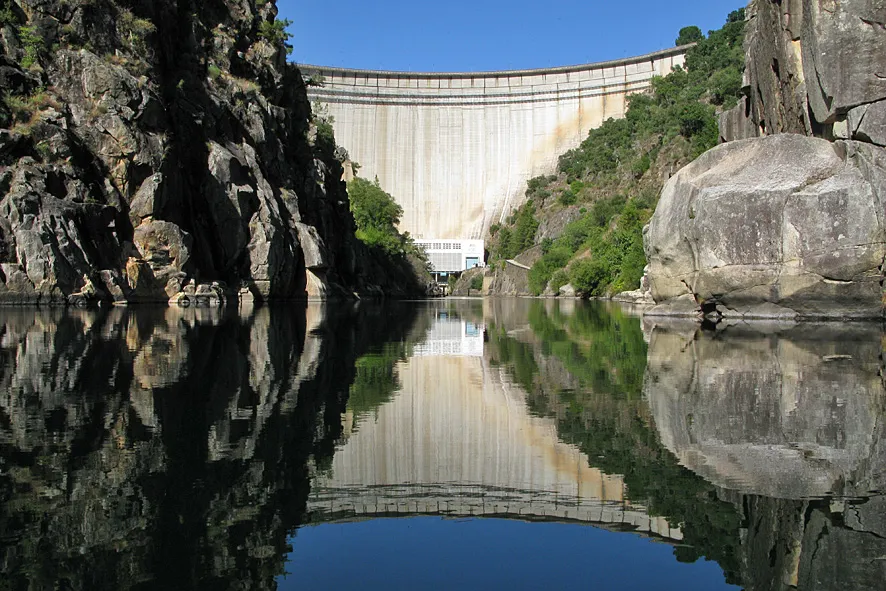
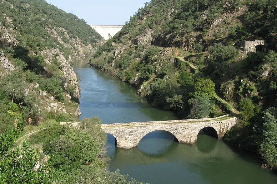
The municipality is located in a large region of granite and shale in the basin of the Zêzere and Unhais rivers and the streams of Pêra and Mega, currently enlarged by the reservoirs of two large dams: Cabril and Bouçã. It has a typical Mediterranean climate: winters are cold, the summers dry and torrid. The reservoirs have affected the local climate, making it more gentle. These waters are rich in fisheries including black bass, barbo, and boga.
The municipality and surrounding region has suffered in the 2017 Portugal wildfires, leaving 64 dead, over 250 injured and forty evacuated villages.
Storm Kristin caused a catastrophic impact in the municipality in January 2026.
Compare prices across Booking.com, Airbnb, Expedia, and more. Select your dates to see availability.
Pick your must-haves once: provider links open pre-filtered. Each filter lists which sites it applies to.
Compare before you book!
Prices can vary significantly between platforms. We recommend checking at least 2-3 sites to find the best deal for your stay in Pedrógão Grande.
Discover famous landmarks, scenic roads, and more near Pedrógão Grande.
Within an hour or so of Pedrógão Grande: N2: Portugal's Route 66 (23 km), University of Coimbra (40 km), Sé Velha de Coimbra (40 km), Convent of Christ, Tomar (42 km).
The nearest famous roads are N2: Portugal's Route 66, N339 Serra da Estrela and Torre Summit Road (N339), Serra da Estrela.
Pedrógão Grande is in Leiria, Portugal, about 11 km from Figueiró dos Vinhos.
Road trip
Add it as a stop and the planner works out the driving, the nights and what's worth seeing on the way.
Start planningSwipe through places to go
Places within a drive of Pedrógão Grande. Keep the ones you like and add them to your trip.
8 notable places within an hour's drive.
historic highway
Portugal's longest road runs 738 kilometers from Chaves to Faro through the country's rural heartland and Alentejo plains.
23 km · about 25 min drive
landmark
One of the oldest universities in continuous operation in the world, with a stunning Baroque library and UNESCO World Heritage status.
40 km · about 45 min drive
cathedral
A fortress-like 12th-century Romanesque cathedral in the old upper town of Coimbra, near the historic university.
40 km · about 45 min drive
landmark
A UNESCO-listed former Knights Templar headquarters with a remarkable blend of Romanesque, Gothic, Manueline, and Renaissance architecture.
42 km · about 50 min drive
landmark
A UNESCO-listed Templar monastery with a Manueline round church and the celebrated carved Chapter House window.
42 km · about 50 min drive
landmark
A schist village built in terraces on a steep Serra do Açor hillside, reached by a winding mountain road.
44 km · about 50 min drive
castle
A Templar castle on a rocky island in the Tagus river, reached by short ferry from a riverside car park.
55 km · about 65 min drive
cathedral
One of Catholicism's great modern pilgrimage sites, built where three shepherd children reported Marian apparitions in 1917: a vast esplanade twice the size of St Peter's Square links the 1953 basilica and the 9,000-seat Holy Trinity church.
55 km · about 65 min drive
April to October
Other places to explore near Pedrógão Grande.
Your trip starts here
Pick the days, drop in the stops, and share it with whoever's coming.