PYRTPlan Your Road Trips
Create TripCommunityMerchandise
PYRTPlan Your Road Trips
Create TripCommunityMerchandise
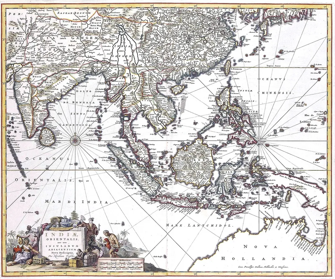
Indiae Orientalis, 17th century map by by Nicolaes Visscher II
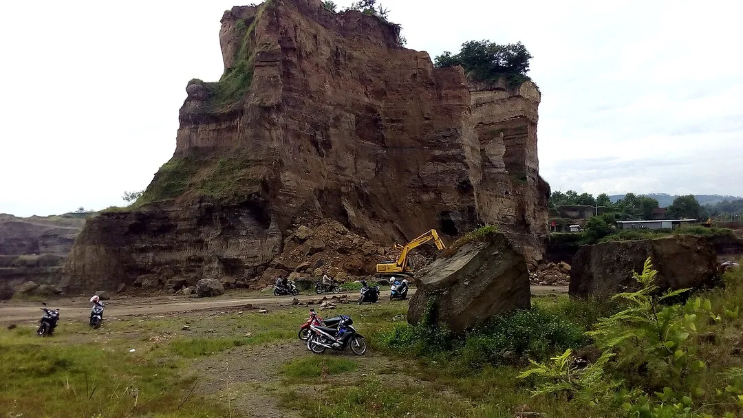
Brown Canyon, Mranggen Demak
Mranggen - Sheet 48-40A, 1:50,000 1942 (5.9MB) - Java & Madura, Series T722, 1:50,000, U.S. Army Map Service, 1942-
Photo by Nicolaes Visscher II
Destinations
Home›Destinations›Mranggen
AsiaIndonesiaCentral Java

Mranggen

Central Java, Indonesia · Asia

About Mranggen

Mranggen sits on the route: 20 minutes from Semarang, 58km from Mount Merapi.

Mranggen is in Central Java, Indonesia, with about 28,000 people. You drive on the left here. The nearest town is Semarang, about 11 km away.

Where to Stay in Mranggen

Compare prices across Booking.com, Airbnb, Expedia, and more. Select your dates to see availability.

Filter presets

Pick your must-haves once: provider links open pre-filtered. Each filter lists which sites it applies to.

Booking.comExpediaTripAdvisorHotels.comAgodaAirbnb

Compare before you book!

Prices can vary significantly between platforms. We recommend checking at least 2-3 sites to find the best deal for your stay in Mranggen.

Explore the Area

Discover famous landmarks, scenic roads, and more near Mranggen.

Loading map...
Open in Google Maps

Frequently Asked Questions

What is there to see near Mranggen?

Within an hour or so of Mranggen: Mount Merapi (58 km).

Where is Mranggen?

Mranggen is in Central Java, Indonesia, about 11 km from Semarang.

Road trip

Drive to Mranggen

Add it as a stop and the planner works out the driving, the nights and what's worth seeing on the way.

Start planning

What's nearby?

Swipe through places to go

Places within a drive of Mranggen. Keep the ones you like and add them to your trip.

Explore now

Quick Information

Population
28,026
Continent
Asia
Country
Indonesia
Region
Central Java
Timezone
Asia/Jakarta
Coordinates
-7.0268, 110.5158

Emergency & Services

Essential numbers in Indonesia

Police
110
Ambulance
118
Fire
113
All emergencies
112
Driving side
left
Full driving guide for Indonesia

Tags

AsiaIndonesiaCentral JavaTown

Worth the detour from Mranggen

1 notable place within an hour's drive.

natural wonder

Mount Merapi

Indonesia's most active volcano north of Yogyakarta, with jeep tours and viewpoints on the Kaliurang approach road.

58 km · about 65 min drive

Driving roads near Mranggen

  • 69 kmDieng PlateauA misty volcanic plateau in Central Java with ancient Hindu temples, colored lakes, and dramatic sunrise views above the clouds.

When to drive here

Year-round

Tropical latitude: plan around the wet season rather than temperature.

Nearby Destinations

Other places to explore near Mranggen.

Semarang

🇮🇩 Indonesia

11 km awayPop. 1,653,524

Ungaran

🇮🇩 Indonesia

18 km awayPop. 171,378

Demak

🇮🇩 Indonesia

20 km awayPop. 27,251

Ambarawa

🇮🇩 Indonesia

29 km awayPop. 63,193

Salatiga

🇮🇩 Indonesia

34 km awayPop. 201,369

Kudus

🇮🇩 Indonesia

44 km awayPop. 92,156

Baekrajan

🇮🇩 Indonesia

47 km awayPop. 57,920

Gebog

🇮🇩 Indonesia

49 km awayPop. 43,756

Plan a trip around Mranggen

Asia road trip planner

Your trip starts here

Plan a road trip from Mranggen.

Pick the days, drop in the stops, and share it with whoever's coming.

Start planning
PYRT

The ultimate road trip planning platform. Discover 150,000+ destinations worldwide, plan scenic routes, and create unforgettable adventures.

Inspiration

  • Discover Trips
  • Travel Guides
  • Community

The Product

  • Calendar Planner
  • Integrations
  • How It Works
  • Collaboration Mode
  • Get the App
  • Merchandise: PYRT Supply Co.
  • Become a Creator
  • Trip Marketplace

Plan Your Trip

  • Road Trip Planner
  • Famous Routes
  • Drive Times & Distances
  • Planners by Country
  • Best Road Trip Planner App
  • Discover Road Trips
  • Events
  • Travel Guides
  • How It Works
  • My Trips
  • Community Groups

Company

  • Terms of Service
  • Privacy Policy
  • About PYRT
  • Support
  • Contact Us
  • Sign In
  • Create Account

© 2026 Plan Your Road Trips. All rights reserved.

•[email protected]
Data sources:GeoNames (CC BY 4.0)•Wikimedia Commons (CC BY-SA)•Mapbox•Photography: George Lawrence