photogenic
Tunnel Beach
A hand-cut sandstone tunnel commissioned in the 1870s descends through the cliff to a hidden cove with a sea arch and stacks, south of Dunedin. A steep 20-minute walk down.
10 km · about 20 min drive
Otago, New Zealand · Oceania
Mosgiel works well as a base: 10 minutes from Fairfield, 15km from Baldwin Street.
Mosgiel is in Otago, New Zealand, with about 15,000 people. You drive on the left here. The nearest town is Fairfield, about 5 km away.
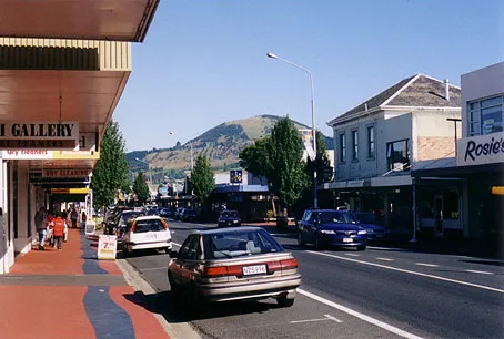
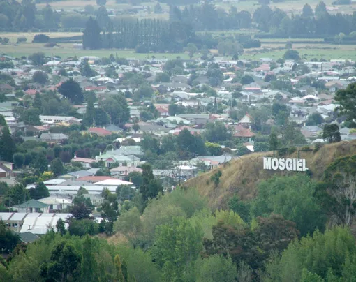
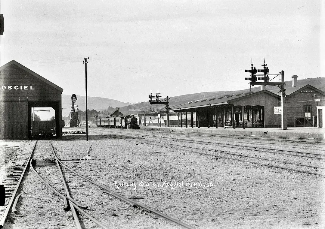
Mosgiel () is a town on the Taieri Plain in Otago, New Zealand, 17 km (11 mi) west of Dunedin. Since the re-organisation of New Zealand local government in 1989 it has been administered by the Dunedin City Council. Mosgiel has a population of approximately 15,100 as of June 2025. A nickname for Mosgiel is "The pearlRead more
of the plain". Its low-lying nature does pose problems, making it prone to flooding after heavy rains. Mosgiel takes its name from Mossgiel Farm, Ayrshire, the farm of the poet Robert Burns, the uncle of the co-founder in 1848 of the Otago settlement, the Reverend Thomas Burns.
Mosgiel stands at the north-eastern extremity of the Taieri Plain. The Silver Stream, a tributary of the Taieri River, runs through its north end. Between Mosgiel and the centre of Dunedin stand the rugged Three Mile Hill and Scroggs Hill, which form part of the crater-wall of a long-extinct volcano, the crater being the Otago Harbour. To the south of the town lies one of the many peaks that formed part of the volcano: Saddle Hill, a prominent landmark, visible from a considerable distance and notable for its distinctive shape, lies south of State Highway One where Kinmont Park, a new housing subdivision is located at the foot of the hill.
The Dunedin Southern Motorway, upgraded in 2003, links Mosgiel with the centre of Dunedin. State Highway 87 to Kyeburn starts at a junction with State Highway 1 at the southeastern edge of Mosgiel, the first part of the highway being the main street of Mosgiel, Gordon Road.
Compare prices across Booking.com, Airbnb, Expedia, and more. Select your dates to see availability.
Pick your must-haves once: provider links open pre-filtered. Each filter lists which sites it applies to.
Compare before you book!
Prices can vary significantly between platforms. We recommend checking at least 2-3 sites to find the best deal for your stay in Mosgiel.
Discover famous landmarks, scenic roads, and more near Mosgiel.
Within an hour or so of Mosgiel: Tunnel Beach (10 km), Baldwin Street (15 km), Larnach Castle (22 km), Sandfly Bay (24 km).
The nearest famous roads are Baldwin Street, Crown Range Road and Crown Range Summit.
Mosgiel is in Otago, New Zealand, about 5 km from Fairfield.
Road trip
Add it as a stop and the planner works out the driving, the nights and what's worth seeing on the way.
Start planningSwipe through places to go
Places within a drive of Mosgiel. Keep the ones you like and add them to your trip.
Essential numbers in New Zealand
Many rural bridges are single-lane. Give way as signed.
Full driving guide for New Zealand4 notable places within an hour's drive.
photogenic
A hand-cut sandstone tunnel commissioned in the 1870s descends through the cliff to a hidden cove with a sea arch and stacks, south of Dunedin. A steep 20-minute walk down.
10 km · about 20 min drive
famous road
Dunedin's famously vertiginous suburban street, long certified by Guinness as the world's steepest at a 35% gradient: a quirky bucket-list detour for any South Island road trip.
15 km · about 30 min drive
castle
1871 Gothic Revival mansion on the Otago Peninsula, New Zealand's only castle, with gardens and views over Otago Harbour.
22 km · about 25 min drive
beach
A steep dune descent on the Otago Peninsula leads to a beach where New Zealand sea lions haul out and yellow-eyed penguins come ashore at dusk, watched from a DOC hide.
24 km · about 25 min drive
3 named roads, passes and coastal drives within 150km.
Other places to explore near Mosgiel.
Your trip starts here
Pick the days, drop in the stops, and share it with whoever's coming.