scenic viewpoint
Pico Duarte
The highest peak in the Caribbean at 3,098 meters, a multi-day hike through pine forest in the Cordillera Central of the Dominican Republic.
54 km · about 60 min drive
La Vega, Dominican Republic · North America
La Vega sits on the route: 20 minutes from Río Verde Arriba, 54km from Pico Duarte.
La Vega is in Dominican Republic, with about 100,000 people. The nearest town is Río Verde Arriba, about 11 km away.
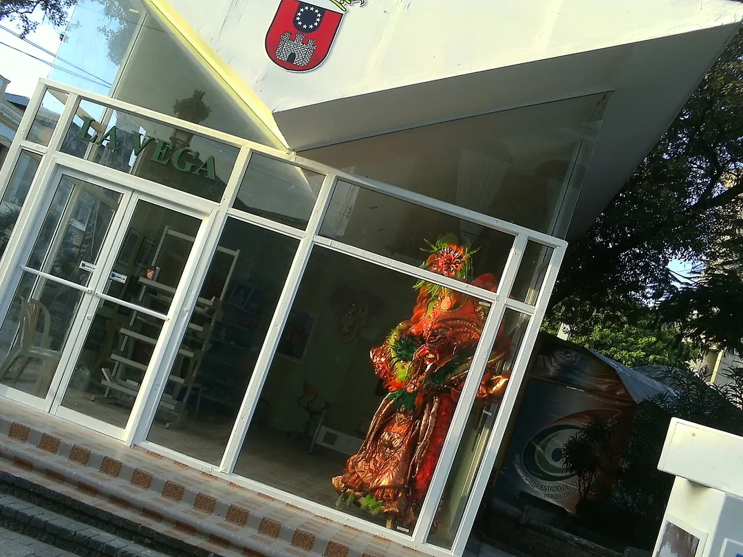
La Vega, officially Concepción de la Vega (Real), is the third most populous city and a municipality of the Dominican Republic. It is the provincial capital of the homonymous province. The city is known as the Carnival epicenter of the Dominican Republic for its tradition and culture, its large agricultural productionRead more
methods throughout its province.
Compare prices across Booking.com, Airbnb, Expedia, and more. Select your dates to see availability.
Pick your must-haves once: provider links open pre-filtered. Each filter lists which sites it applies to.
Compare before you book!
Prices can vary significantly between platforms. We recommend checking at least 2-3 sites to find the best deal for your stay in La Vega.
Discover famous landmarks, scenic roads, and more near La Vega.
Within an hour or so of La Vega: Pico Duarte (54 km).
La Vega is in La Vega, Dominican Republic, about 11 km from Río Verde Arriba.
Road trip
Add it as a stop and the planner works out the driving, the nights and what's worth seeing on the way.
Start planningSwipe through places to go
Places within a drive of La Vega. Keep the ones you like and add them to your trip.
1 notable place within an hour's drive.
scenic viewpoint
The highest peak in the Caribbean at 3,098 meters, a multi-day hike through pine forest in the Cordillera Central of the Dominican Republic.
54 km · about 60 min drive
Year-round
Tropical latitude: plan around the wet season rather than temperature.
Other places to explore near La Vega.
Your trip starts here
Pick the days, drop in the stops, and share it with whoever's coming.