
AfricaDemocratic Republic of the CongoBas-Congo
Kimpese
Bas-Congo, Democratic Republic of the Congo · Africa
About Kimpese
Kimpese sits on the route: 50 minutes from Buela.
Kimpese is in Bas-Congo, Democratic Republic of the Congo, with about 80,000 people. The nearest town is Buela, about 42 km away.
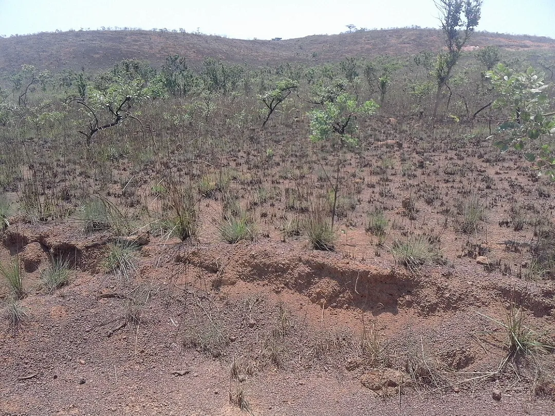
Kimpese is a town in the Cataractes District of Kongo Central province, Democratic Republic of the Congo. It lies on the main road and railway between Kinshasa and the provincial capital Matadi, at an altitude of 990 ft (301 m) above sea level.
There are tributaries of the Congo River to the north and south of theRead more
town. Kimpese has a hospital, medical training centre, high school, technical training institute and an agricultural college. The 400 bed Kimpese hospital serves 150,000 people in the local area and another 600,000 in the surrounding district. The town also contains an office of the UNHCR, which provides assistance to the nearly 60,000 Angolan refugees in Kongo Central province. Kimpeses population is approximately 40,000; and although DRC is a mainly catholic country, the town has a Protestant majority.
Where to Stay in Kimpese
Compare prices across Booking.com, Airbnb, Expedia, and more. Select your dates to see availability.
Filter presets
Pick your must-haves once: provider links open pre-filtered. Each filter lists which sites it applies to.
Compare before you book!
Prices can vary significantly between platforms. We recommend checking at least 2-3 sites to find the best deal for your stay in Kimpese.
Explore the Area
Discover famous landmarks, scenic roads, and more near Kimpese.
Loading map...
Frequently Asked Questions
Where is Kimpese?
Kimpese is in Bas-Congo, Democratic Republic of the Congo, about 42 km from Buela.
Road trip
Drive to Kimpese
Add it as a stop and the planner works out the driving, the nights and what's worth seeing on the way.
Start planningWhat's nearby?
Swipe through places to go
Places within a drive of Kimpese. Keep the ones you like and add them to your trip.
Explore now
Quick Information
- Population
- 79,539
- Continent
- Africa
- Country
- Democratic Republic of the Congo
- Region
- Bas-Congo
- Timezone
- Africa/Kinshasa
- Coordinates
- -5.5615, 14.4316
Tags
When to drive here
Year-round
Tropical latitude: plan around the wet season rather than temperature.
Nearby Destinations
Other places to explore near Kimpese.
Your trip starts here
Plan a road trip from Kimpese.
Pick the days, drop in the stops, and share it with whoever's coming.