cafe
Rapha Clubhouse Manchester
Manchester's cycling culture hub offering specialty coffee, kit, and a community space for riding enthusiasts.
11 km · about 20 min drive
England, United Kingdom · Europe
Kearsley is worth a stop: 10 minutes from Swinton, 35km from Snake Pass (A57).
Kearsley is in England, United Kingdom, with about 10,000 people. You drive on the left here. The nearest town is Swinton, about 4 km away.
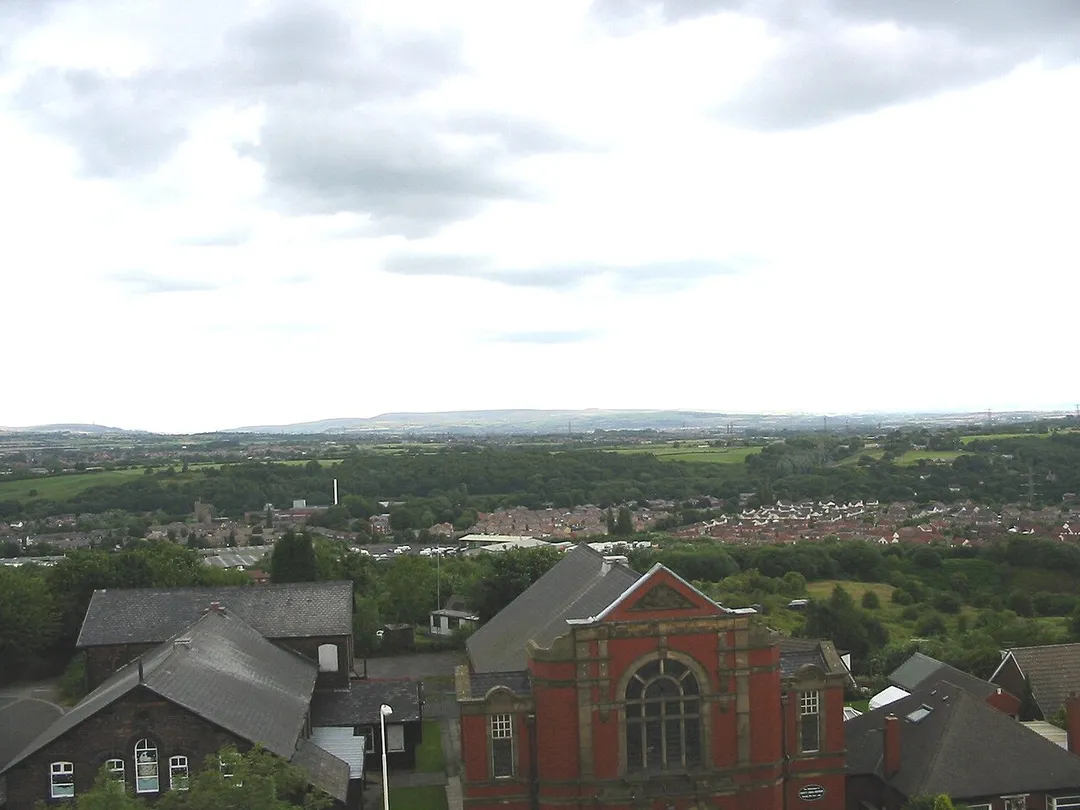
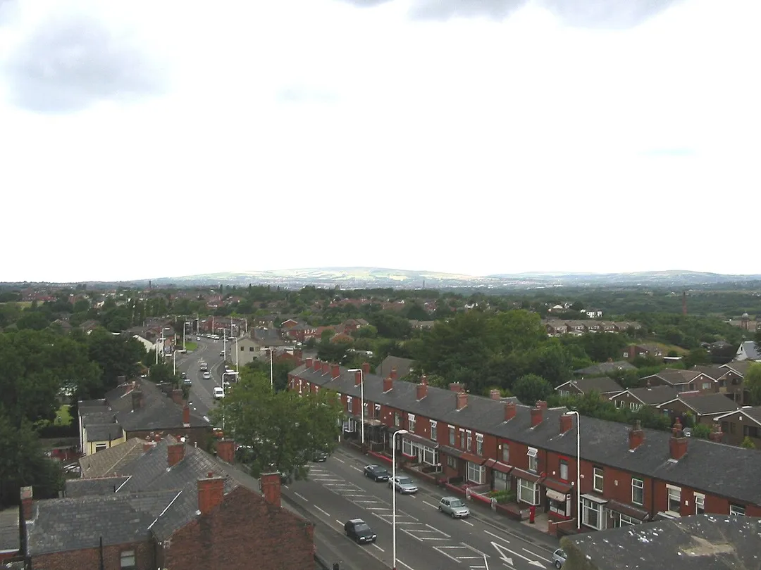
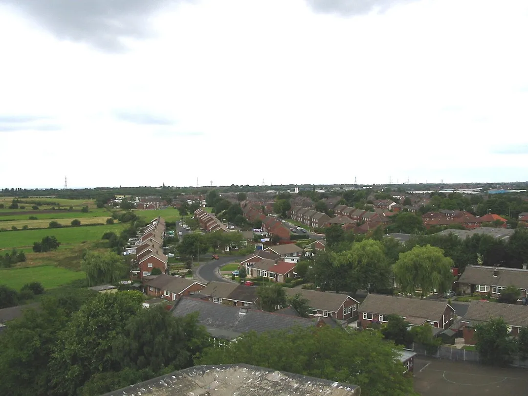
Kearsley ( KURZ-lee) is a town in the Metropolitan Borough of Bolton, Greater Manchester, England. The population at the 2011 census was 14,212. Within the Historic County of Lancashire, it lies 7 miles (11 km) northwest of Manchester, 5 miles (8 km) southwest of Bury and 3.5 miles (6 km) south of Bolton.
It isRead more
bounded to the west by Walkden, the east by Whitefield, the north by Farnworth and the south by Clifton.
Kearsley was a township in the ancient ecclesiastical parish of Deane, in the Hundred of Salford. Kearsley Urban District was a local government authority from 1894 until 1974. In 1933, part of Clifton was added to Kearsley Urban District. Part of Outwood, Radcliffe became part of Kearsley in line with the 1933 Lancashire Review.
Compare prices across Booking.com, Airbnb, Expedia, and more. Select your dates to see availability.
Pick your must-haves once: provider links open pre-filtered. Each filter lists which sites it applies to.
Compare before you book!
Prices can vary significantly between platforms. We recommend checking at least 2-3 sites to find the best deal for your stay in Kearsley.
Discover famous landmarks, scenic roads, and more near Kearsley.
Within an hour or so of Kearsley: Rapha Clubhouse Manchester (11 km), Lyme Park (Pemberley, 1995 Pride and Prejudice) (31 km), Snake Pass (A57) (35 km), Kinder Downfall (35 km).
The nearest famous roads are Holme Moss, Woodhead Pass and Snake Pass.
Kearsley is in England, United Kingdom, about 4 km from Swinton.
Road trip
Add it as a stop and the planner works out the driving, the nights and what's worth seeing on the way.
Start planningSwipe through places to go
Places within a drive of Kearsley. Keep the ones you like and add them to your trip.
Essential numbers in United Kingdom
112 also works. NHS non-emergency medical advice: 111. National Highways breakdown assistance on motorways: 0300 123 5000.
Full driving guide for United Kingdom8 notable places within an hour's drive.
cafe
Manchester's cycling culture hub offering specialty coffee, kit, and a community space for riding enthusiasts.
11 km · about 20 min drive
film location
The lake at Lyme Park is where Colin Firth's Mr Darcy emerges from the water in the BBC serial.
31 km · about 35 min drive
famous road
The Woodhead-era Telford road over the Pennines between Glossop and the Ladybower reservoirs, with fast curves and frequent winter closures.
35 km · about 40 min drive
waterfall
The Peak's highest waterfall at 30m, famously blown back up the cliff as spray in a westerly wind.
35 km · about 40 min drive
mountain pass
The A628 trans-Pennine route over bleak moorland past the Woodhead reservoirs, frequently closed by snow and high winds.
35 km · about 40 min drive
mountain pass
A 524 m Pennine pass on the A6024 topped by a landmark transmitter mast, a celebrated cycling climb used in the 2014 Tour de France.
35 km · about 40 min drive
famous road
A twisting road through the Peak District connecting Sheffield and Manchester, beloved by motorcyclists and driving enthusiasts.
36 km · about 40 min drive
scenic viewpoint
The highest point on the A57 crossing the Pennines, with moorland views stretching across the Dark Peak landscape.
36 km · about 40 min drive
9 named roads, passes and coastal drives within 60km.
April to October
Other places to explore near Kearsley.
Your trip starts here
Pick the days, drop in the stops, and share it with whoever's coming.