PYRTPlan Your Road Trips
Create TripCommunityMerchandise
PYRTPlan Your Road Trips
Create TripCommunityMerchandise
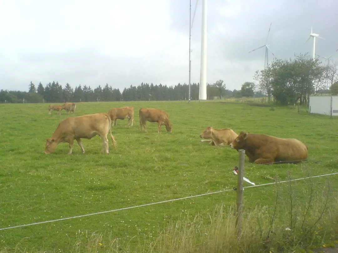
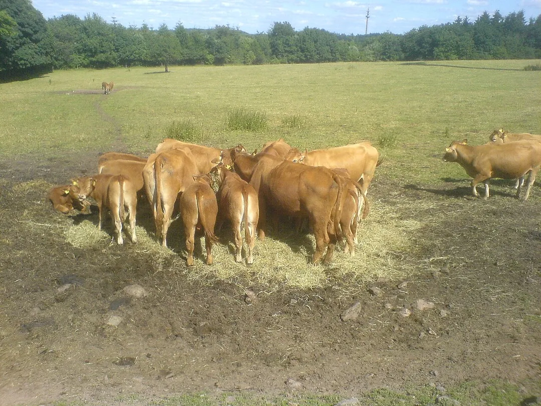
Limousinrinder auf der Freisener Höhe zwischen Freisen und Eckersweiler
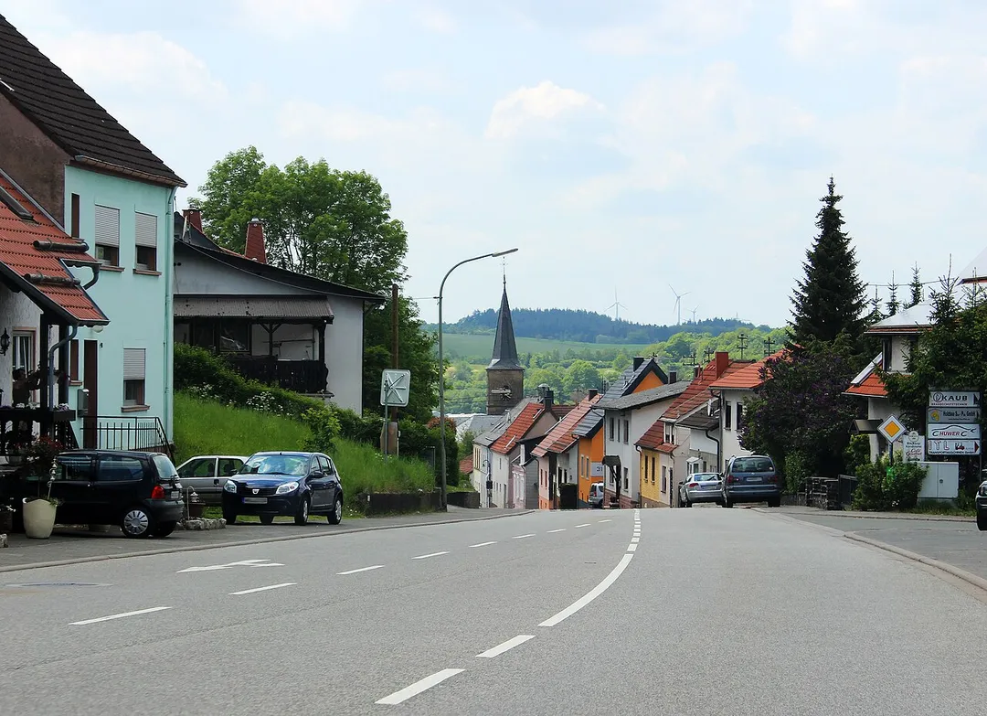
Baumholder Straße in Freisen, Gemeinde Freisen, Landkreis St. Wendel, Saarland.
Photo by Speifensender
Destinations
Home›Destinations›Freisen
EuropeGermanySaarland

Freisen

Saarland, Germany · Europe

About Freisen

Freisen sits on the route: 10 minutes from Pfeffelbach, 49km from Moselle Valley Road (B53).

Freisen is in Saarland, Germany, with about 8,800 people. You drive on the right here. The nearest town is Pfeffelbach, about 6 km away.

Freisen is a municipality in the district of Sankt Wendel, in Saarland, Germany. It is situated approximately 12 km northeast of Sankt Wendel, and 20 km southwest of Idar-Oberstein. The public transportation in Freisen/Oberkirchen is through bus and connects to other towns via transfers in Sankt Wendel and Neunkirchen.

Read more on Wikipedia

Where to Stay in Freisen

Compare prices across Booking.com, Airbnb, Expedia, and more. Select your dates to see availability.

Filter presets

Pick your must-haves once: provider links open pre-filtered. Each filter lists which sites it applies to.

Booking.comExpediaTripAdvisorHotels.comAgodaAirbnb

Compare before you book!

Prices can vary significantly between platforms. We recommend checking at least 2-3 sites to find the best deal for your stay in Freisen.

Explore the Area

Discover famous landmarks, scenic roads, and more near Freisen.

Loading map...
Open in Google Maps

Frequently Asked Questions

What is there to see near Freisen?

Within an hour or so of Freisen: Völklinger Hütte (44 km), Porta Nigra (49 km), Moselle Valley Road (B53) (49 km), Saarschleife (51 km).

Are there any good drives near Freisen?

The nearest famous roads are Moselle Valley Road (B53), Mosel Valley Wine Route and Route du Vin.

Where is Freisen?

Freisen is in Saarland, Germany, about 6 km from Pfeffelbach.

Road trip

Drive to Freisen

Add it as a stop and the planner works out the driving, the nights and what's worth seeing on the way.

Start planning

What's nearby?

Swipe through places to go

Places within a drive of Freisen. Keep the ones you like and add them to your trip.

Explore now

Quick Information

Population
8,778
Continent
Europe
Country
Germany
Region
Saarland
Timezone
Europe/Berlin
Coordinates
49.5500, 7.2500

Emergency & Services

Essential numbers in Germany

Police
110
Ambulance
112
Fire
112
All emergencies
112
Driving side
right

ADAC roadside assistance: +49 89 22 22 22. No general speed limit on some autobahn sections but advisory 130 km/h.

Full driving guide for Germany

Tags

EuropeGermanySaarlandTown

Worth the detour from Freisen

5 notable places within an hour's drive.

museum

Völklinger Hütte

A vast decommissioned ironworks turned UNESCO industrial monument, where you can climb 27 m up the old blast furnaces.

44 km · about 50 min drive

ancient ruins

Porta Nigra

The best-preserved Roman city gate north of the Alps, its blackened sandstone has guarded Trier for nearly 1,900 years.

49 km · about 55 min drive

famous road

Moselle Valley Road (B53)

A slow, beautiful river road through the steepest vineyards in Europe between Trier and Koblenz.

49 km · about 55 min drive

scenic viewpoint

Saarschleife

From the Cloef viewpoint and treetop walk, the Saar River carves a spectacular horseshoe through forested hills.

51 km · about 60 min drive

scenic viewpoint

Luxembourg Moselle Valley

Terraced Riesling vineyards line the gentle Moselle, a string of wine villages on a slow scenic river drive.

60 km · about 70 min drive

Driving roads near Freisen

  • 49 kmMoselle Valley Road (B53)A slow, beautiful river road through the steepest vineyards in Europe between Trier and Koblenz.
  • 51 kmSaarschleifeFrom the Cloef viewpoint and treetop walk, the Saar River carves a spectacular horseshoe through forested hills.
  • 60 kmLuxembourg Moselle ValleyTerraced Riesling vineyards line the gentle Moselle, a string of wine villages on a slow scenic river drive.
  • 62 kmMosel Valley Wine RouteOne of Europe's most scenic wine regions, where the Mosel River winds through steep vineyard-covered slopes and charming villages.
  • 62 kmGeierlay Suspension BridgeOne of Germany's longest suspension footbridges sways 100 m above a Hunsrück valley on a thrilling 360 m crossing.
  • 63 kmCalmont MoselschleifeA jaw-dropping hairpin loop of the Moselle viewed from above Bremm, framed by Europe's steepest vineyard.

Driving in Germany

Drives on
the right
Petrol
~€1.78/litre
Motorway tolls
None

When to drive here

April to October

Nearby Destinations

Other places to explore near Freisen.

Namborn

🇩🇪 Germany

8 km awayPop. 7,642

Nohfelden

🇩🇪 Germany

9 km awayPop. 10,687

Sankt Wendel

🇩🇪 Germany

11 km awayPop. 26,904

Birkenfeld

🇩🇪 Germany

13 km awayPop. 6,947

Marpingen

🇩🇪 Germany

18 km awayPop. 11,358

Idar-Oberstein

🇩🇪 Germany

19 km awayPop. 29,158

Bruchmühlbach-Miesau

🇩🇪 Germany

23 km awayPop. 7,800

Plan a trip around Freisen

Germany road trip planner

Your trip starts here

Plan a road trip from Freisen.

Pick the days, drop in the stops, and share it with whoever's coming.

Start planning
PYRT

The ultimate road trip planning platform. Discover 150,000+ destinations worldwide, plan scenic routes, and create unforgettable adventures.

Inspiration

  • Discover Trips
  • Travel Guides
  • Community

The Product

  • Calendar Planner
  • Integrations
  • How It Works
  • Collaboration Mode
  • Get the App
  • Merchandise: PYRT Supply Co.
  • Become a Creator
  • Trip Marketplace

Plan Your Trip

  • Road Trip Planner
  • Famous Routes
  • Drive Times & Distances
  • Planners by Country
  • Best Road Trip Planner App
  • Discover Road Trips
  • Events
  • Travel Guides
  • How It Works
  • My Trips
  • Community Groups

Company

  • Terms of Service
  • Privacy Policy
  • About PYRT
  • Support
  • Contact Us
  • Sign In
  • Create Account

© 2026 Plan Your Road Trips. All rights reserved.

•[email protected]
Data sources:GeoNames (CC BY 4.0)•Wikimedia Commons (CC BY-SA)•Mapbox•Photography: George Lawrence