
landmark
Antigua Guatemala
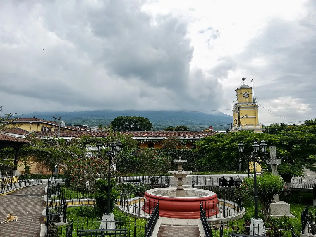
A UNESCO colonial city framed by volcanoes, filled with cobblestone streets, pastel-colored buildings, and stunning ruined churches.
5 km · about 10 min drive
Sacatepéquez, Guatemala · North America
Ciudad Vieja is worth a stop: 5 minutes from San Miguel Dueñas, 24km from Pacaya Volcano.
Ciudad Vieja is in Sacatepéquez, Guatemala, with about 33,000 people. The nearest town is San Miguel Dueñas, about 4 km away.
Ciudad Vieja (Spanish pronunciation: [sjuˈðað ˈβjexa]) is a town and municipality in the Guatemalan department of Sacatepéquez. According to the 2018 census, the town has a population of 32,802 and the municipality a population of 33,405. Ciudad Vieja was the second site of Santiago de los Caballeros de Guatemala, theRead more
colonial capital of the country.
San Miguel Escobar is the modern name for the district that contains the ruins of the second colonial capital of the Guatemala region. The Spaniards founded their capital here in 1527, after their previous capital at Tecpán Guatemala became untenable. The city was destroyed by a catastrophic lahar from Volcan de Agua in 1541, and the survivors had no choice but to abandon the site. Among the casualties was the governor Beatriz de la Cueva.
Compare prices across Booking.com, Airbnb, Expedia, and more. Select your dates to see availability.
Pick your must-haves once: provider links open pre-filtered. Each filter lists which sites it applies to.
Compare before you book!
Prices can vary significantly between platforms. We recommend checking at least 2-3 sites to find the best deal for your stay in Ciudad Vieja.
Discover famous landmarks, scenic roads, and more near Ciudad Vieja.
Within an hour or so of Ciudad Vieja: Antigua Guatemala (5 km), Acatenango (12 km), Pacaya Volcano (24 km), Lake Atitlan (49 km).
The nearest famous roads are Ruta de las Flores.
Ciudad Vieja is in Sacatepéquez, Guatemala, about 4 km from San Miguel Dueñas.
Road trip
Add it as a stop and the planner works out the driving, the nights and what's worth seeing on the way.
Start planningSwipe through places to go
Places within a drive of Ciudad Vieja. Keep the ones you like and add them to your trip.
6 notable places within an hour's drive.
landmark
A UNESCO colonial city framed by volcanoes, filled with cobblestone streets, pastel-colored buildings, and stunning ruined churches.
5 km · about 10 min drive
scenic viewpoint
A 3,976 m stratovolcano near Antigua climbed overnight so hikers can camp on the ridge and watch neighbouring Volcán de Fuego erupt through the night: one of the most reliable live-eruption views on earth.
12 km · about 25 min drive
natural wonder
An active volcano near Antigua Guatemala where hikers can roast marshmallows on volcanic vents and see glowing lava flows.
24 km · about 25 min drive
natural wonder
A breathtaking volcanic lake surrounded by three towering volcanoes and traditional Mayan villages, often called the most beautiful lake in the world.
49 km · about 55 min drive
landmark
A backpacker and artist hub on Lake Atitlán's shores beneath San Pedro Volcano, known for Spanish schools and Tz'utujil Maya culture.
58 km · about 65 min drive
landmark
Central America's largest indigenous market held every Thursday and Sunday, overflowing with textiles, masks, flowers, and Maya rituals.
60 km · about 70 min drive
Year-round
Tropical latitude: plan around the wet season rather than temperature.
Other places to explore near Ciudad Vieja.
Your trip starts here
Pick the days, drop in the stops, and share it with whoever's coming.