
cathedral
St. Rumbold's Tower
Climb 538 steps up Mechelen's unfinished Gothic tower for a sky-walk panorama reaching as far as Antwerp and Brussels.
14 km · about 25 min drive
Flanders, Belgium · Europe
Beerzel works well as a base: 5 minutes from Schriek, 14km from St. Rumbold's Tower.
Beerzel is in Flanders, Belgium, with about 6,100 people. You drive on the right here. The nearest town is Schriek, about 4 km away.
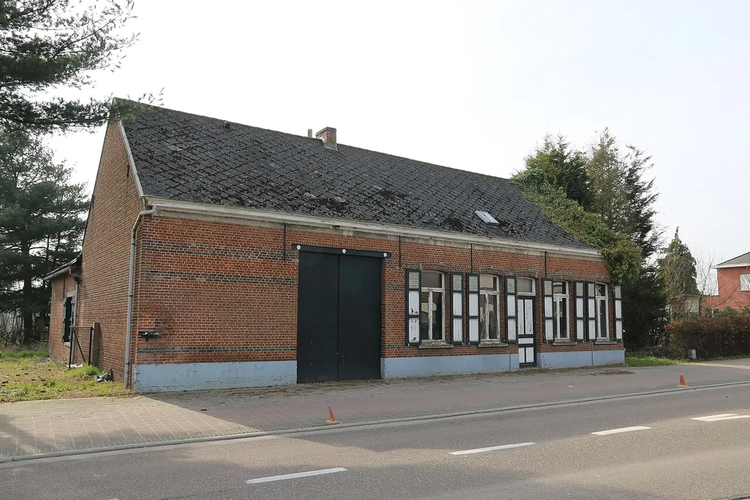
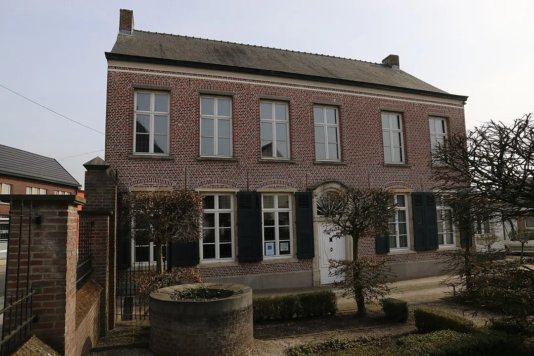
Beerzel (Dutch: [ˈbeːrzəl] ) is a Belgian village in Antwerp Province and a deelgemeente of the municipality Putte. Beerzel was a municipality until 1977, at which time it had an area of 7.83 square kilometres (3.02 sq mi) with 4,971 inhabitants in 1995. At 51.6 metres (169 ft), Antwerp's highest point—theRead more
Beerzelberg—is located in Beerzel.
Compare prices across Booking.com, Airbnb, Expedia, and more. Select your dates to see availability.
Pick your must-haves once: provider links open pre-filtered. Each filter lists which sites it applies to.
Compare before you book!
Prices can vary significantly between platforms. We recommend checking at least 2-3 sites to find the best deal for your stay in Beerzel.
Discover famous landmarks, scenic roads, and more near Beerzel.
Within an hour or so of Beerzel: St. Rumbold's Tower (14 km), Leuven Town Hall (20 km), Antwerp Zoo (25 km), Antwerpen-Centraal (25 km).
The nearest famous roads are Brouwersdam, Chimay Street Circuit and Baraque de Fraiture.
Beerzel is in Flanders, Belgium, about 4 km from Schriek.
Road trip
Add it as a stop and the planner works out the driving, the nights and what's worth seeing on the way.
Start planningSwipe through places to go
Places within a drive of Beerzel. Keep the ones you like and add them to your trip.
8 notable places within an hour's drive.
cathedral
Climb 538 steps up Mechelen's unfinished Gothic tower for a sky-walk panorama reaching as far as Antwerp and Brussels.
14 km · about 25 min drive
landmark
A lacework masterpiece of late-Gothic stone, crusted with statues and pinnacles in Belgium's great university city.
20 km · about 25 min drive
landmark
Historic Belgian zoo next to the central train station, one of the oldest in the world, founded in 1843.
25 km · about 30 min drive
landmark
A cathedral-like railway station of marble, gilt and glass, repeatedly voted one of the most beautiful in the world.
25 km · about 30 min drive
cathedral
Belgium's tallest Gothic building housing masterpieces by Rubens, with a UNESCO-listed 123-metre tower visible across Flanders.
26 km · about 30 min drive
museum
The world's oldest surviving printing house, run by the Plantin family in Antwerp from 1576 to 1867 and the only museum on the UNESCO World Heritage list: complete with the two oldest printing presses in existence and a Gutenberg Bible.
26 km · about 30 min drive
landmark
Futuristic building in Brussels shaped like an iron crystal magnified 165 billion times, built for the 1958 World Expo.
29 km · about 35 min drive
museum
300 vehicles spanning a century of motoring displayed in the grand Cinquantenaire Palace arcade.
31 km · about 35 min drive
4 named roads, passes and coastal drives within 150km.
April to October
Other places to explore near Beerzel.
Your trip starts here
Pick the days, drop in the stops, and share it with whoever's coming.