
famous road
Deutsche Alpenstrasse
Germany's oldest holiday road winding 450km along the Bavarian Alps past lakes, castles and mountain passes from Lindau to Berchtesgaden.
19 km · about 20 min drive
Bavaria, Germany · Europe
Bad Wiessee works well as a base: 10 minutes from Gmund am Tegernsee, 19km from Deutsche Alpenstrasse.
Bad Wiessee is in Bavaria, Germany, with about 4,300 people. You drive on the right here. The nearest town is Gmund am Tegernsee, about 4 km away.
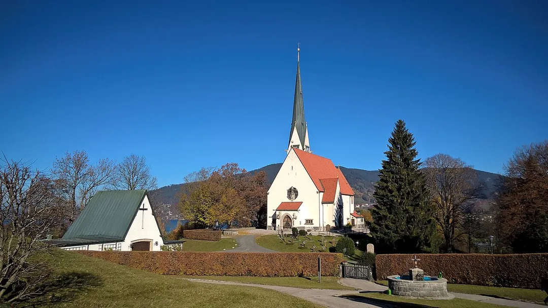
Bad Wiessee (Central Bavarian: Bad Wiessä) is a municipality in the district of Miesbach in Upper Bavaria in Germany. Since 1922, it has been a spa town and located on the western shore of the Tegernsee Lake. It had a population of around 4800 inhabitants in 2014. The word "Bad" means "spa" or "baths", while "Wiessee"Read more
derives from "Westsee", meaning "western part of the lake". Bad Wiessee was first documented in 1017 in the tax book of the Tegernsee Abbey, encouraged to pay goods to the abbey.
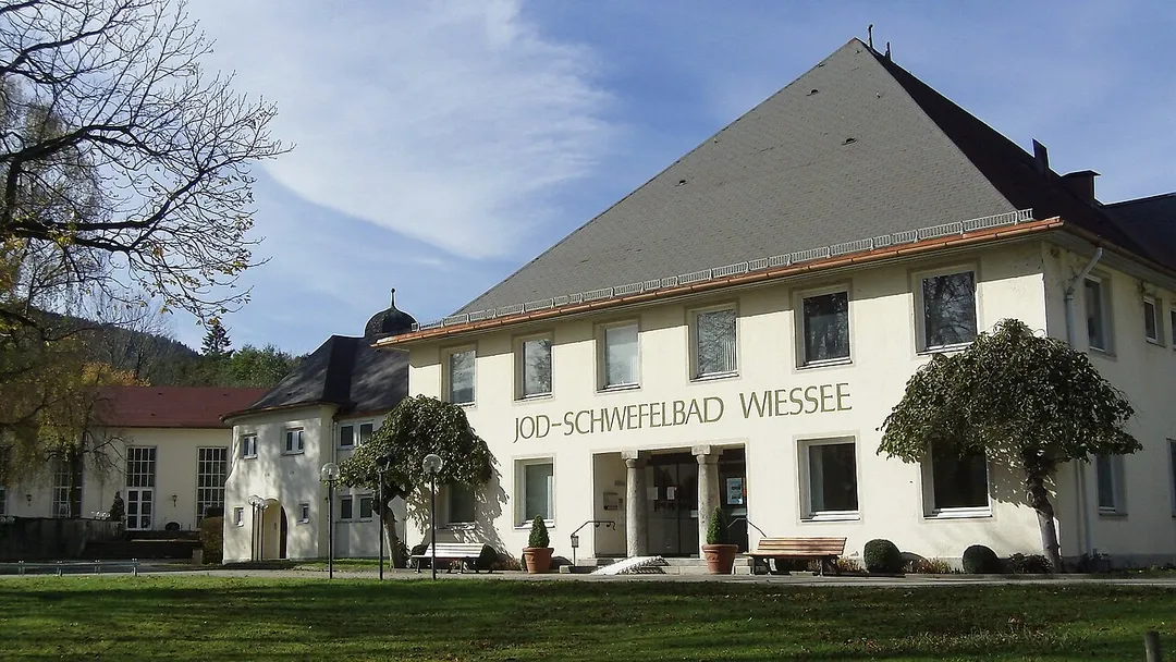
Bad Wiessee is known for its healing sulfur-fountain, discovered by the Dutch oil explorer Adriaan Stoop in 1909 while he was drilling for oil. He built the first iodine sulfur bath in 1912 after oil production had been exhausted. People spend their holidays in Bad Wiessee because of its quiet atmosphere and its location at the north side of the Alps.
Tourism is one of the main sources of income for the population of Bad Wiessee. Although spa tourism has declined in the last decades, Bad Wiessee is still very popular for its casino and with wealthy people, many of them buying a second home or condo to spend their holidays or retirement there. The hotels, shops and restaurants cater for the medium-price-category traveller but traditional B&B and reasonable priced accommodations are still available all year round.
Compare prices across Booking.com, Airbnb, Expedia, and more. Select your dates to see availability.
Pick your must-haves once: provider links open pre-filtered. Each filter lists which sites it applies to.
Compare before you book!
Prices can vary significantly between platforms. We recommend checking at least 2-3 sites to find the best deal for your stay in Bad Wiessee.
Discover famous landmarks, scenic roads, and more near Bad Wiessee.
Within an hour or so of Bad Wiessee: Deutsche Alpenstrasse (19 km), Sylvenstein Reservoir (20 km), Sudelfeld Pass (24 km), Achensee (30 km).
The nearest famous roads are Deutsche Alpenstrasse, Sudelfeld Pass and Kesselberg Road.
Bad Wiessee is in Bavaria, Germany, about 4 km from Gmund am Tegernsee.
Road trip
Add it as a stop and the planner works out the driving, the nights and what's worth seeing on the way.
Start planningSwipe through places to go
Places within a drive of Bad Wiessee. Keep the ones you like and add them to your trip.
Essential numbers in Germany
ADAC roadside assistance: +49 89 22 22 22. No general speed limit on some autobahn sections but advisory 130 km/h.
Full driving guide for Germany8 notable places within an hour's drive.
famous road
Germany's oldest holiday road winding 450km along the Bavarian Alps past lakes, castles and mountain passes from Lindau to Berchtesgaden.
19 km · about 20 min drive
scenic viewpoint
A vivid blue reservoir crossed by a graceful bridge on the German Alpine Road, gateway to the Karwendel mountains.
20 km · about 25 min drive
mountain pass
The 1,123 m summit of the B307 between Bayrischzell and the Tatzelwurm gorge, part of the German Alpine Road and one of Upper Bavaria's favourite weekend driving and biking loops.
24 km · about 30 min drive
natural wonder
Tyrol's largest lake, a pristine fjord-like alpine jewel between the Karwendel and Rofan mountain ranges, perfect for sailing and diving.
30 km · about 35 min drive
famous road
Bavaria's most celebrated driving road: the B11 climbs in tight switchbacks from Kochelsee to Walchensee over the 858 m Kesselberg, a historic hillclimb course beloved by motorcyclists since the 1900s.
30 km · about 35 min drive
landmark
Voted Austria's most beautiful village: since 1953 every building must follow the traditional wooden Tyrolean style, and the balconies disappear under flowers all summer.
39 km · about 45 min drive
museum
The world's largest science and technology museum, with hands-on exhibits spanning mining, aviation, and physics.
47 km · about 55 min drive
landmark
Munich's central square dominated by the Neo-Gothic New Town Hall whose Glockenspiel chimes daily with jousting knights and dancing coopers.
48 km · about 55 min drive
April to October
Other places to explore near Bad Wiessee.
Your trip starts here
Pick the days, drop in the stops, and share it with whoever's coming.