
mountain pass
Paso de Cortés
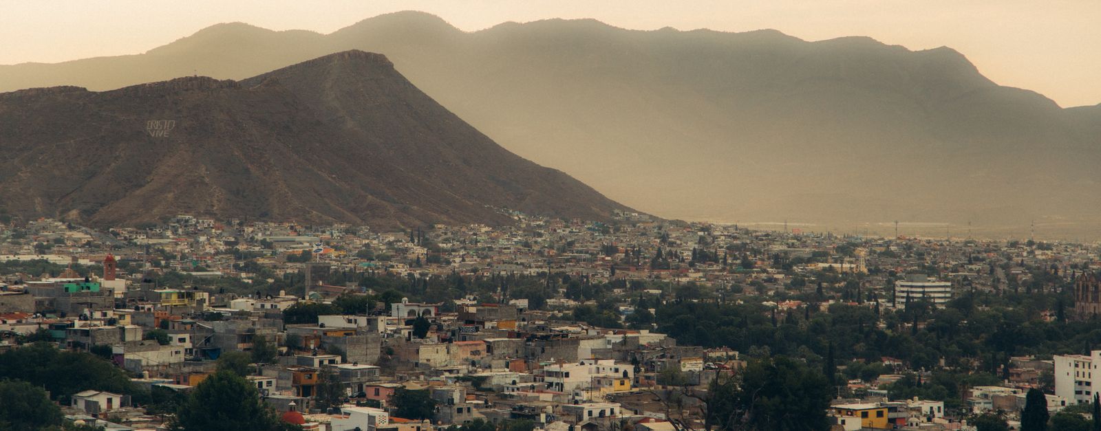
The 3,600-m saddle between the volcanoes Popocatépetl and Iztaccíhuatl, reached by a paved mountain road from Amecameca: the route Cortés marched into the Valley of Mexico in 1519.
17 km · about 20 min drive
México, Mexico · North America
Atzingo is worth a stop: 10 minutes from Tlalmanalco, 23km from Popocatépetl.
Atzingo is in México, Mexico, with about 2,200 people. You drive on the right here. The nearest town is Tlalmanalco, about 4 km away.
Compare prices across Booking.com, Airbnb, Expedia, and more. Select your dates to see availability.
Pick your must-haves once: provider links open pre-filtered. Each filter lists which sites it applies to.
Compare before you book!
Prices can vary significantly between platforms. We recommend checking at least 2-3 sites to find the best deal for your stay in Atzingo.
Discover famous landmarks, scenic roads, and more near Atzingo.
Within an hour or so of Atzingo: Paso de Cortés (17 km), Popocatépetl (23 km), Xochimilco Floating Gardens (35 km), Tepoztlán (40 km).
The nearest famous roads are Paso de Cortés.
Atzingo is in México, Mexico, about 4 km from Tlalmanalco.
Road trip
Add it as a stop and the planner works out the driving, the nights and what's worth seeing on the way.
Start planningSwipe through places to go
Places within a drive of Atzingo. Keep the ones you like and add them to your trip.
Essential numbers in Mexico
Green Angels (free tourist roadside assistance on federal highways): 078.
Full driving guide for Mexico8 notable places within an hour's drive.
mountain pass
The 3,600-m saddle between the volcanoes Popocatépetl and Iztaccíhuatl, reached by a paved mountain road from Amecameca: the route Cortés marched into the Valley of Mexico in 1519.
17 km · about 20 min drive
natural wonder
An active 5,426 m stratovolcano southeast of Mexico City, visible from the Puebla highway; the Paso de Cortés road runs on its saddle.
23 km · about 25 min drive
landmark
A network of ancient Aztec canals and artificial islands where colorful trajinera boats glide past floating gardens and mariachi bands.
35 km · about 40 min drive
landmark
A Morelos town under sheer volcanic cliffs, with a hilltop 13th-century pyramid to the pulque god reached by a steep hour's climb, a fortress-like Dominican convent, and a market known for exotic ice creams.
40 km · about 45 min drive
racetrack
The Mexico City circuit hosting the Formula 1 Mexican Grand Prix, built around the Foro Sol stadium section.
42 km · about 50 min drive
museum
The vibrant blue house where Frida Kahlo was born, lived, and died, filled with her art, personal objects, and Diego Rivera's collection.
45 km · about 50 min drive
landmark
Mexico City's premier amusement park with world-class coasters and seasonal events in the south of the city.
47 km · about 55 min drive
landmark
One of the largest public plazas in the world and the historic heart of Mexico City, surrounded by the National Palace and Metropolitan Cathedral.
47 km · about 55 min drive
Year-round
Tropical latitude: plan around the wet season rather than temperature.
Other places to explore near Atzingo.
Your trip starts here
Pick the days, drop in the stops, and share it with whoever's coming.