landmark
Chatuchak Weekend Market
One of the world's largest outdoor markets with over 15,000 stalls selling everything from vintage clothes to live pets across 35 acres.
13 km · about 25 min drive
Bangkok, Thailand · Asia
Tha Raeng works well as a base: 10 minutes from Anusawari, 21km from Wat Phra Kaew (Temple of the Emerald Buddha).
Tha Raeng is a town located in Bangkok, Thailand. With a population of 97,658, it is an important destination in Asia.
On a road trip, Tha Raeng sits in Thailand, where you drive on the left. It's in the Asia/Bangkok time zone. Below you'll find where to stay, things to do nearby, and everything you need to add Tha Raeng to your route.
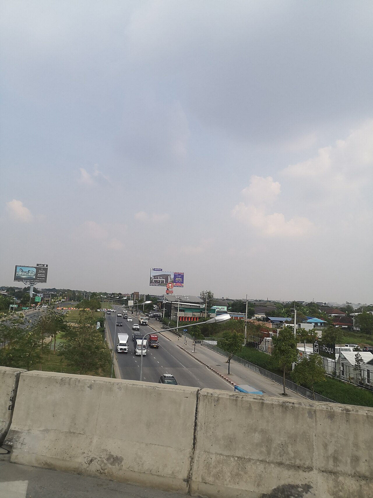
Lat Pla Khao Road (Thai: ถนนลาดปลาเค้า, pronounced [tʰā.nǒn lâːt.plāː.kháo]) is a road in the form of a soi (alley) in Bangkok. It is regarded as a minor road that connects several major roads, such as Chok Chai 4, Prasoet Manukit, and Ram Inthra. Its name has also come to refer to the surrounding neighbourhood.
LatRead more
Pla Khao Road begins in Lat Phrao District as a continuation of Lat Phrao Wang Hin Road at Wang Hin Intersection, where it meets Sena Nikhom 1 Road. From there, it runs northward with a slight curve to the east, entering the Chorakhe Bua area and intersecting with Prasoet Manukit Road. It then heads northeast, bending again in front of Wat Lat Pla Khao temple, before entering Bang Khen District by crossing Khlong Sam Kha canal. The road continues straight until it ends at Lat Pla Khao Junction, where it meets Ram Inthra Road.
The road was originally called "Rap Pla Khao" (ราบปลาเค้า), but the name gradually evolved into "Lat Pla Khao" as it is today. The name refers to the abundance of wallago sheatfish (pla khao in Thai) that once thrived in the area. The road is also commonly known as "Soi Lat Pla Khao" (ซอยลาดปลาเค้า).
An important figure who resides in the Lat Pla Khao neighbourhood is Sudarat Keyuraphan, a prominent female politician and former Minister of Public Health.
Today, the road and neighbourhood are served by Lat Pla Khao Station (PK18) on the MRT Pink Line, which runs above Ram Inthra Road.
Compare prices across Booking.com, Airbnb, Expedia, and more. Select your dates to see availability.
Pick your must-haves once: provider links open pre-filtered. Each filter lists which sites it applies to.
Compare before you book!
Prices can vary significantly between platforms. We recommend checking at least 2-3 sites to find the best deal for your stay in Tha Raeng.
Discover famous landmarks, scenic roads, and more near Tha Raeng.
Tha Raeng offers many attractions including tourist sites, museums, parks, and local restaurants. Explore famous landmarks, scenic roads, and natural wonders on our interactive map and plan your visit.
Plan your road trip to Tha Raeng with Plan Your Road Trips! Add Tha Raeng as a destination, and we'll help you find the best route and discover more amazing places along the way.
Tha Raeng is located in Bangkok, Thailand, Asia. The coordinates are 13.8685 latitude, 100.6453 longitude.
Tha Raeng has a population of approximately 97,658 people, making it a town in Thailand.
Add to your itinerary
Start planning your road trip with Tha Raeng as a destination. Create a custom route and discover more amazing places along the way.
Start Road TripDiscover destinations like Tinder
Swipe through stunning destinations near Tha Raeng. Save your favourites and add them to your trip.
Essential numbers in Thailand
Tourist police (English): 1155.
Full driving guide for Thailand8 notable places within an hour's drive.
landmark
One of the world's largest outdoor markets with over 15,000 stalls selling everything from vintage clothes to live pets across 35 acres.
13 km · about 25 min drive
landmark
Bangkok's legendary backpacker street buzzing with budget guesthouses, street food vendors, bars, and a nonstop party atmosphere.
20 km · about 25 min drive
restaurant
Supinya Junsuta cooks over charcoal in ski goggles at this Mahachai Road shophouse, which took a Michelin star in 2018: the first Bangkok street stall to do so. The crab omelette is the reason for the queue.
20 km · about 25 min drive
cathedral
Thailand's most sacred Buddhist temple, located within the grounds of the Grand Palace in Bangkok.
21 km · about 25 min drive
landmark
A dazzling complex of ornate halls, pavilions, and the sacred Emerald Buddha temple that served as the Thai royal residence for 150 years.
21 km · about 25 min drive
landmark
Bangkok's oldest and largest temple complex, home to a massive 46-meter gold-plated reclining Buddha and a renowned massage school.
21 km · about 25 min drive
landmark
A striking riverside temple adorned with colorful porcelain and seashell mosaics, featuring a towering Khmer-style prang that glitters in sunlight.
22 km · about 25 min drive
bridge
Striking twin cable-stayed spans carrying Bangkok's Industrial Ring Road over two bends of the Chao Phraya River, their diamond-shaped pylons a landmark of the southern skyline.
25 km · about 30 min drive
Year-round
Tropical latitude: plan around the wet season rather than temperature.
Other places to explore near Tha Raeng.
Create your perfect itinerary with our calendar-based planner. Add stops, discover attractions along the way, and share your trip with friends.
Start Planning