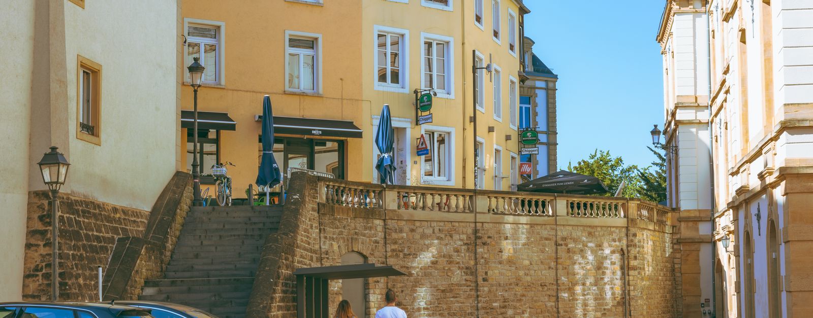


famous road
Route du Vin
Wine road running about 42 kilometres along the Moselle from Schengen to Wasserbillig, linking terraced vineyards and riverside villages.
2 km · about 5 min drive
Remich, Luxembourg · Europe
Stadtbredimus works well as a base: 10 minutes from Lenningen, 2km from Route du Vin.
Stadtbredimus is a town located in Remich, Luxembourg. With a population of 749, it is an important destination in Europe.
On a road trip, Stadtbredimus sits in Luxembourg, where you drive on the right. It's in the Europe/Luxembourg time zone. Below you'll find where to stay, things to do nearby, and everything you need to add Stadtbredimus to your route.
Stadtbredimus (Luxembourgish: Stadbriedemes) is a commune and small town in south-eastern Luxembourg. It is part of the canton of Remich.
As of 2025, the town of Stadtbredimus, which lies in the south-east of the commune, has a population of 948. Other towns within the commune include Greiveldange.
StadtbredimusRead more
Castle in the centre of the town has a history going back to the 13th century when a fortified castle stood on the site. In 1724, today's castle was built on the ruins of the old fort. It was here that Luxembourg's national poet, Edmond de la Fontaine, better known as Dicks, lived from 1858 to 1881.
Compare prices across Booking.com, Airbnb, Expedia, and more. Select your dates to see availability.
Pick your must-haves once: provider links open pre-filtered. Each filter lists which sites it applies to.
Compare before you book!
Prices can vary significantly between platforms. We recommend checking at least 2-3 sites to find the best deal for your stay in Stadtbredimus.
Discover famous landmarks, scenic roads, and more near Stadtbredimus.
Stadtbredimus offers many attractions including tourist sites, museums, parks, and local restaurants. Explore famous landmarks, scenic roads, and natural wonders on our interactive map and plan your visit.
Plan your road trip to Stadtbredimus with Plan Your Road Trips! Add Stadtbredimus as a destination, and we'll help you find the best route and discover more amazing places along the way.
Stadtbredimus is located in Remich, Luxembourg, Europe. The coordinates are 49.5628 latitude, 6.3644 longitude.
Stadtbredimus has a population of approximately 749 people, making it a town in Luxembourg.
Add to your itinerary
Start planning your road trip with Stadtbredimus as a destination. Create a custom route and discover more amazing places along the way.
Start Road TripDiscover destinations like Tinder
Swipe through stunning destinations near Stadtbredimus. Save your favourites and add them to your trip.
8 notable places within an hour's drive.
famous road
Wine road running about 42 kilometres along the Moselle from Schengen to Wasserbillig, linking terraced vineyards and riverside villages.
2 km · about 5 min drive
landmark
Moselle village at the France-Germany-Luxembourg tripoint where the 1985 Schengen Agreement was signed, with a European Museum and parking.
10 km · about 20 min drive
scenic viewpoint
Terraced Riesling vineyards line the gentle Moselle, a string of wine villages on a slow scenic river drive.
14 km · about 25 min drive
landmark
American military cemetery at Hamm holding over 5,000 graves including General Patton's, with visitor parking off the access road.
14 km · about 25 min drive
landmark
Fortified Lorraine village dubbed the 'Little Carcassonne', minutes from the Luxembourg border, with 700 m of intact medieval ramparts, a massive gate tower and flower-lined lanes.
14 km · about 25 min drive
scenic viewpoint
From the Cloef viewpoint and treetop walk, the Saar River carves a spectacular horseshoe through forested hills.
15 km · about 30 min drive
landmark
A honeycomb of cannon tunnels bored through the Bock promontory, the cradle of Luxembourg City's clifftop fortress.
17 km · about 20 min drive
scenic viewpoint
Rampart walkway along Luxembourg City's old walls, described as Europe's most beautiful balcony, overlooking the Grund quarter.
17 km · about 20 min drive
April to October
Other places to explore near Stadtbredimus.
Create your perfect itinerary with our calendar-based planner. Add stops, discover attractions along the way, and share your trip with friends.
Start Planning