museum
Museo del Oro (Gold Museum), Bogotá
The world's largest collection of pre-Columbian gold artifacts with over 55,000 pieces from Colombia's ancient civilizations.
21 km · about 25 min drive
Cundinamarca, Colombia · South America
Mosquera is worth a stop: 10 minutes from Madrid, 59km from Lake Guatavita.
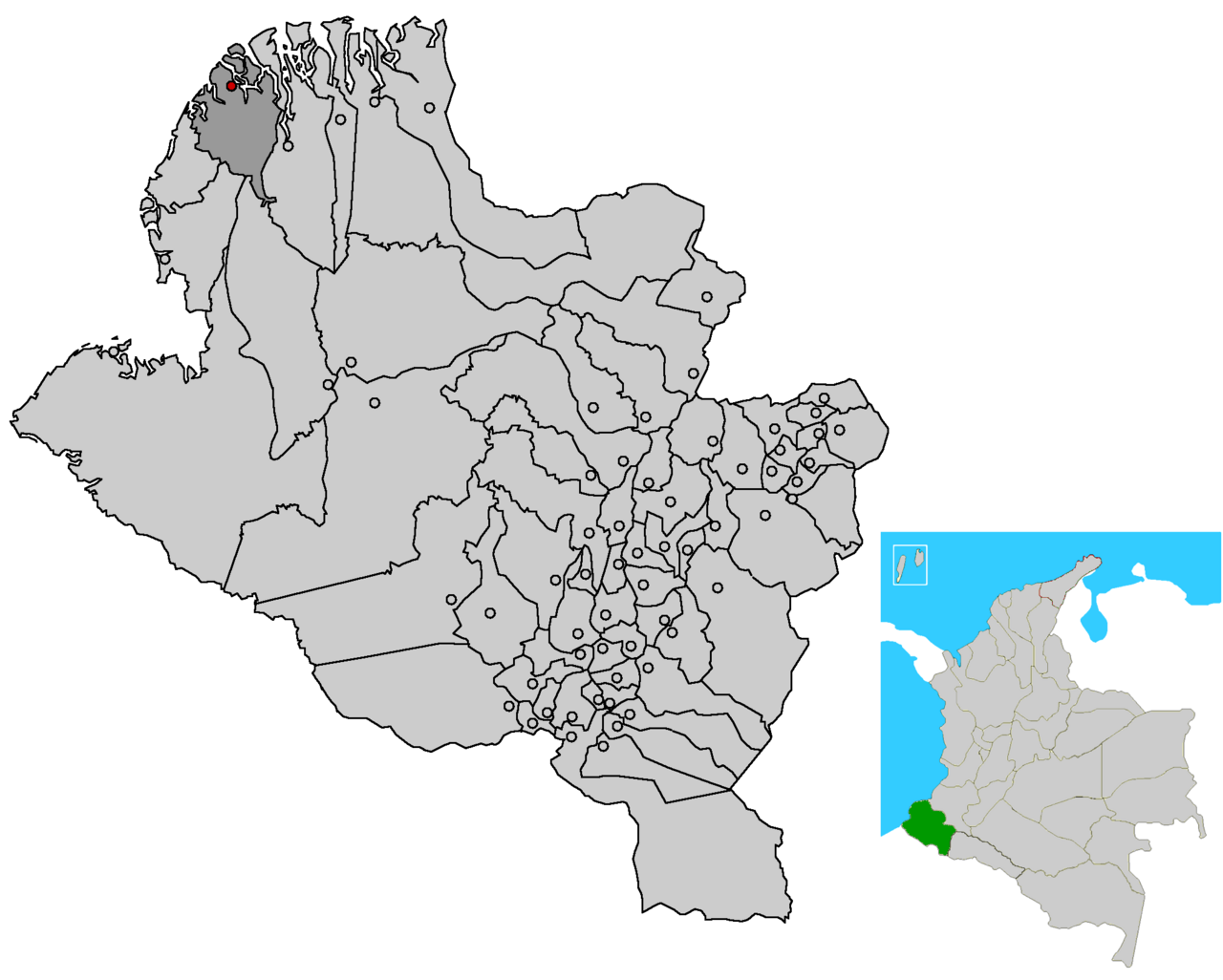
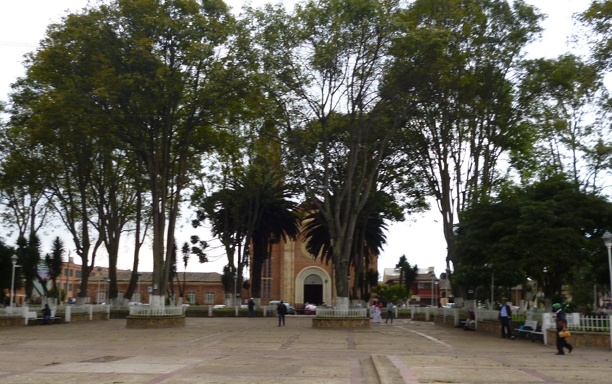
Mosquera is a city located in Cundinamarca, Colombia. With a population of 128,012, it is an important destination in South America.
On a road trip, Mosquera sits in Colombia, where you drive on the right. It's in the America/Bogota time zone. Below you'll find where to stay, things to do nearby, and everything you need to add Mosquera to your route.
Mosquera is a municipality of Colombia in the Western Savanna Province, part of the department of Cundinamarca. Mosquera is close to the capital Bogotá and is part of its metropolitan area. The urban centre of Mosquera is situated at an altitude of 2,516 metres (8,255 ft) on the Bogotá savanna. The municipalityRead more
borders the localities Bosa and Fontibón of Bogotá in the east, Soacha in the south, Madrid and Funza in the north and Bojacá in the west.
Compare prices across Booking.com, Airbnb, Expedia, and more. Select your dates to see availability.
Pick your must-haves once: provider links open pre-filtered. Each filter lists which sites it applies to.
Compare before you book!
Prices can vary significantly between platforms. We recommend checking at least 2-3 sites to find the best deal for your stay in Mosquera.
Discover famous landmarks, scenic roads, and more near Mosquera.
Mosquera offers many attractions including tourist sites, museums, parks, and local restaurants. Explore famous landmarks, scenic roads, and natural wonders on our interactive map and plan your visit.
Plan your road trip to Mosquera with Plan Your Road Trips! Add Mosquera as a destination, and we'll help you find the best route and discover more amazing places along the way.
Mosquera is located in Cundinamarca, Colombia, South America. The coordinates are 4.7059 latitude, -74.2302 longitude.
Mosquera has a population of approximately 128,012 people, making it a city in Colombia.
Add to your itinerary
Start planning your road trip with Mosquera as a destination. Create a custom route and discover more amazing places along the way.
Start Road TripDiscover destinations like Tinder
Swipe through stunning destinations near Mosquera. Save your favourites and add them to your trip.
5 notable places within an hour's drive.
museum
The world's largest collection of pre-Columbian gold artifacts with over 55,000 pieces from Colombia's ancient civilizations.
21 km · about 25 min drive
scenic viewpoint
A mountaintop church and shrine at 3,152 meters offering sweeping views over Bogotá, reachable by funicular, cable car, or a steep pilgrim trail.
22 km · about 25 min drive
restaurant
A vast, chaotic parrilla-nightclub in Chia north of Bogota, packed floor to ceiling with scrap-metal art and trinkets, where the menu runs to dozens of pages and dinner turns into dancing.
25 km · about 30 min drive
cathedral
A unique underground Roman Catholic church built within the tunnels of a salt mine 200 meters below the surface.
42 km · about 50 min drive
natural wonder
A near-perfect circular crater lake in the Andes above Bogota, the Muisca ritual site that gave rise to the El Dorado legend where chiefs were gilded and offerings thrown into the water.
59 km · about 70 min drive
Year-round
Tropical latitude: plan around the wet season rather than temperature.
Other places to explore near Mosquera.
Create your perfect itinerary with our calendar-based planner. Add stops, discover attractions along the way, and share your trip with friends.
Start Planning