

national park
South Downs National Park
Rolling chalk downland stretching from Winchester to the white cliffs of Beachy Head, England's newest national park.
16 km · about 20 min drive
England, United Kingdom · Europe
Havant works well as a base: 5 minutes from Emsworth, 16km from South Downs National Park.
Havant is a town located in England, United Kingdom. With a population of 45,574, it is an important destination in Europe.
On a road trip, Havant sits in United Kingdom, where you drive on the left. It's in the Europe/London time zone. Below you'll find where to stay, things to do nearby, and everything you need to add Havant to your route.
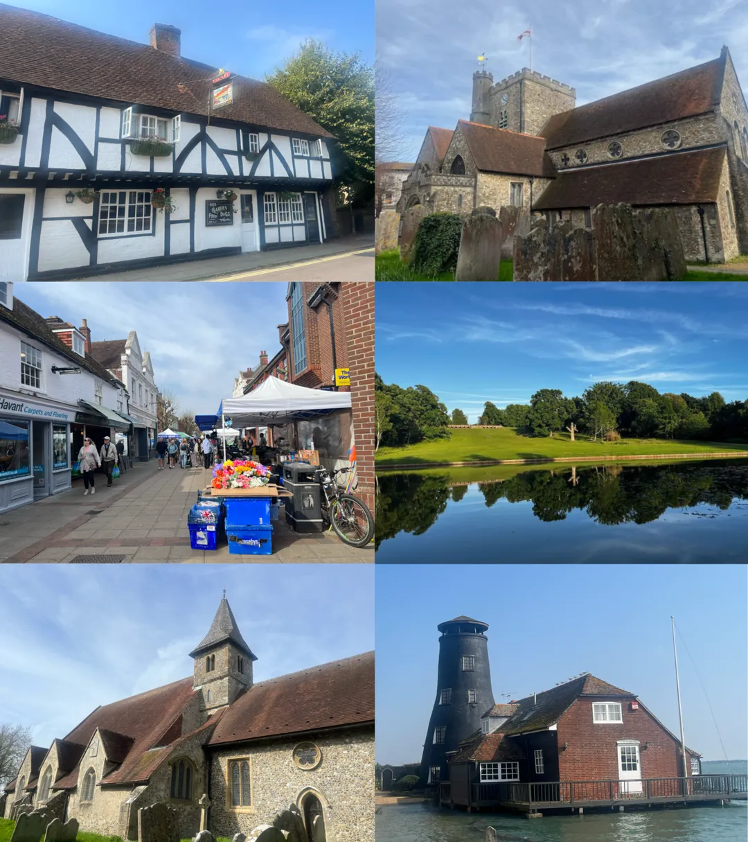
Havant ( HAV-ənt) is a town in the south-east corner of Hampshire, England. Nearby places include Portsmouth to the south-west, Southampton to the west, Waterlooville to north, Chichester to the east and Hayling Island to the south. The wider borough comprises the town (45,826), the resort of Hayling Island, the townRead more
of Waterlooville, and the town of Emsworth.
Housing and population more than doubled in the 20 years following World War II, a period of major conversion of land from agriculture and woodland to housing across the region following the incendiary bombing of Portsmouth and the Blitz.
The old centre of the town was a small Celtic settlement before Roman times and the town's commerce, retired and commuter population swelled after World War II so as to be usually considered economically part of the Portsmouth conurbation.
Compare prices across Booking.com, Airbnb, Expedia, and more. Select your dates to see availability.
Pick your must-haves once: provider links open pre-filtered. Each filter lists which sites it applies to.
Compare before you book!
Prices can vary significantly between platforms. We recommend checking at least 2-3 sites to find the best deal for your stay in Havant.
Discover famous landmarks, scenic roads, and more near Havant.
Havant offers many attractions including tourist sites, museums, parks, and local restaurants. Explore famous landmarks, scenic roads, and natural wonders on our interactive map and plan your visit.
Plan your road trip to Havant with Plan Your Road Trips! Add Havant as a destination, and we'll help you find the best route and discover more amazing places along the way.
Havant is located in England, United Kingdom, Europe. The coordinates are 50.8567 latitude, -0.9856 longitude.
Havant has a population of approximately 45,574 people, making it a town in United Kingdom.
Add to your itinerary
Start planning your road trip with Havant as a destination. Create a custom route and discover more amazing places along the way.
Start Road TripDiscover destinations like Tinder
Swipe through stunning destinations near Havant. Save your favourites and add them to your trip.
Essential numbers in United Kingdom
112 also works. NHS non-emergency medical advice: 111. National Highways breakdown assistance on motorways: 0300 123 5000.
Full driving guide for United Kingdom8 notable places within an hour's drive.
national park
Rolling chalk downland stretching from Winchester to the white cliffs of Beachy Head, England's newest national park.
16 km · about 20 min drive
racetrack
Historic circuit famous for the Revival and Festival of Speed, offering member track days on the original 1948 layout.
16 km · about 20 min drive
film location
The 1948 circuit used for period motorsport filming and the Goodwood Revival; the surrounding Sussex Downs lanes are excellent driving.
17 km · about 20 min drive
historic highway
The hillclimb course on the Goodwood estate driveway where Formula One cars, prewar Grand Prix machinery and rally legends run flat out past a country house each summer. The 1.16-mile course is estate road year-round.
18 km · about 20 min drive
cafe
A beloved biker cafe on the A32 in Hampshire that draws motorcyclists from across southern England with its welcoming atmosphere and hearty food.
20 km · about 25 min drive
cafe
The Hampshire outpost near the South Downs, 45 minutes from Goodwood and close to the National Motor Museum at Beaulieu.
20 km · about 25 min drive
castle
The restored Norman seat of the Dukes of Norfolk, dominating the Arun valley alongside a French Gothic cathedral.
30 km · about 35 min drive
landmark
A single Georgian street running down to the Beaulieu River, built as a shipbuilding village that supplied Nelson's navy.
31 km · about 35 min drive
April to October
Other places to explore near Havant.
Create your perfect itinerary with our calendar-based planner. Add stops, discover attractions along the way, and share your trip with friends.
Start Planning