landmark
Buckler’s Hard
A single Georgian street running down to the Beaulieu River, built as a shipbuilding village that supplied Nelson's navy.
18 km · about 20 min drive
England, United Kingdom · Europe
Fareham works well as a base: 10 minutes from Titchfield, 28km from Military Road, Isle of Wight.
Fareham is a town located in England, United Kingdom. With a population of 42,210, it is an important destination in Europe.
On a road trip, Fareham sits in United Kingdom, where you drive on the left. It's in the Europe/London time zone. Below you'll find where to stay, things to do nearby, and everything you need to add Fareham to your route.
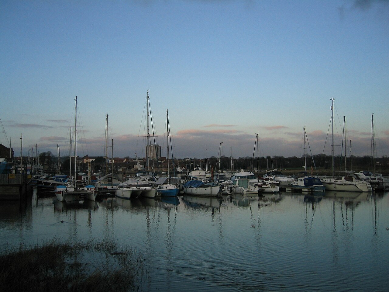
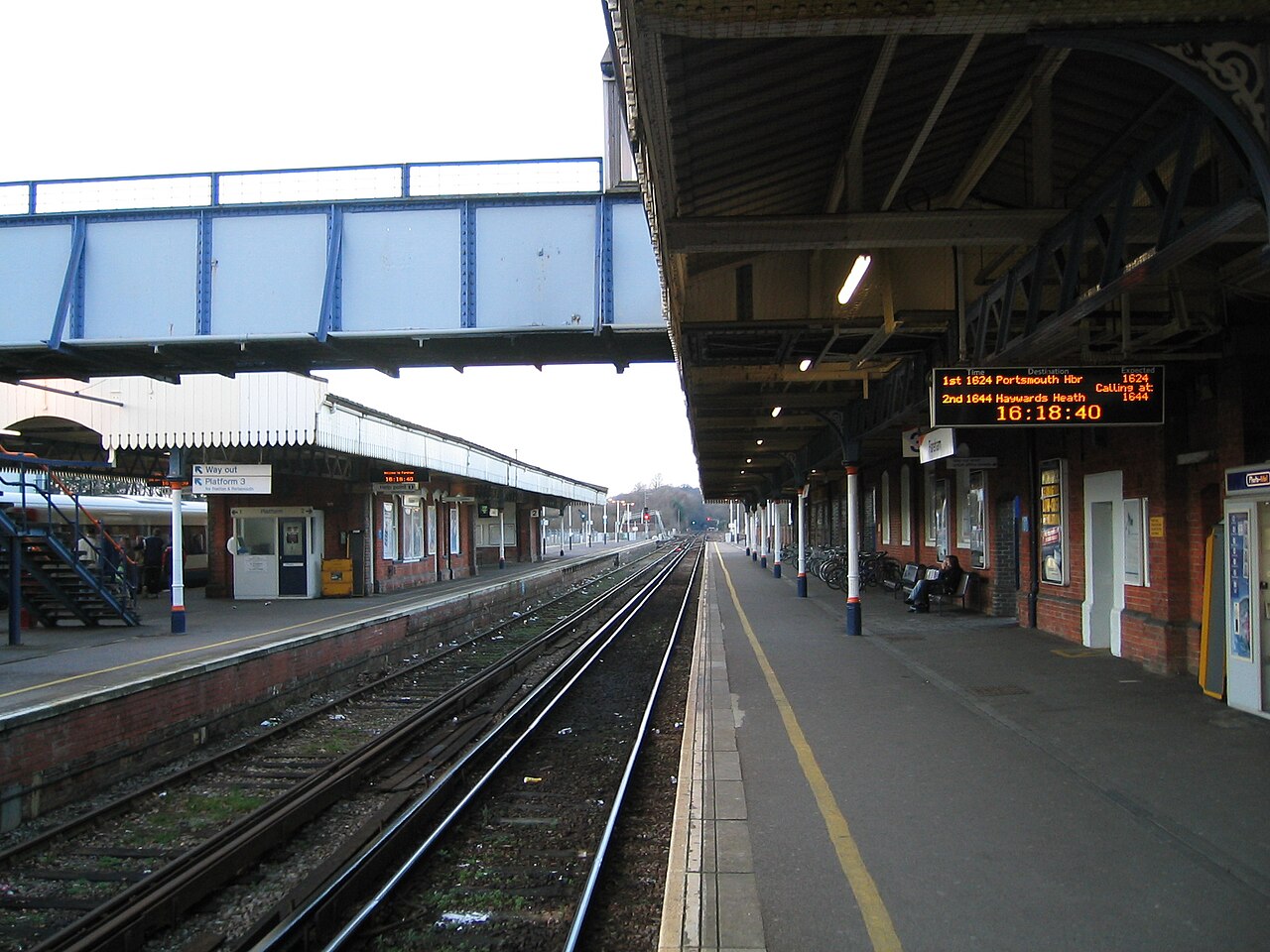
Fareham ( FAIR-əm) is a market town at the north-west tip of Portsmouth Harbour, between the cities of Portsmouth and Southampton in south east Hampshire, England. It gives its name to the Borough of Fareham. It was historically an important manufacturer of bricks, used to build the Royal Albert Hall, and grower ofRead more
strawberries and other seasonal fruits. At the 2021 census. Fareham had a population of 42,640
Compare prices across Booking.com, Airbnb, Expedia, and more. Select your dates to see availability.
Pick your must-haves once: provider links open pre-filtered. Each filter lists which sites it applies to.
Compare before you book!
Prices can vary significantly between platforms. We recommend checking at least 2-3 sites to find the best deal for your stay in Fareham.
Discover famous landmarks, scenic roads, and more near Fareham.
Fareham offers many attractions including tourist sites, museums, parks, and local restaurants. Explore famous landmarks, scenic roads, and natural wonders on our interactive map and plan your visit.
Plan your road trip to Fareham with Plan Your Road Trips! Add Fareham as a destination, and we'll help you find the best route and discover more amazing places along the way.
Fareham is located in England, United Kingdom, Europe. The coordinates are 50.8516 latitude, -1.1793 longitude.
Fareham has a population of approximately 42,210 people, making it a town in United Kingdom.
Add to your itinerary
Start planning your road trip with Fareham as a destination. Create a custom route and discover more amazing places along the way.
Start Road TripDiscover destinations like Tinder
Swipe through stunning destinations near Fareham. Save your favourites and add them to your trip.
Essential numbers in United Kingdom
112 also works. NHS non-emergency medical advice: 111. National Highways breakdown assistance on motorways: 0300 123 5000.
Full driving guide for United Kingdom8 notable places within an hour's drive.
landmark
A single Georgian street running down to the Beaulieu River, built as a shipbuilding village that supplied Nelson's navy.
18 km · about 20 min drive
museum
Set in the grounds of a historic abbey, it houses over 250 vehicles telling the story of motoring from 1893 to the present.
20 km · about 25 min drive
landmark
A New Forest village around a 13th-century abbey and the Montagu estate, at the head of the tidal Beaulieu River.
20 km · about 25 min drive
cafe
A beloved biker cafe on the A32 in Hampshire that draws motorcyclists from across southern England with its welcoming atmosphere and hearty food.
21 km · about 25 min drive
cafe
The Hampshire outpost near the South Downs, 45 minutes from Goodwood and close to the National Motor Museum at Beaulieu.
21 km · about 25 min drive
famous road
Thrilling clifftop road along the southwest coast of the Isle of Wight with sweeping sea views and access to dramatic landslip scenery.
28 km · about 30 min drive
national park
Ancient royal hunting ground where wild ponies and deer roam freely through 219 square miles of heathland, woodland and coastal marshes.
29 km · about 35 min drive
national park
Rolling chalk downland stretching from Winchester to the white cliffs of Beachy Head, England's newest national park.
29 km · about 35 min drive
April to October
Other places to explore near Fareham.
Create your perfect itinerary with our calendar-based planner. Add stops, discover attractions along the way, and share your trip with friends.
Start Planning