landmark
Intramuros (Manila)
The historic walled city of Manila built during the Spanish colonial period, containing Fort Santiago and San Agustin Church.
44 km · about 50 min drive
Central Luzon, Philippines · Asia
Balucuc sits on the route: 10 minutes from Apalit, 44km from Intramuros (Manila).
Balucuc is a town located in Central Luzon, Philippines. With a population of 9,214, it is an important destination in Asia.
On a road trip, Balucuc sits in Philippines, where you drive on the right. It's in the Asia/Manila time zone. Below you'll find where to stay, things to do nearby, and everything you need to add Balucuc to your route.
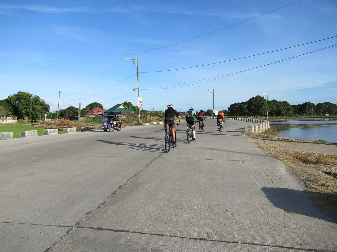
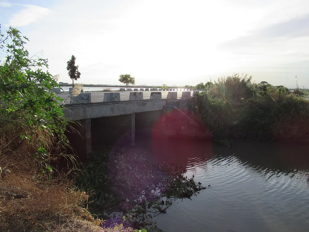
The Candaba Viaduct, also known as the Pulilan–Apalit Bridge and the Candaba Pampanga Viaduct, is a 5-kilometer (3.1 mi) viaduct carrying the North Luzon Expressway (NLEX) across the Candaba Swamp in the provinces of Pampanga and Bulacan, Philippines. It consists of nine lanes, with three northbound and sixRead more
southbound. Upon its opening in 1977, it was the longest bridge in the Philippines, a distinction it held until 2021, when it was surpassed by the 8.9-kilometer (5.5 mi) Cebu–Cordova Link Expressway (CCLEX). It is currently the second-longest bridge in the country. The viaduct was designed by Aas-Jakobsen and built by Construction Development Corporation of the Philippines (CDCP) as part of the construction of the NLEX.
The viaduct is elevated approximately 20 feet (6.1 m) above the Candaba Swamp and Pampanga River, allowing the NLEX to remain open to traffic when the swamp floods during the rainy or monsoon season. Its elevation is approximately the same as the current elevation of Bacolor, Pampanga, which was raised by lahar deposits following the 1991 eruption of Mount Pinatubo between 1991 and 1995.
The viaduct is equipped with lighting, emergency callboxes, and CCTVs powered by solar panels, as installing power lines along the viaduct is difficult.
Compare prices across Booking.com, Airbnb, Expedia, and more. Select your dates to see availability.
Pick your must-haves once: provider links open pre-filtered. Each filter lists which sites it applies to.
Compare before you book!
Prices can vary significantly between platforms. We recommend checking at least 2-3 sites to find the best deal for your stay in Balucuc.
Discover famous landmarks, scenic roads, and more near Balucuc.
Balucuc offers many attractions including tourist sites, museums, parks, and local restaurants. Explore famous landmarks, scenic roads, and natural wonders on our interactive map and plan your visit.
Plan your road trip to Balucuc with Plan Your Road Trips! Add Balucuc as a destination, and we'll help you find the best route and discover more amazing places along the way.
Balucuc is located in Central Luzon, Philippines, Asia. The coordinates are 14.9528 latitude, 120.8145 longitude.
Balucuc has a population of approximately 9,214 people, making it a town in Philippines.
Add to your itinerary
Start planning your road trip with Balucuc as a destination. Create a custom route and discover more amazing places along the way.
Start Road TripDiscover destinations like Tinder
Swipe through stunning destinations near Balucuc. Save your favourites and add them to your trip.
2 notable places within an hour's drive.
landmark
The historic walled city of Manila built during the Spanish colonial period, containing Fort Santiago and San Agustin Church.
44 km · about 50 min drive
museum
Houses the Philippines' most important cultural treasures including the Spoliarium and pre-colonial gold artifacts.
45 km · about 50 min drive
Year-round
Tropical latitude: plan around the wet season rather than temperature.
Other places to explore near Balucuc.
Create your perfect itinerary with our calendar-based planner. Add stops, discover attractions along the way, and share your trip with friends.
Start Planning