

racetrack
Pembrey Circuit
Wales's national motorsport centre on the Carmarthenshire coast, a fast former-airfield circuit once used by F1 teams including McLaren and Williams for secret testing.
6 km · about 10 min drive
Wales, United Kingdom · Europe
Trimsaran works well as a base: 5 minutes from Pontyates, 18km from Worm's Head, Rhossili.
Trimsaran is a town located in Wales, United Kingdom. With a population of 1,584, it is an important destination in Europe.
On a road trip, Trimsaran sits in United Kingdom, where you drive on the left. It's in the Europe/London time zone. Below you'll find where to stay, things to do nearby, and everything you need to add Trimsaran to your route.
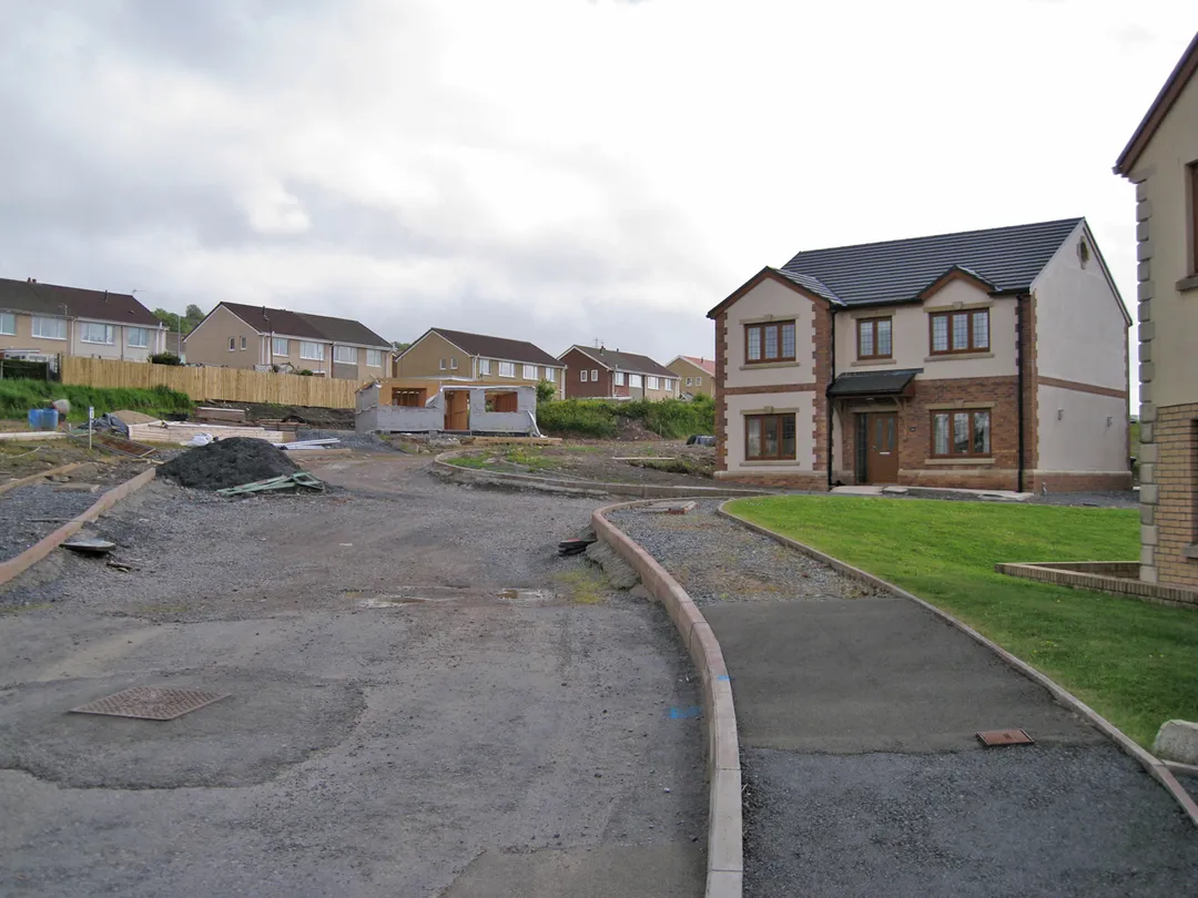
Trimsaran is a community and former mining village which lies on the B4308 between Llanelli and Kidwelly, in Carmarthenshire, Wales.
Trimsaran is six miles (10 km) from Llanelli, and 13 miles (21 km) from Carmarthen. It is close to Burry Port harbour, Pembrey Country Park and the Millennium Coastal Park.
The communityRead more
is bordered by the communities of: Llangyndeyrn; Llanelli Rural; Pembrey and Burry Port Town; and Kidwelly, all being in Carmarthenshire.
Between 1909 and 1953 Trimsaran Road railway station on what had been the Burry Port and Gwendraeth Valley Railway, served the miners and the residents of the village and locality.
Compare prices across Booking.com, Airbnb, Expedia, and more. Select your dates to see availability.
Pick your must-haves once: provider links open pre-filtered. Each filter lists which sites it applies to.
Compare before you book!
Prices can vary significantly between platforms. We recommend checking at least 2-3 sites to find the best deal for your stay in Trimsaran.
Discover famous landmarks, scenic roads, and more near Trimsaran.
Trimsaran offers many attractions including tourist sites, museums, parks, and local restaurants. Explore famous landmarks, scenic roads, and natural wonders on our interactive map and plan your visit.
Plan your road trip to Trimsaran with Plan Your Road Trips! Add Trimsaran as a destination, and we'll help you find the best route and discover more amazing places along the way.
Trimsaran is located in Wales, United Kingdom, Europe. The coordinates are 51.7199 latitude, -4.2417 longitude.
Trimsaran has a population of approximately 1,584 people, making it a town in United Kingdom.
Add to your itinerary
Start planning your road trip with Trimsaran as a destination. Create a custom route and discover more amazing places along the way.
Start Road TripDiscover destinations like Tinder
Swipe through stunning destinations near Trimsaran. Save your favourites and add them to your trip.
Essential numbers in United Kingdom
112 also works. NHS non-emergency medical advice: 111. National Highways breakdown assistance on motorways: 0300 123 5000.
Full driving guide for United Kingdom8 notable places within an hour's drive.
racetrack
Wales's national motorsport centre on the Carmarthenshire coast, a fast former-airfield circuit once used by F1 teams including McLaren and Williams for secret testing.
6 km · about 10 min drive
beach
A sweeping three-mile beach on the Gower Peninsula with dramatic cliff views, Worm's Head promontory, and powerful surf.
17 km · about 20 min drive
natural wonder
A serpentine tidal island at the tip of Gower, crossable over a rock causeway for about two and a half hours either side of low tide.
18 km · about 20 min drive
beach
Triple limestone peaks guard a sweep of sand where Pennard Pill meanders to the sea on the Gower: repeatedly voted among Britain's best beaches yet reached only on foot past a ruined castle. View from Pennard cliffs is the classic.
19 km · about 20 min drive
famous road
Top Gear's favourite British road, a smooth, empty ribbon of hairpins and open bends over the western Brecon Beacons between Llangadog and Brynamman.
31 km · about 35 min drive
beach
Charming walled seaside town with pastel-coloured Georgian houses, three sandy beaches and a medieval town wall.
32 km · about 35 min drive
waterfall
An 24m fall in the Neath Valley painted by Turner in 1795, reached by a short riverside path.
37 km · about 45 min drive
natural wonder
A glacial corrie lake under the escarpment of the Black Mountain, home to the legend of the Lady of the Lake and the Physicians of Myddfai.
39 km · about 45 min drive
9 named roads, passes and coastal drives within 100km.
April to October
Other places to explore near Trimsaran.
Create your perfect itinerary with our calendar-based planner. Add stops, discover attractions along the way, and share your trip with friends.
Start Planning