landmark
Zürich Zoo
Progressive Swiss zoo known for its Masoala Rainforest hall, a massive indoor tropical ecosystem.
15 km · about 30 min drive
Zurich, Switzerland · Europe
Töss (Kreis 4) / Schlosstal is worth a stop: 22km from Rhine Falls.
Töss (Kreis 4) / Schlosstal is a town located in Zurich, Switzerland. With a population of 8,672, it is an important destination in Europe.
On a road trip, Töss (Kreis 4) / Schlosstal sits in Switzerland, where you drive on the right. It's in the Europe/Zurich time zone. Below you'll find where to stay, things to do nearby, and everything you need to add Töss (Kreis 4) / Schlosstal to your route.
Töss Monastery was a community of Dominican nuns located in the former Swiss city of Töss, now a part of Winterthur. Nothing of the original buildings exists today.
Construction of the monastery began in 1233, near the bridge at the Töss River by command of Count Hartmann IV of Kyburg. In December of the same year,Read more
the monastery was confirmed by Bishop Heinrich von Tanne of Constance. In 1235 Pope Gregory IX placed it under the authority of the Predigerkloster in Zürich. Initially the nuns followed the Rule of St. Augustine but in 1245 it became a Dominican monastery. Over the following centuries, the monastery grew until it owned properties or incomes in about 130 communities around the Canton of Zürich. It was originally part of the Kyburg Herrschaft until 1264. It then passed to the Habsburgs until 1424, when the city of Zürich took over. Zürich held the monastery for less than two decades before it passed back to the Habsburgs in 1442. Finally, in 1452, the monastery returned to Zürich.
The monastery residence hall was begun in 1238 and finished in 1271. The monastery church was dedicated in 1240 by the Bishop of Constance. A new main altar and two side altars were dedicated in 1325, probably after the church was enlarged. The cloister was expanded and decorated with murals between 1468 and 1491. The 15th-century paintings were redone in 1613 and were copied in 1851 before it was demolished.
In the 14th century there were around 100 nuns at Töss. The Swiss mystic Elsbeth Stagel and the Blessed Elizabeth of Hungary, the last member of the House of Árpád, were both nuns of the monastery. Stagel was the prioress of Töss and may have written parts of the Lives of the Nuns of Töss, a sister-book containing biographies of 39 nuns and providing a comprehensive picture of mysticism at Töss.
This monastic community had a significant influence on Zurich during the Middle Ages but the influence diminished after the start of the Protestant Reformation in Switzerland about 1520. The monastery was closed soon thereafter, and the complex deteriorated as the centuries passed. The monastery's estates were nationalized and used to support the needy in the Canton and after 1606 a local school.
After the French Revolution, there were not sufficient resources to conserve the complex and the site was sold to Johan Jacob Rieter, who started Rieter Textile there. The former monastery church was demolished at the beginning of the 20th century.
Compare prices across Booking.com, Airbnb, Expedia, and more. Select your dates to see availability.
Pick your must-haves once: provider links open pre-filtered. Each filter lists which sites it applies to.
Compare before you book!
Prices can vary significantly between platforms. We recommend checking at least 2-3 sites to find the best deal for your stay in Töss (Kreis 4) / Schlosstal.
Discover famous landmarks, scenic roads, and more near Töss (Kreis 4) / Schlosstal.
Töss (Kreis 4) / Schlosstal offers many attractions including tourist sites, museums, parks, and local restaurants. Explore famous landmarks, scenic roads, and natural wonders on our interactive map and plan your visit.
Plan your road trip to Töss (Kreis 4) / Schlosstal with Plan Your Road Trips! Add Töss (Kreis 4) / Schlosstal as a destination, and we'll help you find the best route and discover more amazing places along the way.
Töss (Kreis 4) / Schlosstal is located in Zurich, Switzerland, Europe. The coordinates are 47.4928 latitude, 8.7022 longitude.
Töss (Kreis 4) / Schlosstal has a population of approximately 8,672 people, making it a town in Switzerland.
Add to your itinerary
Start planning your road trip with Töss (Kreis 4) / Schlosstal as a destination. Create a custom route and discover more amazing places along the way.
Start Road TripDiscover destinations like Tinder
Swipe through stunning destinations near Töss (Kreis 4) / Schlosstal. Save your favourites and add them to your trip.
Essential numbers in Switzerland
Motorway vignette (toll sticker) required: buy at the border or online. Roadside assistance (TCS): 140.
Full driving guide for Switzerland8 notable places within an hour's drive.
landmark
Progressive Swiss zoo known for its Masoala Rainforest hall, a massive indoor tropical ecosystem.
15 km · about 30 min drive
landmark
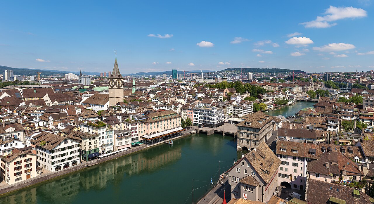
Switzerland's largest city blending a medieval old town with trendy districts, all set along the Limmat River and the shores of Lake Zürich.
18 km · about 20 min drive
waterfall
Europe's largest plain waterfall, spanning 150 meters wide and 23 meters high near the town of Schaffhausen.
22 km · about 25 min drive
mountain pass
A low, year-round pass between the Sihl valley and Einsiedeln, a useful and pretty link rather than a challenge.
42 km · about 50 min drive
landmark
A Mediterranean flower island on Lake Constance bursts with palms, butterfly house and a baroque palace garden.
44 km · about 50 min drive
castle
Germany's oldest inhabited castle overlooks Lake Constance from a vineyard terrace in a charming medieval old town.
48 km · about 55 min drive
scenic viewpoint
The 'Queen of the Mountains' above Lake Lucerne, site of Europe's first mountain railway and offering sunrise panoramas over the Alps.
51 km · about 60 min drive
museum
Racing driver Fredy Lienhard's supercar and motorsport collection in a former Romanshorn industrial plant on Lake Constance: Ferraris, Le Mans prototypes and Indy cars.
51 km · about 60 min drive
April to October
Other places to explore near Töss (Kreis 4) / Schlosstal.
Create your perfect itinerary with our calendar-based planner. Add stops, discover attractions along the way, and share your trip with friends.
Start Planning