
mountain pass
Dochula Pass
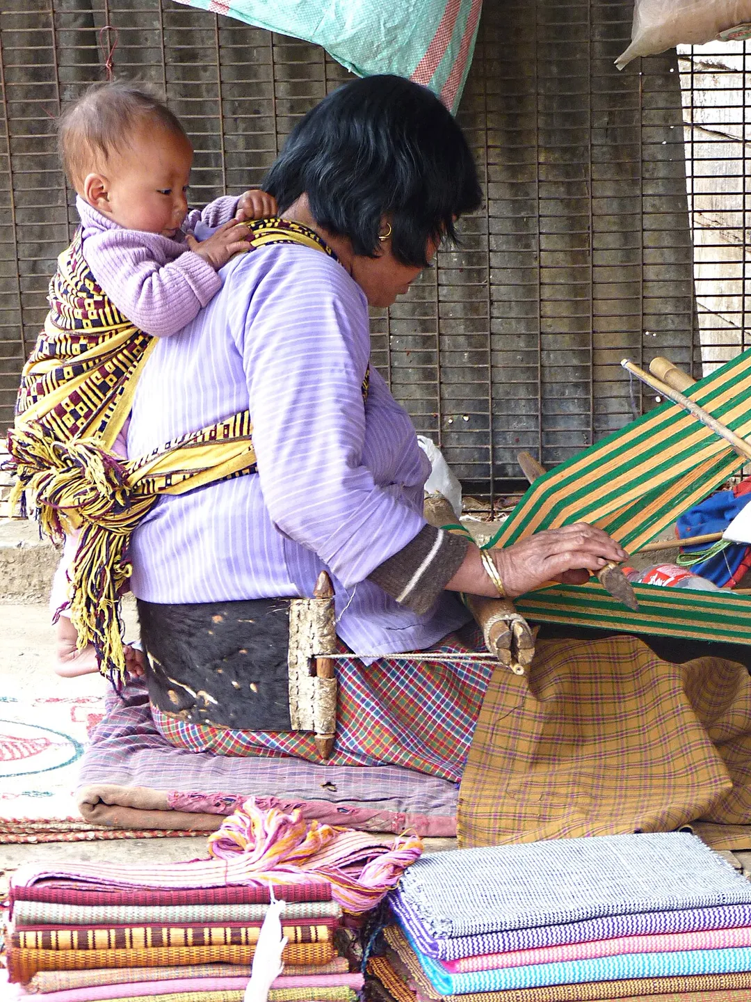
A 3,100 m pass on the Thimphu-Punakha road crowned by 108 memorial chortens. On clear days the roadside terrace unveils a panorama of Bhutan's snowcapped eastern Himalaya.
10 km · about 20 min drive
Thimphu District, Bhutan · Asia
Thimphu works well as a base: 25 minutes from Paro, 49km from Phobjikha Valley.
Thimphu is a town located in Thimphu District, Bhutan. With a population of 98,676, it is an important destination in Asia.
On a road trip, Thimphu sits in Bhutan. It's in the Asia/Thimphu time zone. Below you'll find where to stay, things to do nearby, and everything you need to add Thimphu to your route.
Thimphu ( tim-POOH; Dzongkha: ཐིམ་ཕུག་ [tʰim˥.pʰu˥]) is the capital and largest city of Bhutan. It is situated in the western central part of Bhutan, and the surrounding valley is one of Bhutan's dzongkhags, the Thimphu District. The ancient capital city of Punakha was replaced by Thimphu as the capital in 1955, andRead more
in 1961 Thimphu was officially declared the capital of the Kingdom of Bhutan by the 3rd Druk Gyalpo Jigme Dorji Wangchuck.
The city extends in a north–south direction on the west bank of the valley formed by the Wang Chhu, which flows out into India as the Raidāk River. Thimphu is the fifth highest capital in the world by altitude and the highest capital in Asia, ranging from 2,248 metres (7,375 feet) to 2,648 metres (8,688 feet). Unlike many capitals, Thimphu does not have its own airport, instead relying on the Paro Airport, accessible by road 52 kilometres (32 miles) away.
Thimphu, as the political and economic center of Bhutan, has a dominant agriculture and livestock base, contributing to about 45% of the country's GNP. Tourism, though a contributor to the economy, is strictly regulated, maintaining a balance between tradition, development, and modernization. Thimphu contains most of the important political buildings in Bhutan, including the National Assembly of the parliamentary democracy and Dechencholing Palace, the official residence of the King, located to the north of the city. The city’s development is guided by the "Thimphu Structure Plan, 2002–2027", an urban plan aimed at protecting the fragile ecology of the valley. Some development has been supported by the World Bank and Asian Development Bank.
The culture of Bhutan is reflected fully in Thimphu, through literature, religion, customs, national dress code, monastic practices, music, dance, and media. The annual Tshechu festival, held in September or October according to the Bhutanese calendar, is a major event featuring mask dances known as Cham dances, performed in the courtyards of the Tashichho Dzong.
Compare prices across Booking.com, Airbnb, Expedia, and more. Select your dates to see availability.
Pick your must-haves once: provider links open pre-filtered. Each filter lists which sites it applies to.
Compare before you book!
Prices can vary significantly between platforms. We recommend checking at least 2-3 sites to find the best deal for your stay in Thimphu.
Discover famous landmarks, scenic roads, and more near Thimphu.
Thimphu offers many attractions including tourist sites, museums, parks, and local restaurants. Explore famous landmarks, scenic roads, and natural wonders on our interactive map and plan your visit.
Plan your road trip to Thimphu with Plan Your Road Trips! Add Thimphu as a destination, and we'll help you find the best route and discover more amazing places along the way.
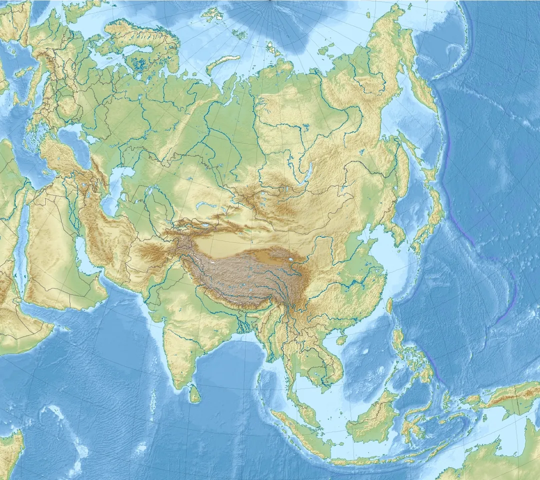
Thimphu is located in Thimphu District, Bhutan, Asia. The coordinates are 27.4661 latitude, 89.6419 longitude.
Thimphu has a population of approximately 98,676 people, making it a town in Bhutan.
Add to your itinerary
Start planning your road trip with Thimphu as a destination. Create a custom route and discover more amazing places along the way.
Start Road TripDiscover destinations like Tinder
Swipe through stunning destinations near Thimphu. Save your favourites and add them to your trip.
6 notable places within an hour's drive.
mountain pass
A 3,100 m pass on the Thimphu-Punakha road crowned by 108 memorial chortens. On clear days the roadside terrace unveils a panorama of Bhutan's snowcapped eastern Himalaya.
10 km · about 20 min drive
castle
Bhutan's most beautiful fortress-monastery at the confluence of two rivers, the winter capital of the country's monastic body.
25 km · about 30 min drive
landmark
A sacred Buddhist monastery clinging to a sheer cliff face 900 meters above the Paro Valley floor.
28 km · about 30 min drive
scenic viewpoint
A viewpoint on the trail to Paro Taktsang, looking across a forested gorge at the monastery clinging impossibly to a 3,000-foot cliff face.
28 km · about 30 min drive
mountain pass
Bhutan's highest motorable road at 3,988 m, a narrow asphalt climb through hemlock and rhododendron forest between the Paro and Haa valleys, with prayer flags in their thousands at the top.
31 km · about 35 min drive
national park
A wide U-shaped glacial valley at around 3,000 m where several hundred black-necked cranes winter from late October to March, circling Gangteng Monastery on arrival and departure.
49 km · about 55 min drive
Other places to explore near Thimphu.
Create your perfect itinerary with our calendar-based planner. Add stops, discover attractions along the way, and share your trip with friends.
Start Planning