waterfall
Sucha Bela Gorge
A thrilling Slovak Paradise canyon ascended via metal ladders and bridges beside cascading water.
28 km · about 30 min drive
Prešov Region, Slovakia · Europe
Spišské Podhradie is worth a stop: 5 minutes from Žehra, 30km from Slovak Paradise National Park.
Spišské Podhradie is a town located in Prešov Region, Slovakia. With a population of 3,769, it is an important destination in Europe.
On a road trip, Spišské Podhradie sits in Slovakia, where you drive on the right. It's in the Europe/Bratislava time zone. Below you'll find where to stay, things to do nearby, and everything you need to add Spišské Podhradie to your route.
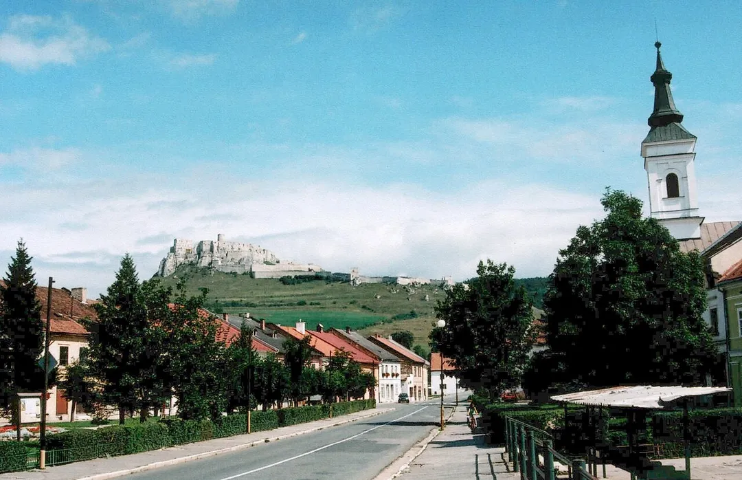
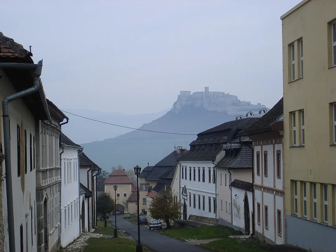
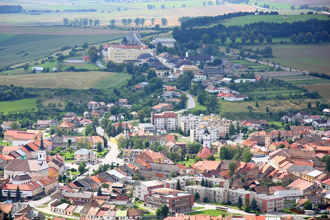
Spišské Podhradie (; German: Kirchdrauf, Hungarian: Szepesváralja) is a town in Spiš in the Prešov Region of Slovakia. Its population is 3,775.
Spišské Podhradie is situated at the foot of the hill of Spiš Castle. It had a Zipser German settlement, with its own church and priest, in 1174. Just above, and adjacent to,Read more
the town is the ecclesiastical settlement of Spišská Kapitula (hence an old German name Kirchdorf, meaning "church town"). The town contains a number of Renaissance merchants' houses. It also has one of the few remaining synagogue buildings (now disused) in the region. The Sivá Brada cold water spring is located nearby.
Compare prices across Booking.com, Airbnb, Expedia, and more. Select your dates to see availability.
Pick your must-haves once: provider links open pre-filtered. Each filter lists which sites it applies to.
Compare before you book!
Prices can vary significantly between platforms. We recommend checking at least 2-3 sites to find the best deal for your stay in Spišské Podhradie.
Discover famous landmarks, scenic roads, and more near Spišské Podhradie.
Spišské Podhradie offers many attractions including tourist sites, museums, parks, and local restaurants. Explore famous landmarks, scenic roads, and natural wonders on our interactive map and plan your visit.
Plan your road trip to Spišské Podhradie with Plan Your Road Trips! Add Spišské Podhradie as a destination, and we'll help you find the best route and discover more amazing places along the way.
Spišské Podhradie is located in Prešov Region, Slovakia, Europe. The coordinates are 49.0009 latitude, 20.7531 longitude.
Spišské Podhradie has a population of approximately 3,769 people, making it a town in Slovakia.
Add to your itinerary
Start planning your road trip with Spišské Podhradie as a destination. Create a custom route and discover more amazing places along the way.
Start Road TripDiscover destinations like Tinder
Swipe through stunning destinations near Spišské Podhradie. Save your favourites and add them to your trip.
Essential numbers in Slovakia
Motorway vignette required. Zero alcohol limit for drivers.
Full driving guide for Slovakia8 notable places within an hour's drive.
waterfall
A thrilling Slovak Paradise canyon ascended via metal ladders and bridges beside cascading water.
28 km · about 30 min drive
national park
An adventure-filled national park laced with narrow gorges, waterfalls, and thrilling iron ladder and chain hiking routes.
30 km · about 35 min drive
natural wonder
One of the world's great ice caves, UNESCO-listed, with ice up to 26.5 m thick filling a mountain cavern in the Slovak Paradise: a frozen underground floor you walk across even in high summer. Short forest walk up from the road.
36 km · about 40 min drive
famous road
The scenic Route 537 traverses the foot of the High Tatras from Podbanske to Tatranska Kotlina, stringing together mountain resorts with near-constant views of Slovakia's highest peaks.
42 km · about 50 min drive
photogenic
A nine-arched stone railway viaduct of 1931 curving across a meadow above Telgárt, where the line loops over itself to gain height: Slovakia's most photographed piece of railway engineering, at its best in morning mist or under snow.
43 km · about 50 min drive
scenic viewpoint
Second-highest peak in the High Tatras at 2634 metres, reached by cable car from Tatranska Lomnica and topped by an observatory.
45 km · about 50 min drive
cathedral
Largest church in Slovakia and the easternmost Gothic cathedral in Europe, standing on the main axis of Kosice old town.
48 km · about 55 min drive
national park
The smallest alpine mountain range in the world, offering dramatic peaks, glacial lakes, and excellent hiking in a compact area.
49 km · about 55 min drive
April to October
Other places to explore near Spišské Podhradie.
Create your perfect itinerary with our calendar-based planner. Add stops, discover attractions along the way, and share your trip with friends.
Start Planning