

landmark
Bodnant Garden
One of the finest gardens in the UK, famous for its spectacular laburnum arch in late spring and terraced gardens above the Conwy Valley.
22 km · about 25 min drive
Wales, United Kingdom · Europe
Rhyl works well as a base: 10 minutes from Dyserth, 26km from Llyn Brenig.
Rhyl is a town located in Wales, United Kingdom. With a population of 25,874, it is an important destination in Europe.
On a road trip, Rhyl sits in United Kingdom, where you drive on the left. It's in the Europe/London time zone. Below you'll find where to stay, things to do nearby, and everything you need to add Rhyl to your route.
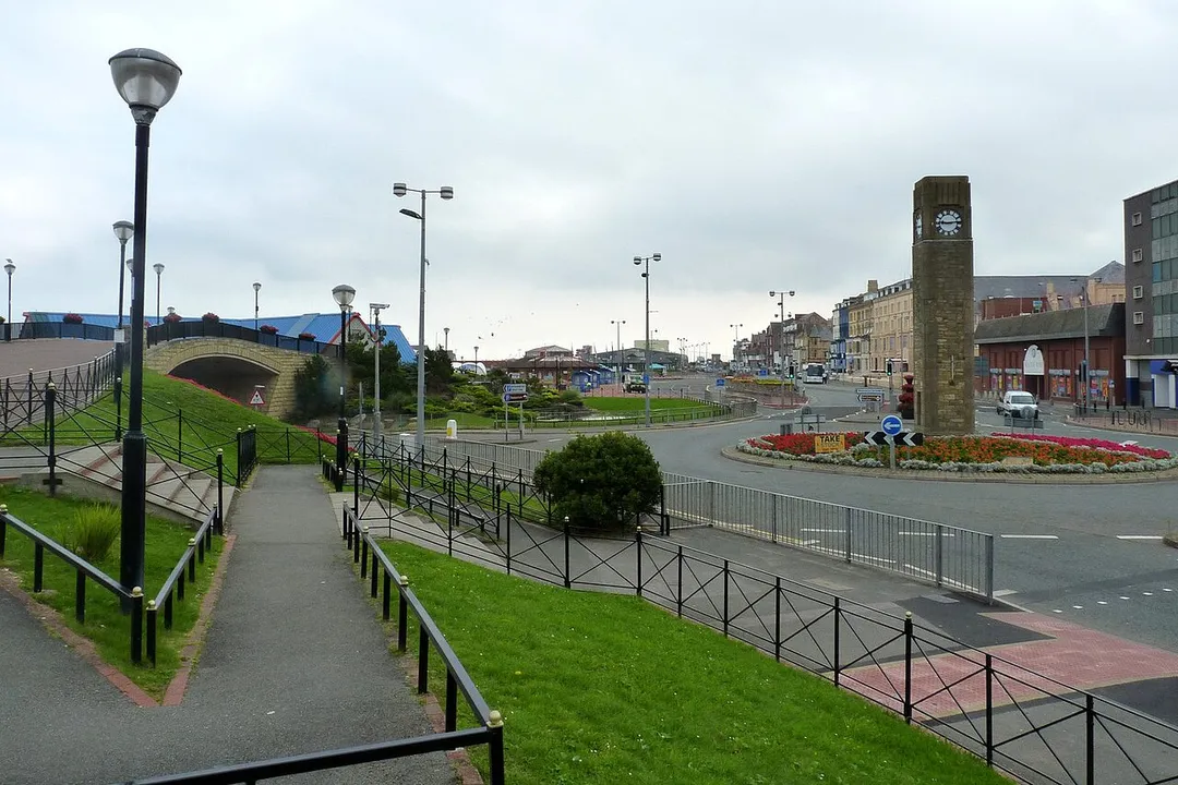
Rhyl ( ; Welsh: Y Rhyl, pronounced [ə ˈr̥ɨl]) is a seaside town and community in Denbighshire in Wales. The town lies on the north coast of Wales, at the mouth of the River Clwyd.
To the west is Kinmel Bay and Towyn, to the east Prestatyn, and to the south-east Rhuddlan and St Asaph.
At the 2021 Census, Rhyl had aRead more
population of 27,325. Rhyl forms a conurbation with Prestatyn and its two outlying villages, the Rhyl/Prestatyn Built-up area, whose 2021 population of 45,250 makes it North Wales's most populous non-city. Adding to that the adjoining town of Kinmel Bay it is around 50,000.
Rhyl was once an elegant Victorian resort town, but suffered rapid decline around the 1990s and 2000s; attempts have been made to reverse this through county investment, equal to around £15 million from Denbighshire County, however, the outcomes have been perceived with varying levels of success.
Prior to being in Denbighshire since 1996, it was in the Clwyd district of Rhuddlan, and before that the historic county of Flintshire.
Compare prices across Booking.com, Airbnb, Expedia, and more. Select your dates to see availability.
Pick your must-haves once: provider links open pre-filtered. Each filter lists which sites it applies to.
Compare before you book!
Prices can vary significantly between platforms. We recommend checking at least 2-3 sites to find the best deal for your stay in Rhyl.
Discover famous landmarks, scenic roads, and more near Rhyl.
Rhyl offers many attractions including tourist sites, museums, parks, and local restaurants. Explore famous landmarks, scenic roads, and natural wonders on our interactive map and plan your visit.
Plan your road trip to Rhyl with Plan Your Road Trips! Add Rhyl as a destination, and we'll help you find the best route and discover more amazing places along the way.
Rhyl is located in Wales, United Kingdom, Europe. The coordinates are 53.3193 latitude, -3.4923 longitude.
Rhyl has a population of approximately 25,874 people, making it a town in United Kingdom.
Add to your itinerary
Start planning your road trip with Rhyl as a destination. Create a custom route and discover more amazing places along the way.
Start Road TripDiscover destinations like Tinder
Swipe through stunning destinations near Rhyl. Save your favourites and add them to your trip.
Essential numbers in United Kingdom
112 also works. NHS non-emergency medical advice: 111. National Highways breakdown assistance on motorways: 0300 123 5000.
Full driving guide for United Kingdom8 notable places within an hour's drive.
landmark
One of the finest gardens in the UK, famous for its spectacular laburnum arch in late spring and terraced gardens above the Conwy Valley.
22 km · about 25 min drive
castle
A medieval fortification built by Edward I during his conquest of Wales, recognized as a UNESCO World Heritage Site.
23 km · about 25 min drive
coastal drive
One-way Victorian toll road looping 4 miles around the cliffs of the Great Orme headland at Llandudno, with sheer limestone drops, seabirds and views to Anglesey and the Irish Sea.
25 km · about 30 min drive
natural wonder
A large reservoir on the Denbigh Moors beside the Evo Triangle roads, with a 10-mile shore trail, Bronze Age sites and big open skies.
26 km · about 30 min drive
famous road
Legendary 20-mile loop of the A5, A543 and B4501 across the empty Denbigh Moors, made famous as evo magazine's road-test circuit. Fast, open sightlines past Llyn Brenig make it a pilgrimage for keen drivers.
29 km · about 35 min drive
natural wonder
A quiet moorland reservoir next to Llyn Brenig on the Denbigh Moors, a peaceful stop on the Evo Triangle circuit.
30 km · about 35 min drive
natural wonder
A lake above the Conwy Valley in the Gwydir Forest, the only Snowdonia lake permitting powered watersports, with a monument to the poet Taliesin.
32 km · about 35 min drive
natural wonder
A Carneddau reservoir whose dam failed catastrophically in 1925, flooding Dolgarrog; the breach is still visible.
32 km · about 35 min drive
10 named roads, passes and coastal drives within 60km.
April to October
Other places to explore near Rhyl.
Create your perfect itinerary with our calendar-based planner. Add stops, discover attractions along the way, and share your trip with friends.
Start Planning