

natural wonder
Dovedale
A limestone valley of caves and pinnacles crossed by famous stepping stones over the crystal River Dove.
6 km · about 10 min drive
England, United Kingdom · Europe
Mayfield works well as a base: 20 minutes from Doveridge, 6km from Dovedale.
Mayfield is a town located in England, United Kingdom. With a population of 1,125, it is an important destination in Europe.
On a road trip, Mayfield sits in United Kingdom, where you drive on the left. It's in the Europe/London time zone. Below you'll find where to stay, things to do nearby, and everything you need to add Mayfield to your route.
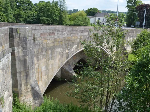
The Henmore Brook or the River Henmore is a tributary of the River Dove in Derbyshire, England, and is 20 km (12 miles) in length.
In its upper reaches it is known as the Scow brook, much of which was inundated by the Carsington Water reservoir in 1991. It becomes the Henmore brook in the middle reaches, where thereRead more
are three tributaries called the Parkside, Kniveton and Dayfield brooks.
The brook drains a catchment of mixed geology, which has an area of 46 square kilometres (18 square miles). It flows through the market town of Ashbourne, where flooding of the town centre by the brook has historically caused significant damage. The brook is designated as a Main river by the Environment Agency from the outflow at Carsington Water to the confluence with the River Dove.
Compare prices across Booking.com, Airbnb, Expedia, and more. Select your dates to see availability.
Pick your must-haves once: provider links open pre-filtered. Each filter lists which sites it applies to.
Compare before you book!
Prices can vary significantly between platforms. We recommend checking at least 2-3 sites to find the best deal for your stay in Mayfield.
Discover famous landmarks, scenic roads, and more near Mayfield.
Mayfield offers many attractions including tourist sites, museums, parks, and local restaurants. Explore famous landmarks, scenic roads, and natural wonders on our interactive map and plan your visit.
Plan your road trip to Mayfield with Plan Your Road Trips! Add Mayfield as a destination, and we'll help you find the best route and discover more amazing places along the way.
Mayfield is located in England, United Kingdom, Europe. The coordinates are 53.0000 latitude, -1.7667 longitude.
Mayfield has a population of approximately 1,125 people, making it a town in United Kingdom.
Add to your itinerary
Start planning your road trip with Mayfield as a destination. Create a custom route and discover more amazing places along the way.
Start Road TripDiscover destinations like Tinder
Swipe through stunning destinations near Mayfield. Save your favourites and add them to your trip.
Essential numbers in United Kingdom
112 also works. NHS non-emergency medical advice: 111. National Highways breakdown assistance on motorways: 0300 123 5000.
Full driving guide for United Kingdom8 notable places within an hour's drive.
natural wonder
A limestone valley of caves and pinnacles crossed by famous stepping stones over the crystal River Dove.
6 km · about 10 min drive
natural wonder
A limestone ravine of caves, spires and the famous stepping stones across the River Dove.
6 km · about 10 min drive
landmark
Major British theme park set in the grounds of a historic estate in Staffordshire with record-breaking coasters.
8 km · about 15 min drive
natural wonder
Vast natural cavern with a 10m symmetrical arched mouth gaping from a limestone crag 80m above the Manifold Valley. The scramble up is short and the view through the arch is one of the Peak District's best.
12 km · about 20 min drive
landmark
The entire riverside parade at Matlock Bath transforms into the UK's most famous bike meet every sunny weekend.
19 km · about 20 min drive
museum
Interactive museum in Ambergate telling the story of the British car industry through 130+ vehicles, from Austin 7 to Aston Martin: many of which you can actually drive on site.
20 km · about 25 min drive
natural wonder
A limestone dale carrying one of England's purest rivers, which vanishes underground in dry summers; a national nature reserve.
21 km · about 25 min drive
castle
A remarkably unaltered fortified medieval manor house on the Wye near Bakewell, much used as a film location.
23 km · about 25 min drive
8 named roads, passes and coastal drives within 60km.
April to October
Other places to explore near Mayfield.
Create your perfect itinerary with our calendar-based planner. Add stops, discover attractions along the way, and share your trip with friends.
Start Planning