cafe
Tan Hill Inn
Britain's highest pub at 1,732 feet in the Yorkshire Dales, a remote and atmospheric destination for drivers and walkers braving the wild moorland roads.
16 km · about 20 min drive
England, United Kingdom · Europe
Lartington works well as a base: 5 minutes from Barnard Castle, 20km from Swaledale.
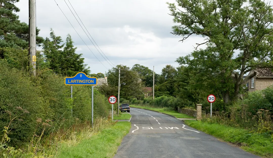
Lartington is a town located in England, United Kingdom. With a population of 0, it is an important destination in Europe.
On a road trip, Lartington sits in United Kingdom, where you drive on the left. It's in the Europe/London time zone. Below you'll find where to stay, things to do nearby, and everything you need to add Lartington to your route.
Lartington is a village and civil parish about 2 miles (3 km) west of the town of Barnard Castle, in Teesdale, in the Pennines of England. The 2011 Census recorded the parish's population as 135.
Lartington is historically in the North Riding of Yorkshire but along with the rest of the former Startforth Rural DistrictRead more
it was transferred to County Durham for administrative and ceremonial purposes on 1 April 1974 under the Local Government Act 1972.
The parish is notable for Lartington Hall, the seat of the Roman Catholic Maire family. Lartington railway station was on the South Durham and Lancashire Union Railway, which is now abandoned. It opened in 1861 and closed in 1962.
Compare prices across Booking.com, Airbnb, Expedia, and more. Select your dates to see availability.
Pick your must-haves once: provider links open pre-filtered. Each filter lists which sites it applies to.
Compare before you book!
Prices can vary significantly between platforms. We recommend checking at least 2-3 sites to find the best deal for your stay in Lartington.
Discover famous landmarks, scenic roads, and more near Lartington.
Lartington offers many attractions including tourist sites, museums, parks, and local restaurants. Explore famous landmarks, scenic roads, and natural wonders on our interactive map and plan your visit.
Plan your road trip to Lartington with Plan Your Road Trips! Add Lartington as a destination, and we'll help you find the best route and discover more amazing places along the way.
Lartington is located in England, United Kingdom, Europe. The coordinates are 54.5541 latitude, -1.9724 longitude.
Lartington has a population of approximately 0 people, making it a town in United Kingdom.
Add to your itinerary
Start planning your road trip with Lartington as a destination. Create a custom route and discover more amazing places along the way.
Start Road TripDiscover destinations like Tinder
Swipe through stunning destinations near Lartington. Save your favourites and add them to your trip.
Essential numbers in United Kingdom
112 also works. NHS non-emergency medical advice: 111. National Highways breakdown assistance on motorways: 0300 123 5000.
Full driving guide for United Kingdom8 notable places within an hour's drive.
cafe
Britain's highest pub at 1,732 feet in the Yorkshire Dales, a remote and atmospheric destination for drivers and walkers braving the wild moorland roads.
16 km · about 20 min drive
waterfall
A set of broad falls on the Tees above Bowlees, crossed by the Wynch Bridge, an early chain suspension footbridge.
16 km · about 30 min drive
waterfall
England's largest waterfall by volume, plunging 21 metres over the Whin Sill escarpment in a cloud of spray in Upper Teesdale.
17 km · about 20 min drive
waterfall
A 21m waterfall where the Tees drops over the Whin Sill dolerite, one of England's most powerful falls.
17 km · about 20 min drive
natural wonder
The most northerly and arguably wildest of the Yorkshire Dales, lined with drystone walls, stone field barns and lead-mining remains.
20 km · about 25 min drive
famous road
The narrow dale road from Richmond to Nateby past Gunnerside and Keld, drystone walls and barns the whole way.
21 km · about 25 min drive
castle
One of the oldest stone-built Norman fortresses in England, its great keep standing above the River Swale and the market town of Richmond.
23 km · about 25 min drive
mountain pass
A high, narrow Dales road over the moors, named for deep limestone potholes and ranked among Britain's best drives.
26 km · about 30 min drive
April to October
Other places to explore near Lartington.
Create your perfect itinerary with our calendar-based planner. Add stops, discover attractions along the way, and share your trip with friends.
Start Planning