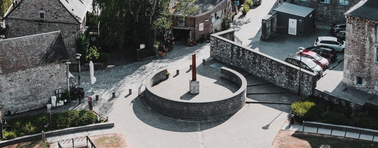
La Roche-en-Ardenne works well as a base: 15 minutes from Rendeux, 11km from Belgian Ardennes.
La Roche-en-Ardenne is a town located in Wallonia, Belgium. With a population of 4,200, it is an important destination in Europe.
On a road trip, La Roche-en-Ardenne sits in Belgium, where you drive on the right. It's in the Europe/Brussels time zone. Below you'll find where to stay, things to do nearby, and everything you need to add La Roche-en-Ardenne to your route.
About La Roche-en-Ardenne
La Roche-en-Ardenne (French pronunciation: [la ʁɔʃ ɑ̃.n‿aʁdɛn] ; Walloon: Li Rotche) is a city and municipality of Wallonia located in the province of Luxembourg and the arrondissement of Marche-en-Famenne, Belgium. Lying beside a bend in the River Ourthe, the small town of La Roche-en-Ardenne is one of the mostRead more popular tourist destinations in the Ardennes. Its name is derived from its position on a rock commanding the river.
On 1 January 2007 the municipality, which covers 147.52 km2, had 4,348 inhabitants, giving a population density of 29.5 inhabitants per km2.
The municipality consists of the following districts: Beausaint, Halleux, Hives, La Roche-en-Ardenne, Ortho, and Samrée. Other population centres include Bérismenil, Buisson, Cielle, Floumont, Herlinval, Hubermont, Lavaux, Maboge, Mierchamps, Mousny, Nisramont, Ronchampays, Ronchamps, Roupage, Thimont, Vecmont, and Warempage.
What are the best things to do in La Roche-en-Ardenne?
La Roche-en-Ardenne offers many attractions including tourist sites, museums, parks, and local restaurants. Explore famous landmarks, scenic roads, and natural wonders on our interactive map and plan your visit.
How do I plan a road trip to La Roche-en-Ardenne?
Plan your road trip to La Roche-en-Ardenne with Plan Your Road Trips! Add La Roche-en-Ardenne as a destination, and we'll help you find the best route and discover more amazing places along the way.
Where is La Roche-en-Ardenne located?
La Roche-en-Ardenne is located in Wallonia, Belgium, Europe. The coordinates are 50.1836 latitude, 5.5755 longitude.
What is the population of La Roche-en-Ardenne?
La Roche-en-Ardenne has a population of approximately 4,200 people, making it a town in Belgium.
Plan a Road Trip
Add to your itinerary
Start planning your road trip with La Roche-en-Ardenne as a destination. Create a custom route and discover more amazing places along the way.
Quartzite crest above Nadrin where the Ourthe river threads six successive meanders through unbroken Ardennes forest: reached by a short path from the Belvédère parking, and arguably Wallonia's finest natural panorama.
7 km · about 15 min drive
national park
Belgian Ardennes
Forested highland region of southeastern Belgium with deep river valleys, castles, and outdoor adventure.
11 km · about 20 min drive
mountain pass
Baraque de Fraiture
Belgium's second-highest point at 652 m, a windswept Ardennes plateau crossroads on the N89 with a small ski station and sweeping high-fen scenery.
13 km · about 25 min drive
landmark
Durbuy
Billed as the smallest town in the world, a cluster of grey-stone houses and a castle in a green Ardennes valley.
21 km · about 25 min drive
museum
Bastogne War Museum
Immersive museum commemorating the Battle of the Bulge, one of the most pivotal WWII battles fought in the Ardennes.
23 km · about 25 min drive
natural wonder
Grottes de Han
A spectacular river cave system explored by tram and boat, the finest show caves in Belgium's Ardennes.
28 km · about 35 min drive
museum
Stavelot Abbey
A 1,000-year-old abbey minutes from Spa-Francorchamps housing the circuit's official racing museum, with historic F1 and endurance cars in its vaulted cellars.
34 km · about 40 min drive
natural wonder
Ninglinspo Valley
Belgium's only true mountain stream, tumbling through the Aywaille woods in a chain of red-rock cascades and natural bathing pools with names like 'Bain de Diane'; the trail starts directly at the Sedoz roadside parking.
34 km · about 40 min drive
Driving roads near La Roche-en-Ardenne
Right hereBaraque de FraitureBelgium's second-highest point at 652 m, a windswept Ardennes plateau crossroads on the N89 with a small ski station and sweeping high-fen scenery.
51 kmSignal de BotrangeAt 694m this is the highest point in Belgium, marked by a stone tower on the Hautes Fagnes plateau.
53 kmGileppe DamA 19th-century dam near Spa crowned by a 13-ton stone lion, with a 78 m panorama tower and forested Ardennes reservoir views a short detour off the Verviers road.
56 kmTombeau du GéantA famous Semois viewpoint where the river loops around a tree-covered ridge resembling a giant's tomb near Botassart.
71 kmVaalserberg DrielandenpuntThe Netherlands' highest mainland point at 322.4 metres, where the Dutch, Belgian and German borders meet near Vaals.
74 kmGrand Duchess Charlotte BridgeLuxembourg City's striking 'Red Bridge', a scarlet steel span soaring 74 m above the Alzette valley to link the old town with the Kirchberg European quarter.