scenic viewpoint
Mourne Mountains
Granite mountain range that inspired C.S. Lewis's Narnia, with the Mourne Wall traversing 15 peaks and sweeping views to the Irish Sea.
11 km · about 20 min drive
Northern Ireland, United Kingdom · Europe
Kilkeel is worth a stop: 15 minutes from Annalong, 18km from Tollymore Forest Park.
Kilkeel is a town located in Northern Ireland, United Kingdom. With a population of 6,447, it is an important destination in Europe.
On a road trip, Kilkeel sits in United Kingdom, where you drive on the left. It's in the Europe/London time zone. Below you'll find where to stay, things to do nearby, and everything you need to add Kilkeel to your route.
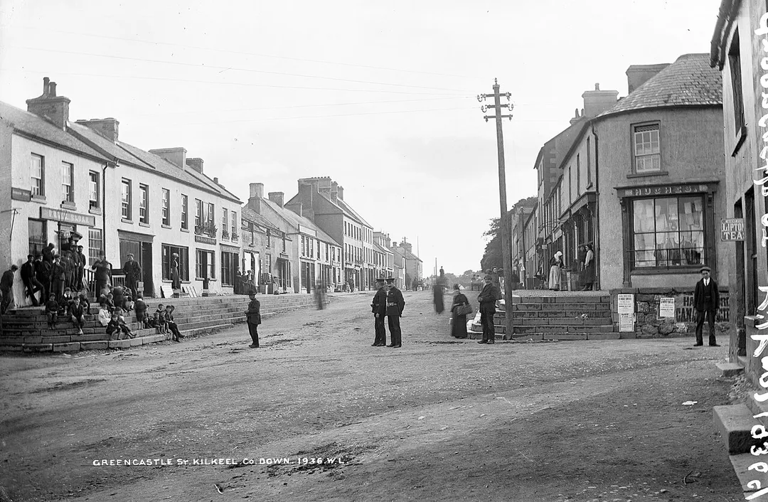
Kilkeel (from Irish Cill Chaoil, meaning 'church of the narrow') is a small town and civil parish on the Irish Sea coast of County Down, Northern Ireland. It is the main fishing port on the Down coast, and its harbour is home to the largest fishing fleet in Northern Ireland. It had a population of 6,633 people at theRead more
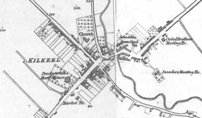
2021 census. The town contains the ruins of a 14th-century church and fort, winding streets and terraced shops. It lies just south of the Mourne Mountains, in the historic barony of Mourne, and is the southernmost town in Northern Ireland.
Compare prices across Booking.com, Airbnb, Expedia, and more. Select your dates to see availability.
Pick your must-haves once: provider links open pre-filtered. Each filter lists which sites it applies to.
Compare before you book!
Prices can vary significantly between platforms. We recommend checking at least 2-3 sites to find the best deal for your stay in Kilkeel.
Discover famous landmarks, scenic roads, and more near Kilkeel.
Kilkeel offers many attractions including tourist sites, museums, parks, and local restaurants. Explore famous landmarks, scenic roads, and natural wonders on our interactive map and plan your visit.
Plan your road trip to Kilkeel with Plan Your Road Trips! Add Kilkeel as a destination, and we'll help you find the best route and discover more amazing places along the way.
Kilkeel is located in Northern Ireland, United Kingdom, Europe. The coordinates are 54.0620 latitude, -6.0031 longitude.
Kilkeel has a population of approximately 6,447 people, making it a town in United Kingdom.
Add to your itinerary
Start planning your road trip with Kilkeel as a destination. Create a custom route and discover more amazing places along the way.
Start Road TripDiscover destinations like Tinder
Swipe through stunning destinations near Kilkeel. Save your favourites and add them to your trip.
Essential numbers in United Kingdom
112 also works. NHS non-emergency medical advice: 111. National Highways breakdown assistance on motorways: 0300 123 5000.
Full driving guide for United Kingdom8 notable places within an hour's drive.
scenic viewpoint
Granite mountain range that inspired C.S. Lewis's Narnia, with the Mourne Wall traversing 15 peaks and sweeping views to the Irish Sea.
11 km · about 20 min drive
scenic viewpoint
Northern Ireland's highest peak at 850m, with the 22-mile granite Mourne Wall running over its summit.
14 km · about 25 min drive
national park
Northern Ireland's first state forest park at the foot of the Mourne Mountains, with Gothic arches, ancient trees and Game of Thrones filming locations.
18 km · about 20 min drive
film location
The farmyard at Castle Ward on Strangford Lough was Winterfell's courtyard in season one; archery and banquet experiences run on site.
44 km · about 50 min drive
ancient ruins
A 5,200-year-old passage tomb in Ireland's Boyne Valley, older than Stonehenge and the Egyptian pyramids, famous for its winter solstice illumination of the inner chamber.
51 km · about 60 min drive
ancient ruins
A great passage tomb in the Boyne Valley ringed by kerbstones carrying the largest collection of megalithic art in Europe.
51 km · about 60 min drive
natural wonder
The largest freshwater lake in the British Isles at 392 square kilometres, with a famous eel fishery.
54 km · about 65 min drive
historic highway
A 11.9km loop of Northern Irish country lanes still used for the Ulster Grand Prix motorcycle races, with jumps, stone walls and hedges inches from the racing line. Open public roads the rest of the year.
58 km · about 65 min drive
9 named roads, passes and coastal drives within 150km.
April to October
Other places to explore near Kilkeel.
Create your perfect itinerary with our calendar-based planner. Add stops, discover attractions along the way, and share your trip with friends.
Start Planning