national park
Eifel National Park
NRW's only national park rewires former forest with wild beech, wildcats and one of Germany's darkest star-filled skies.
12 km · about 20 min drive

North Rhine-Westphalia, Germany · Europe
Kall is worth a stop: 10 minutes from Schleiden, 12km from Eifel National Park.
Kall is a town located in North Rhine-Westphalia, Germany. With a population of 11,903, it is an important destination in Europe.
On a road trip, Kall sits in Germany, where you drive on the right. It's in the Europe/Berlin time zone. Below you'll find where to stay, things to do nearby, and everything you need to add Kall to your route.
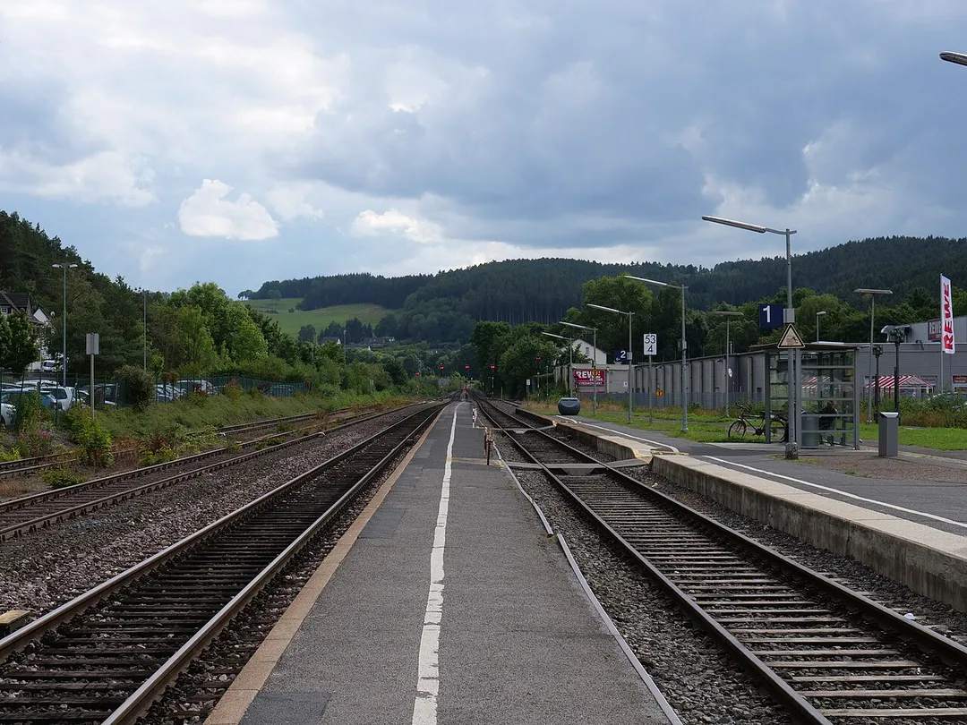
Kall (German pronunciation: [kal]) is a municipality in the district of Euskirchen in the state of North Rhine-Westphalia, Germany. It is located in the Eifel hills, approximatively 20 km south-west of Euskirchen.
Kall consists of the following districts: Anstois, Benenberg, Diefenbach, Dottel, Frohnrath, Gillenberg,Read more
Golbach, Keldenich, Krekel, Rinnen, Roder, Rüth, Scheven, Sistig, Sötenich, Steinfeld, Steinfelderheistert, Straßbüsch, Urft, Wahlen, Wallenthal, Wallenthalerhöhe, and Kall itself.
Most important river within Kall is the Urft, a tributary to the Roer. Parts of Kall belong to Eifel National Park.
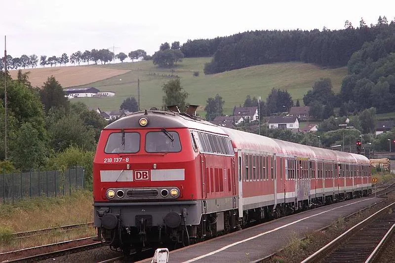
Kall had been affected by 2021 European floods. Three persons died, also rail installations and residential buildings had been damaged.
Compare prices across Booking.com, Airbnb, Expedia, and more. Select your dates to see availability.
Pick your must-haves once: provider links open pre-filtered. Each filter lists which sites it applies to.
Compare before you book!
Prices can vary significantly between platforms. We recommend checking at least 2-3 sites to find the best deal for your stay in Kall.
Discover famous landmarks, scenic roads, and more near Kall.
Kall offers many attractions including tourist sites, museums, parks, and local restaurants. Explore famous landmarks, scenic roads, and natural wonders on our interactive map and plan your visit.
Plan your road trip to Kall with Plan Your Road Trips! Add Kall as a destination, and we'll help you find the best route and discover more amazing places along the way.
Kall is located in North Rhine-Westphalia, Germany, Europe. The coordinates are 50.5422 latitude, 6.5630 longitude.
Kall has a population of approximately 11,903 people, making it a town in Germany.
Add to your itinerary
Start planning your road trip with Kall as a destination. Create a custom route and discover more amazing places along the way.
Start Road TripDiscover destinations like Tinder
Swipe through stunning destinations near Kall. Save your favourites and add them to your trip.
Essential numbers in Germany
ADAC roadside assistance: +49 89 22 22 22. No general speed limit on some autobahn sections but advisory 130 km/h.
Full driving guide for Germany8 notable places within an hour's drive.
national park
NRW's only national park rewires former forest with wild beech, wildcats and one of Germany's darkest star-filled skies.
12 km · about 20 min drive
landmark
Slate-and-timber Eifel town crammed into the narrow Rur gorge near the Belgian border, its lanes essentially unchanged for 300 years; a historic mustard mill still grinds and the castle ruin hosts open-air concerts.
23 km · about 25 min drive
national park
Belgium's highest, wildest plateau of peat bog and boardwalk trails, often the snowiest corner of the country.
34 km · about 40 min drive
scenic viewpoint
At 694m this is the highest point in Belgium, marked by a stone tower on the Hautes Fagnes plateau.
34 km · about 40 min drive
cafe
A legendary trackside bar and cafe at the Nurburgring where racers and enthusiasts have gathered for decades to swap stories from the Nordschleife.
35 km · about 40 min drive
museum
Interactive motorsport experience center at the Nürburgring with racing simulators and historic exhibits.
35 km · about 40 min drive
cafe
The cafe overlooking the famous Nurburgring Nordschleife, where motorsport fans watch cars tackle the Green Hell while enjoying coffee and bratwurst.
36 km · about 40 min drive
cafe
A cafe in the Nurburgring Ring Boulevard complex where fans watch lap times on giant screens and spot supercars heading to the Nordschleife tourist drives.
36 km · about 40 min drive
April to October
Other places to explore near Kall.
Create your perfect itinerary with our calendar-based planner. Add stops, discover attractions along the way, and share your trip with friends.
Start Planning