landmark
Maeslantkering
Movable storm surge barrier on the Nieuwe Waterweg near Hoek van Holland, with two swinging arms as long as the Eiffel Tower.
14 km · about 25 min drive
South Holland, Netherlands · Europe
Hellevoetsluis works well as a base: 10 minutes from Vierpolders, 21km from Brouwersdam.
Hellevoetsluis is a town located in South Holland, Netherlands. With a population of 21,927, it is an important destination in Europe.
On a road trip, Hellevoetsluis sits in Netherlands, where you drive on the right. It's in the Europe/Amsterdam time zone. Below you'll find where to stay, things to do nearby, and everything you need to add Hellevoetsluis to your route.
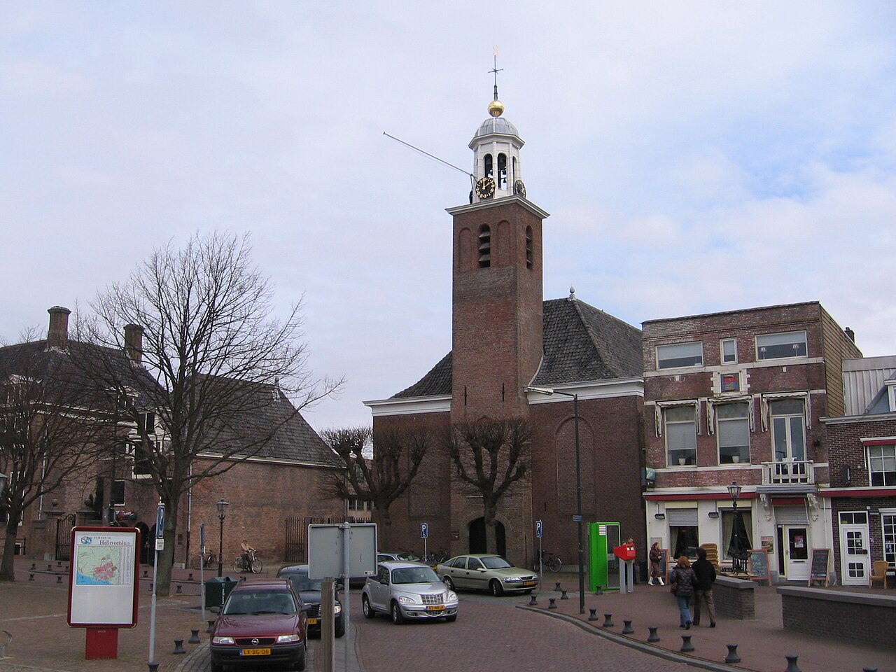
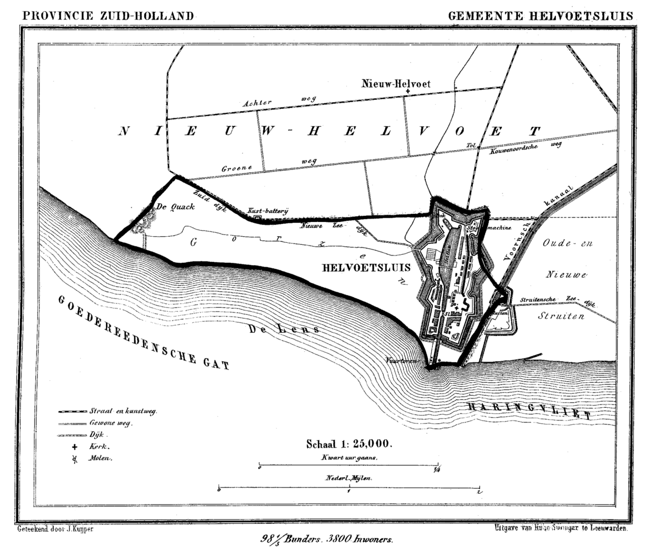
Hellevoetsluis (Dutch pronunciation: [ˌɦɛləvutˈslœys] ) is a town and former municipality in the west of Netherlands. It is located in Voorne-Putten, South Holland. The former municipality covered an area of 61.20 km2 (23.63 sq mi) of which 20.10 km2 (7.76 sq mi) was water and it included the population centres ofRead more
Nieuw-Helvoet, Nieuwenhoorn, and Oude en Nieuwe Struiten, all former municipalities.
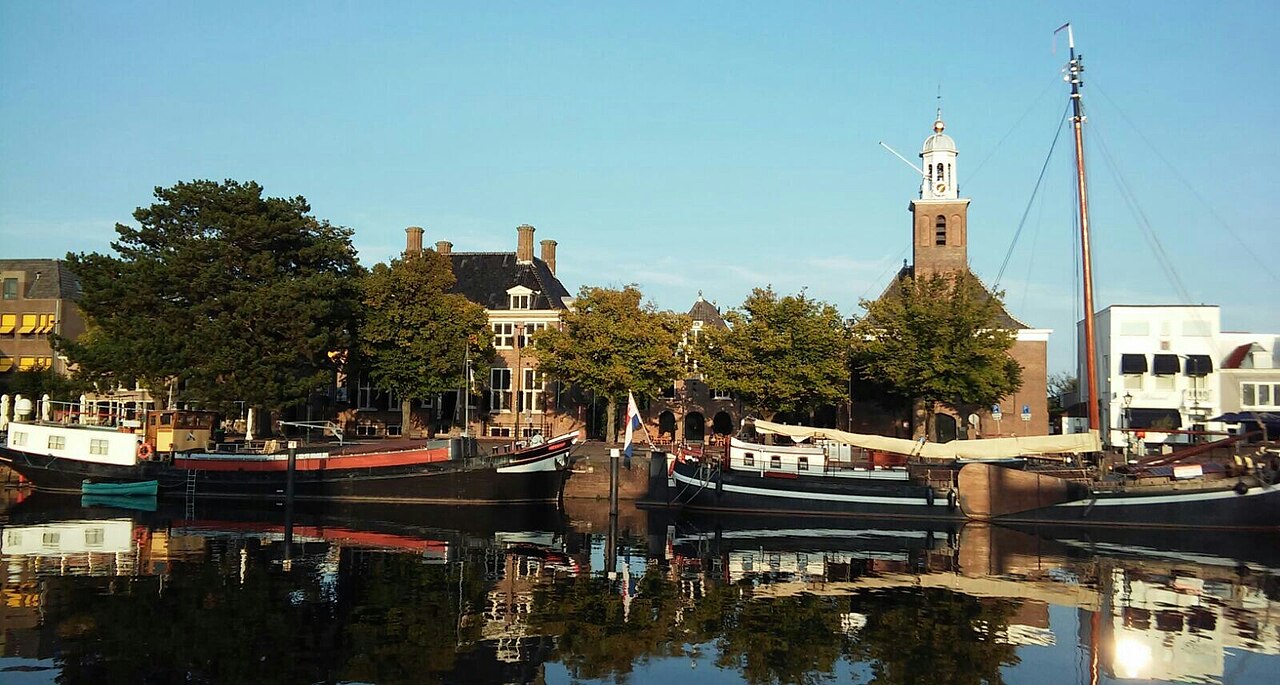
Hellevoetsluis is located on the Haringvliet with the sea, beach, and dunes close by, on the extreme southern edge of the Rijnmond and Europoort areas, close to the broad Zeeland landscape. The name translates as "lock at the foot of the Helle". The Helle was a small local river that disappeared over time.
On 1 January 2023, the municipality of Hellevoetsluis merged with Brielle and Westvoorne into the new municipality of Voorne aan Zee.
Compare prices across Booking.com, Airbnb, Expedia, and more. Select your dates to see availability.
Pick your must-haves once: provider links open pre-filtered. Each filter lists which sites it applies to.
Compare before you book!
Prices can vary significantly between platforms. We recommend checking at least 2-3 sites to find the best deal for your stay in Hellevoetsluis.
Discover famous landmarks, scenic roads, and more near Hellevoetsluis.
Hellevoetsluis offers many attractions including tourist sites, museums, parks, and local restaurants. Explore famous landmarks, scenic roads, and natural wonders on our interactive map and plan your visit.
Plan your road trip to Hellevoetsluis with Plan Your Road Trips! Add Hellevoetsluis as a destination, and we'll help you find the best route and discover more amazing places along the way.
Hellevoetsluis is located in South Holland, Netherlands, Europe. The coordinates are 51.8333 latitude, 4.1333 longitude.
Hellevoetsluis has a population of approximately 21,927 people, making it a town in Netherlands.
Add to your itinerary
Start planning your road trip with Hellevoetsluis as a destination. Create a custom route and discover more amazing places along the way.
Start Road TripDiscover destinations like Tinder
Swipe through stunning destinations near Hellevoetsluis. Save your favourites and add them to your trip.
Essential numbers in Netherlands
Watch for cyclists. They generally have priority.
Full driving guide for Netherlands8 notable places within an hour's drive.
landmark
Movable storm surge barrier on the Nieuwe Waterweg near Hoek van Holland, with two swinging arms as long as the Eiffel Tower.
14 km · about 25 min drive
coastal drive
Delta Works dam carrying the N57 between two Zeeland islands, with the North Sea on one side, the Grevelingen lagoon on the other, and kitesurfers filling the sky.
21 km · about 25 min drive
landmark
The cobbled heart of Vermeer's Delft, framed by the New Church tower and Renaissance town hall above the famous blue pottery.
25 km · about 30 min drive
landmark
Piet Blom's tilted yellow cube houses are the quirky landmark of Rotterdam's bold post-war architecture scene.
26 km · about 30 min drive
bridge
Rotterdam's swan-necked cable-stayed bridge soars over the Maas, a striking modern icon glowing over the river at night.
26 km · about 30 min drive
bridge
Elegant 5 km bridge over the Oosterschelde estuary, the longest in the Netherlands when opened in 1965. Its endless procession of arches makes one of the country's most photogenic drives.
30 km · about 35 min drive
landmark
A miniature Netherlands in 1:25 scale, with tiny canals, windmills and airports, on the edge of The Hague.
32 km · about 35 min drive
beach
The Hague's grand seaside resort with a long sandy strand, a historic pier and a Belle Epoque Kurhaus hotel.
32 km · about 35 min drive
April to October
Other places to explore near Hellevoetsluis.
Create your perfect itinerary with our calendar-based planner. Add stops, discover attractions along the way, and share your trip with friends.
Start Planning