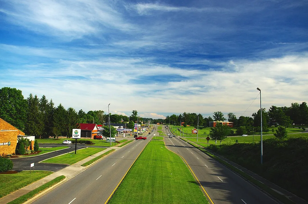


racetrack
Harewood Speed Hillclimb
The longest hillclimb course in England at 1,598 yards, climbing Yorkshire moorland on the Harewood estate with sweeping open views over Wharfedale from the spectator banks.
10 km · about 20 min drive
England, United Kingdom · Europe
Harrogate works well as a base: 10 minutes from Knaresborough, 13km from Brimham Rocks.
Harrogate is a town located in England, United Kingdom. With a population of 89,060, it is an important destination in Europe.
On a road trip, Harrogate sits in United Kingdom, where you drive on the left. It's in the Europe/London time zone. Below you'll find where to stay, things to do nearby, and everything you need to add Harrogate to your route.
Harrogate () is a spa town and civil parish in North Yorkshire, England, historically part of the West Riding of Yorkshire. Visitor attractions include Bettys tea rooms, RHS Harlow Carr gardens and the Royal Pump Room Museum, which explores the town's spa heritage. The Yorkshire Dales National Park and Nidderdale AONBRead more
are 13 miles (21 km) from the town centre.
In the 17th century, Harrogate grew out of two smaller settlements, High Harrogate and Low Harrogate. For three consecutive years (2013–2015), polls voted the town as "the happiest place to live" in Britain. Harrogate spa water contains iron, sulphur, and common salt (NaCl). The town became known as 'The English Spa' in the Georgian era, after its waters were discovered in the 16th century. In the 17th and 18th centuries, its chalybeate waters (containing iron) were a popular health treatment, and the influx of wealthy but sickly visitors contributed significantly to the wealth of the town.
Compare prices across Booking.com, Airbnb, Expedia, and more. Select your dates to see availability.
Pick your must-haves once: provider links open pre-filtered. Each filter lists which sites it applies to.
Compare before you book!
Prices can vary significantly between platforms. We recommend checking at least 2-3 sites to find the best deal for your stay in Harrogate.
Discover famous landmarks, scenic roads, and more near Harrogate.
Harrogate offers many attractions including tourist sites, museums, parks, and local restaurants. Explore famous landmarks, scenic roads, and natural wonders on our interactive map and plan your visit.
Plan your road trip to Harrogate with Plan Your Road Trips! Add Harrogate as a destination, and we'll help you find the best route and discover more amazing places along the way.
Harrogate is located in England, United Kingdom, Europe. The coordinates are 53.9908 latitude, -1.5373 longitude.
Harrogate has a population of approximately 89,060 people, making it a town in United Kingdom.
Add to your itinerary
Start planning your road trip with Harrogate as a destination. Create a custom route and discover more amazing places along the way.
Start Road TripDiscover destinations like Tinder
Swipe through stunning destinations near Harrogate. Save your favourites and add them to your trip.
Essential numbers in United Kingdom
112 also works. NHS non-emergency medical advice: 111. National Highways breakdown assistance on motorways: 0300 123 5000.
Full driving guide for United Kingdom8 notable places within an hour's drive.
racetrack
The longest hillclimb course in England at 1,598 yards, climbing Yorkshire moorland on the Harewood estate with sweeping open views over Wharfedale from the spectator banks.
10 km · about 20 min drive
ancient ruins
Largest and best-preserved Cistercian monastery ruins in England, set within the elegant Studley Royal Water Garden UNESCO World Heritage Site.
13 km · about 25 min drive
natural wonder
Wind-carved millstone grit outcrops on a Nidderdale moor, a natural playground of balanced boulders.
13 km · about 25 min drive
ancient ruins
Romantic 12th-century Augustinian priory ruins on the banks of the River Wharfe, surrounded by 30,000 acres of moorland and woodland.
23 km · about 25 min drive
natural wonder
A narrow chasm where the whole River Wharfe squeezes into a few feet of rock - beautiful and genuinely lethal.
24 km · about 30 min drive
cafe
One of Yorkshire's most famous biker cafes near Sherburn-in-Elmet, hosting regular bike nights and rallies.
28 km · about 35 min drive
natural wonder
A narrow limestone ravine in Nidderdale with walkways above the water, caves and a via ferrata course.
28 km · about 30 min drive
cathedral
One of the largest Gothic cathedrals in Northern Europe, famous for its medieval stained glass.
30 km · about 35 min drive
6 named roads, passes and coastal drives within 60km.
April to October
Other places to explore near Harrogate.
Create your perfect itinerary with our calendar-based planner. Add stops, discover attractions along the way, and share your trip with friends.
Start Planning