PYRTPlan Your Road Trips
Create TripMy TripsCommunityMerchandise
PYRTPlan Your Road Trips
Create TripMy TripsCommunityMerchandise
E
Destinations
Home›Destinations›Eger
EuropeHungaryHeves County

Eger

Heves County, Hungary · Europe

About Eger

Eger is worth a stop: 10 minutes from Egerszalók, 19km from Szalajka Valley & Fátyol Waterfall.

Eger is a town located in Heves County, Hungary. With a population of 53,876, it is an important destination in Europe.

On a road trip, Eger sits in Hungary, where you drive on the right. It's in the Europe/Budapest time zone. Below you'll find where to stay, things to do nearby, and everything you need to add Eger to your route.

About Eger

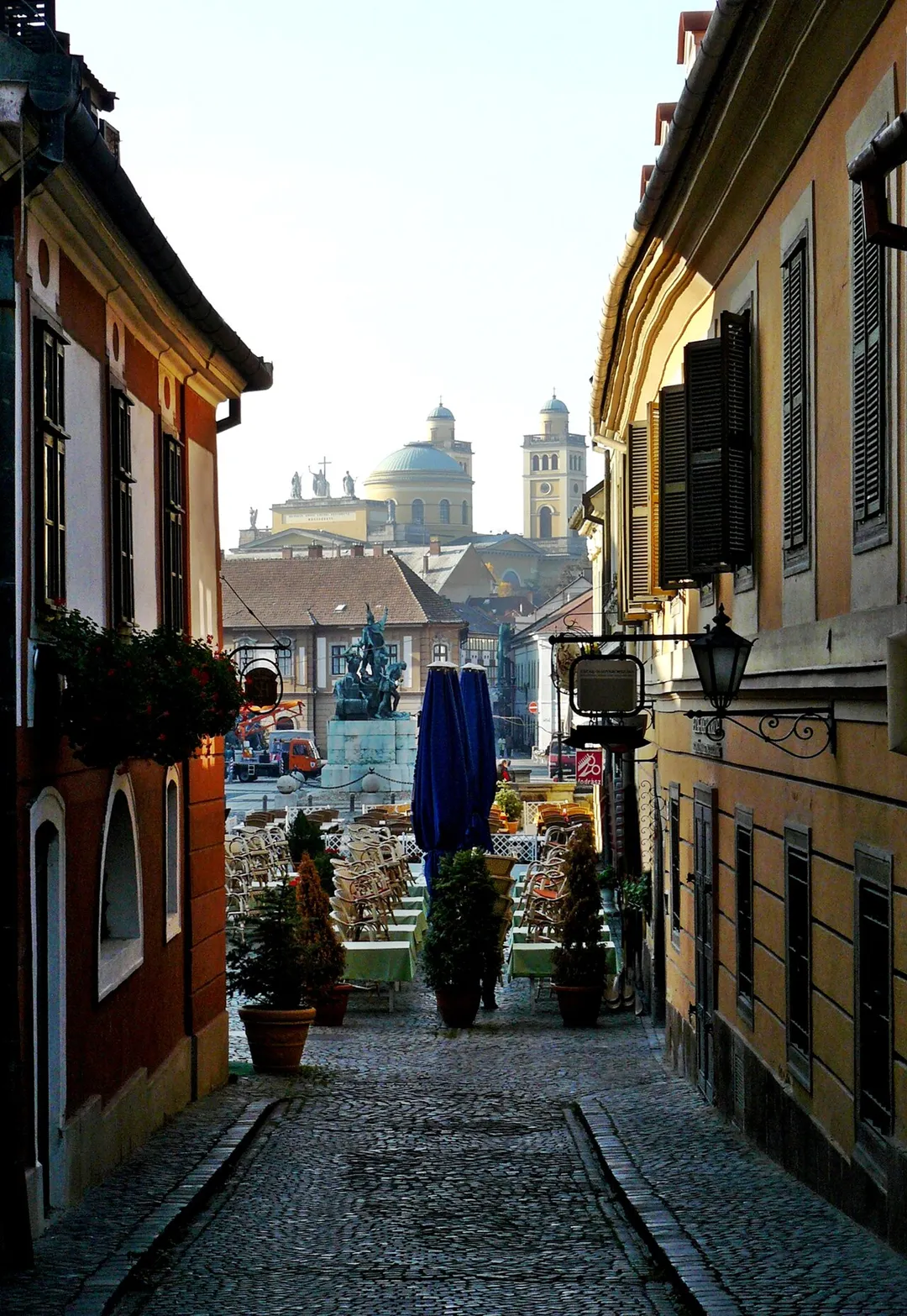
Eger (UK: EG-ər, US: AY-gər; Hungarian: [ˈɛɡɛr] ; also known by other alternative names) is the county seat of Heves County, and the second largest city in Northern Hungary (after Miskolc). A city with county rights, Eger is best known for its medieval castle, thermal baths, baroque buildings, the northernmost

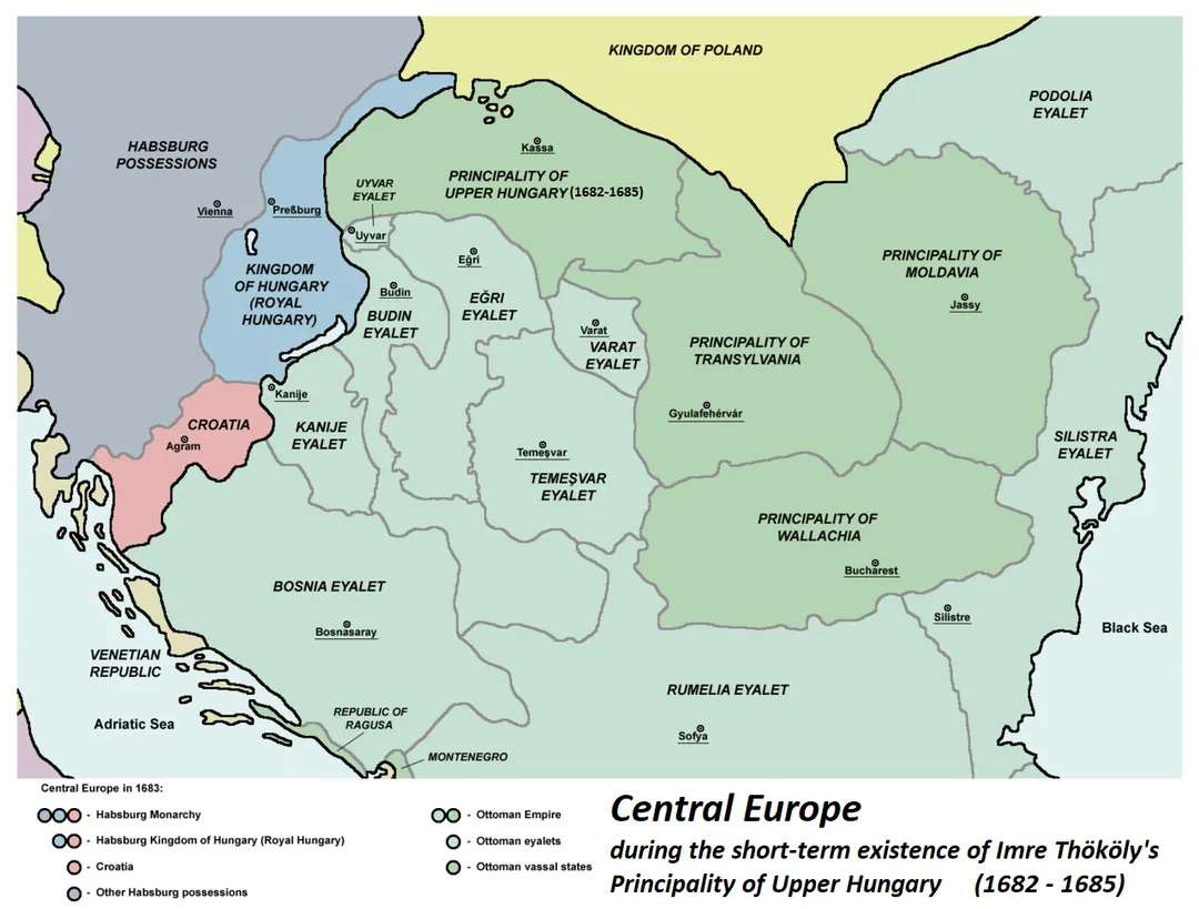
Read more Ottoman minaret, and red wines. Its population of around 53,000 (2017) makes it the 19th largest centre of population in Hungary, according to the census. The town is located on the Eger Stream (a tributary of the Tisza river), on the hills between the Mátra and Bükk Mountains. The main campus of Eszterházy Károly Catholic University is in Eger.

Read more on Wikipedia

Where to Stay in Eger

Compare prices across Booking.com, Airbnb, Expedia, and more. Select your dates to see availability.

Filter presets

Pick your must-haves once: provider links open pre-filtered. Each filter lists which sites it applies to.

Booking.comExpediaTripAdvisorHotels.comAgodaAirbnb

Compare before you book!

Prices can vary significantly between platforms. We recommend checking at least 2-3 sites to find the best deal for your stay in Eger.

Explore the Area

Discover famous landmarks, scenic roads, and more near Eger.

Loading map...
Open in Google Maps

Frequently Asked Questions

What are the best things to do in Eger?

Eger offers many attractions including tourist sites, museums, parks, and local restaurants. Explore famous landmarks, scenic roads, and natural wonders on our interactive map and plan your visit.

How do I plan a road trip to Eger?

Plan your road trip to Eger with Plan Your Road Trips! Add Eger as a destination, and we'll help you find the best route and discover more amazing places along the way.

Where is Eger located?

Eger is located in Heves County, Hungary, Europe. The coordinates are 47.9027 latitude, 20.3733 longitude.

What is the population of Eger?

Eger has a population of approximately 53,876 people, making it a town in Hungary.

Plan a Road Trip

Add to your itinerary

Start planning your road trip with Eger as a destination. Create a custom route and discover more amazing places along the way.

Start Road Trip

What's Nearby?

Discover destinations like Tinder

Swipe through stunning destinations near Eger. Save your favourites and add them to your trip.

Explore now

Quick Information

Population
53,876
Continent
Europe
Country
Hungary
Region
Heves County
Timezone
Europe/Budapest
Coordinates
47.9027, 20.3733

Emergency & Services

Essential numbers in Hungary

Police
107
Ambulance
104
Fire
105
All emergencies
112
Driving side
right

e-vignette required for motorways. Zero alcohol limit for drivers.

Full driving guide for Hungary

Tags

EuropeHungaryHeves CountyTown

Worth the detour from Eger

3 notable places within an hour's drive.

waterfall

Szalajka Valley & Fátyol Waterfall

A limestone valley at Szilvásvárad in the Bükk hills where the Veil Waterfall spills over 17 m of travertine terraces; a narrow-gauge forest railway runs from the village to trout ponds and the falls.

19 km · about 20 min drive

scenic viewpoint

Kekesteto

Hungary's highest point at 1,014 m in the Matra range, reached by a winding forest road to a TV tower lookout: the summit stripe on the asphalt is a beloved photo stop for drivers and cyclists.

27 km · about 30 min drive

landmark

Hollókő

A UNESCO-preserved Palóc village of whitewashed houses with wooden balconies, famous for its traditional Easter Festival celebrations.

59 km · about 70 min drive

Driving roads near Eger

  • 27 kmKekestetoHungary's highest point at 1,014 m in the Matra range, reached by a winding forest road to a TV tower lookout: the summit stripe on the asphalt is a beloved photo stop for drivers and cyclists.

Driving in Hungary

Drives on
the right
Petrol
~€1.58/litre
Motorway tolls
None
Vignette
Required, around €16 for a short-stay sticker

When to drive here

April to October

Nearby Destinations

Other places to explore near Eger.

Egerszalók

🇭🇺 Hungary

5 km awayPop. 1,981

Ostoros

🇭🇺 Hungary

6 km awayPop. 2,362

Andornaktálya

🇭🇺 Hungary

7 km awayPop. 2,604

Felsőtárkány

🇭🇺 Hungary

8 km awayPop. 3,223

Kerecsend

🇭🇺 Hungary

12 km awayPop. 2,217

Maklár

🇭🇺 Hungary

12 km awayPop. 2,340

Bogács

🇭🇺 Hungary

12 km awayPop. 2,112

Verpelét

🇭🇺 Hungary

12 km awayPop. 4,016

Plan a trip around Eger

Europe road trip planner

Plan a Road Trip from Eger

Create your perfect itinerary with our calendar-based planner. Add stops, discover attractions along the way, and share your trip with friends.

Start Planning
PYRT

The ultimate road trip planning platform. Discover 150,000+ destinations worldwide, plan scenic routes, and create unforgettable adventures.

Inspiration

  • Discover Trips
  • Travel Guides
  • Community

The Product

  • Calendar Planner
  • Integrations
  • How It Works
  • Collaboration Mode
  • Get the App
  • Merchandise: PYRT Supply Co.
  • Become a Creator
  • Trip Marketplace

Plan Your Trip

  • Road Trip Planner
  • Famous Routes
  • Planners by Country
  • Best Road Trip Planner App
  • Discover Road Trips
  • Events
  • Travel Guides
  • How It Works
  • My Trips
  • Community Groups

Company

  • Terms of Service
  • Privacy Policy
  • Support
  • Contact Us
  • Sign In
  • Create Account

© 2026 Plan Your Road Trips. All rights reserved.

•[email protected]
Data sources:GeoNames (CC BY 4.0)•Wikimedia Commons (CC BY-SA)•Mapbox•Photography: George Lawrence