ancient ruins
Newgrange
A 5,200-year-old passage tomb in Ireland's Boyne Valley, older than Stonehenge and the Egyptian pyramids, famous for its winter solstice illumination of the inner chamber.
9 km · about 15 min drive
Leinster, Ireland · Europe
Drogheda is worth a stop: 10 minutes from Tullyallen, 9km from Newgrange.
Drogheda is a town located in Leinster, Ireland. With a population of 40,956, it is an important destination in Europe.
On a road trip, Drogheda sits in Ireland, where you drive on the left. It's in the Europe/Dublin time zone. Below you'll find where to stay, things to do nearby, and everything you need to add Drogheda to your route.
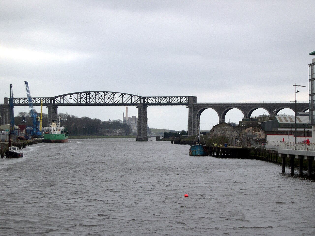
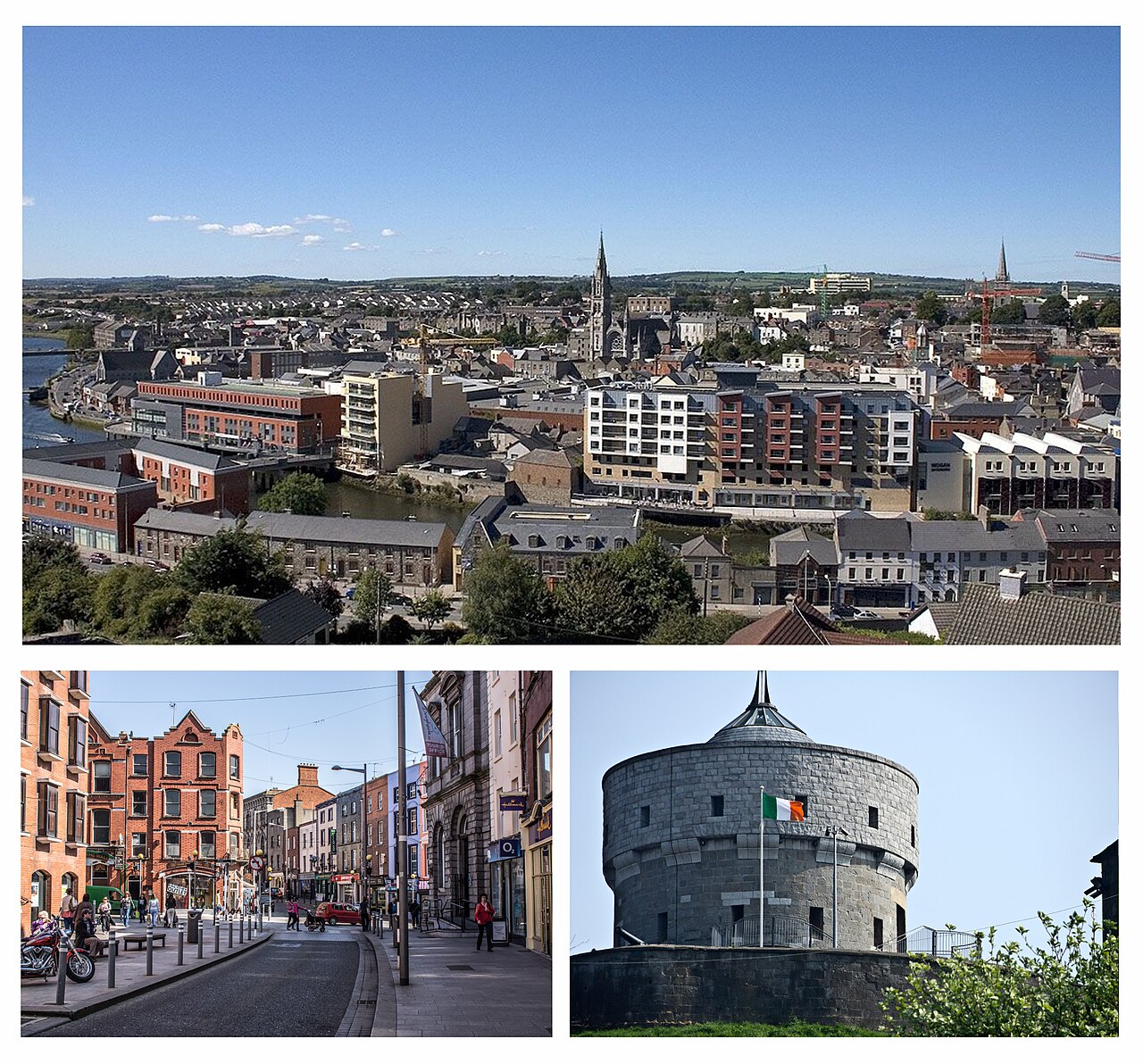
Drogheda ( DRO-həd-ə, DRAW-də; Irish: Droichead Átha [ˈd̪ˠɾˠɛhəd̪ˠ ˈaːhə] , meaning "bridge at the ford") is an industrial and port town in County Louth on the east coast of Ireland, 43 km (27 mi) north of Dublin. It is located on the Dublin–Belfast corridor on the east coast of Ireland, mostly in County Louth butRead more
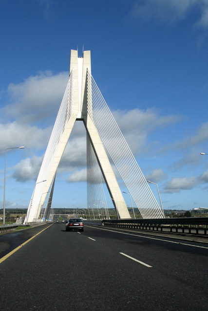
with the south fringes of the town in County Meath, 40 km (25 mi) north of Dublin city centre. Drogheda had a population of 44,135 inhabitants in 2022, making it the eleventh largest settlement by population in all of Ireland, and the largest town in the Republic of Ireland, by both population and area. The area of Drogheda that is in Co. Louth has 35,990 residents, while the area of Drogheda that is in Co. Meath has 8,145 residents, which make up the 44,135 total. It is the last bridging point on the River Boyne before it enters the Irish Sea. The UNESCO World Heritage Site of Newgrange is located 8 km (5.0 mi) west of the town.
Compare prices across Booking.com, Airbnb, Expedia, and more. Select your dates to see availability.
Pick your must-haves once: provider links open pre-filtered. Each filter lists which sites it applies to.
Compare before you book!
Prices can vary significantly between platforms. We recommend checking at least 2-3 sites to find the best deal for your stay in Drogheda.
Discover famous landmarks, scenic roads, and more near Drogheda.
Drogheda offers many attractions including tourist sites, museums, parks, and local restaurants. Explore famous landmarks, scenic roads, and natural wonders on our interactive map and plan your visit.
Plan your road trip to Drogheda with Plan Your Road Trips! Add Drogheda as a destination, and we'll help you find the best route and discover more amazing places along the way.
Drogheda is located in Leinster, Ireland, Europe. The coordinates are 53.7189 latitude, -6.3478 longitude.
Drogheda has a population of approximately 40,956 people, making it a town in Ireland.
Add to your itinerary
Start planning your road trip with Drogheda as a destination. Create a custom route and discover more amazing places along the way.
Start Road TripDiscover destinations like Tinder
Swipe through stunning destinations near Drogheda. Save your favourites and add them to your trip.
8 notable places within an hour's drive.
ancient ruins
A 5,200-year-old passage tomb in Ireland's Boyne Valley, older than Stonehenge and the Egyptian pyramids, famous for its winter solstice illumination of the inner chamber.
9 km · about 15 min drive
ancient ruins
A great passage tomb in the Boyne Valley ringed by kerbstones carrying the largest collection of megalithic art in Europe.
10 km · about 20 min drive
ancient ruins
The ceremonial seat of the High Kings of Ireland, a set of grassy earthworks with the Lia Fáil standing stone on top.
23 km · about 25 min drive
castle
Ireland's largest Anglo-Norman castle, used as a Braveheart filming location, with a massive 20-sided keep dominating the Boyne Valley.
34 km · about 40 min drive
film location
Ireland's largest Anglo-Norman castle doubled for the city of York in Braveheart, with the battles shot on the Curragh plain nearby.
34 km · about 40 min drive
landmark
Ireland's largest zoo in Phoenix Park, one of the oldest zoos in Europe, home to over 400 animals.
40 km · about 45 min drive
cathedral
Ireland's largest cathedral and national cathedral of the Church of Ireland, once led by Jonathan Swift.
42 km · about 50 min drive
scenic viewpoint
A looped cliff path around Howth Head with views to Ireland's Eye and the Wicklow mountains, easily reached from Dublin.
43 km · about 50 min drive
April to October
Other places to explore near Drogheda.
Create your perfect itinerary with our calendar-based planner. Add stops, discover attractions along the way, and share your trip with friends.
Start Planning