film location
Route des Cretes, Verdon Gorge (Bond-style corniche)
The clifftop one-way loop above Europe's deepest gorge is the archetypal Riviera driving road used in car chase cinematography and manufacturer films.
25 km · about 30 min drive
Provence-Alpes-Côte d'Azur, France · Europe
Draguignan works well as a base: 10 minutes from Trans-en-Provence, 26km from Gorges du Verdon.
Draguignan is a town located in Provence-Alpes-Côte d'Azur, France. With a population of 38,573, it is an important destination in Europe.
On a road trip, Draguignan sits in France, where you drive on the right. It's in the Europe/Paris time zone. Below you'll find where to stay, things to do nearby, and everything you need to add Draguignan to your route.
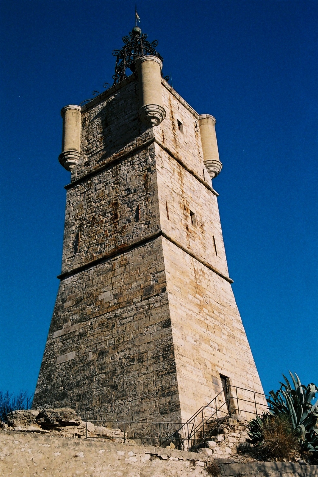
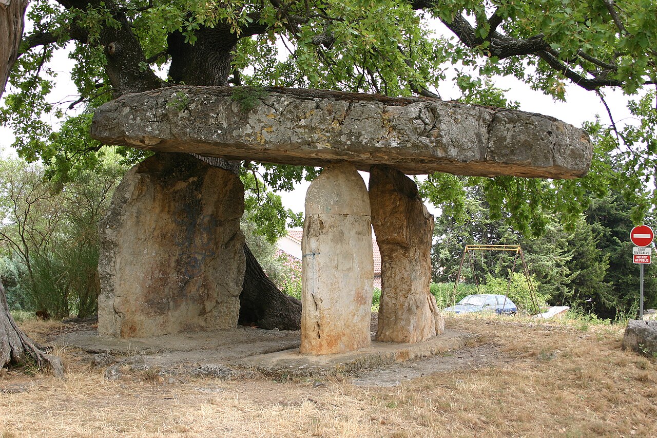
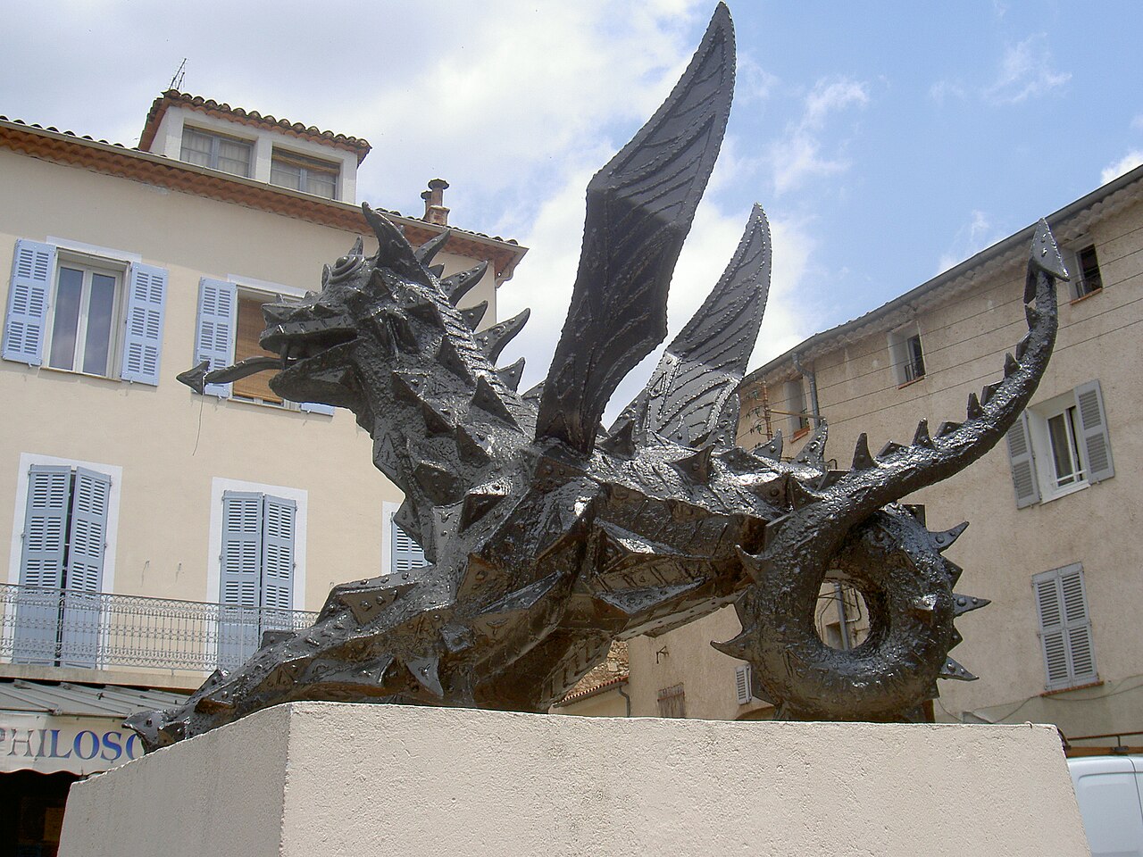
Draguignan (French: [dʁaɡiɲɑ̃]; Occitan: Draguinhan) is a commune in the Var department in the administrative region of Provence-Alpes-Côte d'Azur (formerly Provence), southeastern France.
Draguignan was founded in antiquity. The city stands out because of its long history and great location, just 25 km (16 mi) fromRead more
the Mediterranean Sea and nestled between the French Riviera and the Verdon Regional Natural Park. The city is 42 km (26 mi) from Saint-Tropez, and 80 km (50 mi) from Nice. Its population is approximately 40,000. Additionally, the city serves as the administrative center of the Dracénie Provence Verdon urban community, which includes twenty-three municipalities and more than 110,000 residents.
The city is currently home to two military schools, the Infantry School and the Artillery School.
Compare prices across Booking.com, Airbnb, Expedia, and more. Select your dates to see availability.
Pick your must-haves once: provider links open pre-filtered. Each filter lists which sites it applies to.
Compare before you book!
Prices can vary significantly between platforms. We recommend checking at least 2-3 sites to find the best deal for your stay in Draguignan.
Discover famous landmarks, scenic roads, and more near Draguignan.
Draguignan offers many attractions including tourist sites, museums, parks, and local restaurants. Explore famous landmarks, scenic roads, and natural wonders on our interactive map and plan your visit.
Plan your road trip to Draguignan with Plan Your Road Trips! Add Draguignan as a destination, and we'll help you find the best route and discover more amazing places along the way.
Draguignan is located in Provence-Alpes-Côte d'Azur, France, Europe. The coordinates are 43.5369 latitude, 6.4646 longitude.
Draguignan has a population of approximately 38,573 people, making it a town in France.
Add to your itinerary
Start planning your road trip with Draguignan as a destination. Create a custom route and discover more amazing places along the way.
Start Road TripDiscover destinations like Tinder
Swipe through stunning destinations near Draguignan. Save your favourites and add them to your trip.
Essential numbers in France
Carrying a warning triangle and hi-vis vest in your vehicle is mandatory. Motorway emergency phones connect to official breakdown services only.
Full driving guide for France8 notable places within an hour's drive.
film location
The clifftop one-way loop above Europe's deepest gorge is the archetypal Riviera driving road used in car chase cinematography and manufacturer films.
25 km · about 30 min drive
natural wonder
Europe's deepest canyon, a 25-kilometer gash of turquoise waters flanked by 700-meter limestone cliffs in Haute-Provence.
26 km · about 30 min drive
scenic viewpoint
Europe's deepest canyon with 700-metre limestone walls and turquoise water, viewed from multiple pull-offs along the Route des Cretes.
27 km · about 30 min drive
scenic viewpoint
A guardrail-edge belvedere on the Verdon's one-way Route des Crêtes, looking straight down 300 m of limestone.
27 km · about 30 min drive
famous road
A one-way clifftop loop above Europe's deepest canyon with 14 belvederes, exposed and unforgettable.
27 km · about 30 min drive
famous road
A one-way clifftop loop above the Verdon canyon with a string of giddy belvederes over the abyss.
30 km · about 35 min drive
famous road
The southern rim road of the Verdon Gorge, running along the cliff edge with balcony views down to the green river.
30 km · about 35 min drive
coastal drive
A spectacular coastal road winding through the red porphyry rocks of the Esterel massif between Cannes and Frejus.
32 km · about 35 min drive
April to October
Other places to explore near Draguignan.
Create your perfect itinerary with our calendar-based planner. Add stops, discover attractions along the way, and share your trip with friends.
Start Planning