
coastal drive
Koninklijke Baan Coast Road
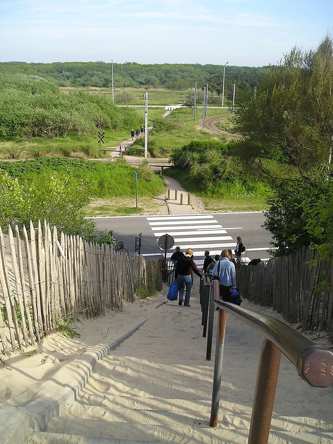
The N34 'Royal Road' hugs nearly the whole Belgian coast, sharing its corridor with the world's longest tram line and passing Belle Epoque De Haan, dunes and beach resorts.
0 km · about 5 min drive
Flanders, Belgium · Europe
De Haan works well as a base: 10 minutes from Wenduine, right by Koninklijke Baan Coast Road.
De Haan is a town located in Flanders, Belgium. With a population of 11,766, it is an important destination in Europe.
On a road trip, De Haan sits in Belgium, where you drive on the right. It's in the Europe/Brussels time zone. Below you'll find where to stay, things to do nearby, and everything you need to add De Haan to your route.
De Haan (Dutch pronunciation: [də ˈɦaːn]; French: Le Coq, French pronunciation: [lə kɔk]; West Flemish: D'n Oane; English: The Cock or Cockerel; (USA/Canada) Rooster) is a place and a municipality located in the Belgian province of West Flanders. The municipality comprises the villages of De Haan proper, Wenduine,Read more
Klemskerke, Vlissegem and Harendijk. On January 1, 2020 De Haan had a total population of 12,700. The total area is 46.14 km2 (26.2 Miles) which gives a population density of 275.26 inhabitants per km2.
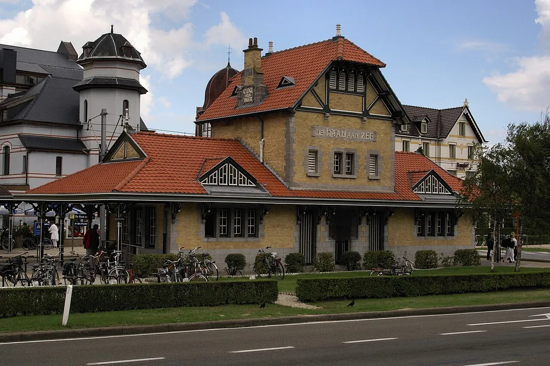
The coastal village of De Haan proper has maintained a low skyline so its many buildings in Belle Époque style are still prominently visible.
The town has an 18-hole golf course situated in its dunes, founded by King Leopold II in 1903. Today, it is the only links course in the country.
Its most famous resident was Albert Einstein, who lived in the villa "Savoyarde" for six months in 1933 after leaving Nazi Germany. Belgian TV crime drama series, Juliet (2024), was filmed and set in De Haan.
Compare prices across Booking.com, Airbnb, Expedia, and more. Select your dates to see availability.
Pick your must-haves once: provider links open pre-filtered. Each filter lists which sites it applies to.
Compare before you book!
Prices can vary significantly between platforms. We recommend checking at least 2-3 sites to find the best deal for your stay in De Haan.
Discover famous landmarks, scenic roads, and more near De Haan.
De Haan offers many attractions including tourist sites, museums, parks, and local restaurants. Explore famous landmarks, scenic roads, and natural wonders on our interactive map and plan your visit.
Plan your road trip to De Haan with Plan Your Road Trips! Add De Haan as a destination, and we'll help you find the best route and discover more amazing places along the way.
De Haan is located in Flanders, Belgium, Europe. The coordinates are 51.2726 latitude, 3.0345 longitude.
De Haan has a population of approximately 11,766 people, making it a town in Belgium.
Add to your itinerary
Start planning your road trip with De Haan as a destination. Create a custom route and discover more amazing places along the way.
Start Road TripDiscover destinations like Tinder
Swipe through stunning destinations near De Haan. Save your favourites and add them to your trip.
8 notable places within an hour's drive.
coastal drive
The N34 'Royal Road' hugs nearly the whole Belgian coast, sharing its corridor with the world's longest tram line and passing Belle Epoque De Haan, dunes and beach resorts.
0 km · about 5 min drive
landmark
The medieval heart of Bruges, where the climbable Belfry tower looms over a square of stepped-gable guild houses.
15 km · about 30 min drive
cafe
Bruges tavern serving continuously since 1515: likely Belgium's oldest café, with a Flemish Renaissance interior, a stove-warmed main room and a boules garden out back; Van Dyck is said to have paid in paintings.
15 km · about 30 min drive
film location
The 83m medieval belfry that Ray climbs and falls from in the climax of In Bruges.
15 km · about 30 min drive
beach
Belgium's widest sandy beach, famous for land-yachting and bordering the wild Westhoek dunes near the French border.
37 km · about 45 min drive
cafe
The abbey café opposite Saint-Sixtus monastery in Westvleteren: effectively the only place on earth to reliably drink Westvleteren 12, long rated the world's best beer, at the source with a slab of abbey cheese.
47 km · about 55 min drive
museum
Set in Ypres' rebuilt Cloth Hall, this museum tells the harrowing story of the WWI Western Front trenches.
48 km · about 55 min drive
landmark
A vast memorial arch bearing 54,000 names of the missing, where the Last Post sounds every evening at eight.
48 km · about 55 min drive
April to October
Other places to explore near De Haan.
Create your perfect itinerary with our calendar-based planner. Add stops, discover attractions along the way, and share your trip with friends.
Start Planning