

landmark
Ironbridge Gorge
Birthplace of the Industrial Revolution and UNESCO World Heritage Site, home to the world's first iron bridge built in 1779.
31 km · about 35 min drive
England, United Kingdom · Europe
Craven Arms sits on the route: 15 minutes from Bromfield, 52km from Gospel Pass.
Craven Arms is a town located in England, United Kingdom. With a population of 2,289, it is an important destination in Europe.
On a road trip, Craven Arms sits in United Kingdom, where you drive on the left. It's in the Europe/London time zone. Below you'll find where to stay, things to do nearby, and everything you need to add Craven Arms to your route.
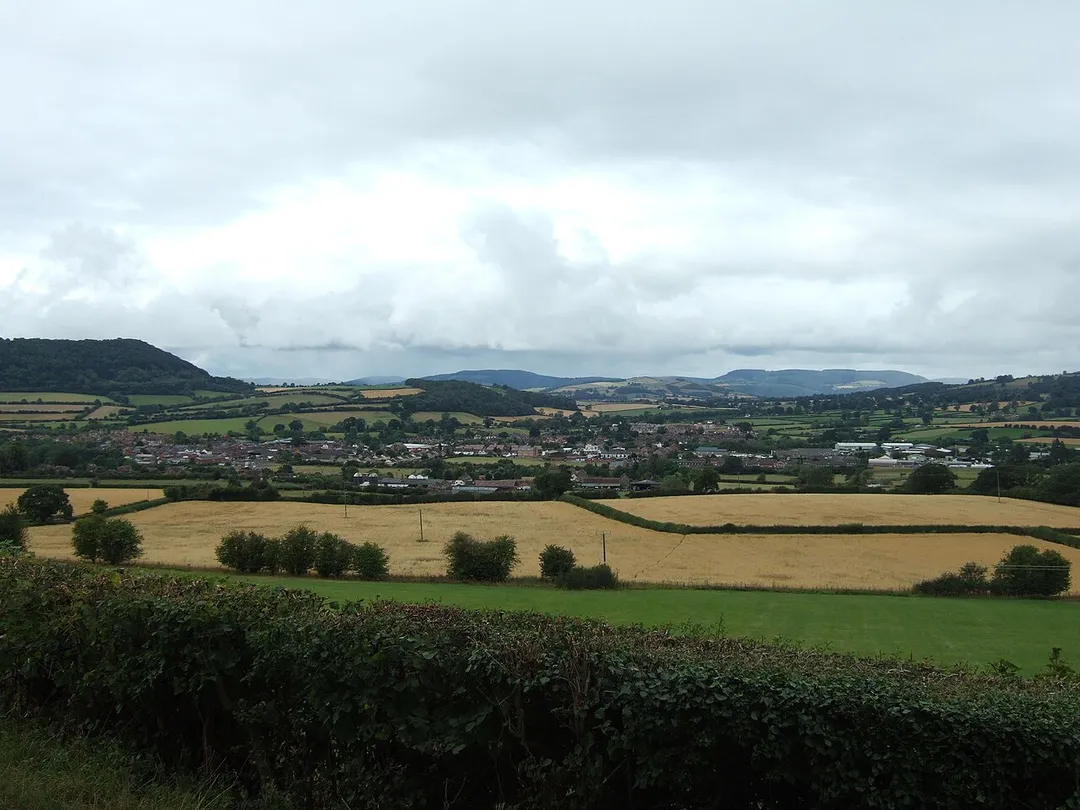
Craven Arms is a market town and civil parish in Shropshire, England. It is sited on the A49 road and the Welsh Marches railway line, which link it north and south to the larger towns of Shrewsbury and Ludlow respectively. The town is enclosed to the north by the Shropshire Hills Area of Outstanding Natural Beauty andRead more
to the south is the fortified manor house of Stokesay Castle.
Economically, the town serves the surrounding rural area, with a number of shops, estate agents, a supermarket, an abattoir and many commercial/light industrial businesses. It is also a visitor destination, being home or nearby to a number of attractions, and is a centre for visitors to the area of outstanding natural beauty. It describes itself as the Gateway to the Marches.
Compare prices across Booking.com, Airbnb, Expedia, and more. Select your dates to see availability.
Pick your must-haves once: provider links open pre-filtered. Each filter lists which sites it applies to.
Compare before you book!
Prices can vary significantly between platforms. We recommend checking at least 2-3 sites to find the best deal for your stay in Craven Arms.
Discover famous landmarks, scenic roads, and more near Craven Arms.
Craven Arms offers many attractions including tourist sites, museums, parks, and local restaurants. Explore famous landmarks, scenic roads, and natural wonders on our interactive map and plan your visit.
Plan your road trip to Craven Arms with Plan Your Road Trips! Add Craven Arms as a destination, and we'll help you find the best route and discover more amazing places along the way.
Craven Arms is located in England, United Kingdom, Europe. The coordinates are 52.4431 latitude, -2.8356 longitude.
Craven Arms has a population of approximately 2,289 people, making it a town in United Kingdom.
Add to your itinerary
Start planning your road trip with Craven Arms as a destination. Create a custom route and discover more amazing places along the way.
Start Road TripDiscover destinations like Tinder
Swipe through stunning destinations near Craven Arms. Save your favourites and add them to your trip.
Essential numbers in United Kingdom
112 also works. NHS non-emergency medical advice: 111. National Highways breakdown assistance on motorways: 0300 123 5000.
Full driving guide for United Kingdom8 notable places within an hour's drive.
landmark
Birthplace of the Industrial Revolution and UNESCO World Heritage Site, home to the world's first iron bridge built in 1779.
31 km · about 35 min drive
racetrack
A 1,475-yard hillclimb running through the deer park of a Shropshire country estate, twisting between mature trees with the hill's Museum Corner and Fallow bends. One of Britain's most scenic speed venues.
32 km · about 35 min drive
racetrack
The world's oldest motorsport venue still using its original course, running since 1905. A 1,000-yard blast up a wooded Worcestershire hillside, steeped in Edwardian racing heritage.
35 km · about 40 min drive
landmark
World-famous 'Town of Books' on the Welsh border, packed with second-hand bookshops and host to a renowned annual literary festival.
45 km · about 50 min drive
landmark
The last family-owned British car maker in Malvern, offering factory tours where hand-crafted sports cars are built.
50 km · about 60 min drive
mountain pass
The highest road pass in Wales at 549m, a narrow single-track lane over the Black Mountains between Hay-on-Wye and Llanthony, with vast views across the Wye Valley from beneath Hay Bluff.
52 km · about 60 min drive
museum
Open-air museum rebuilding an industrial Black Country town: canal boats, a working replica Newcomen engine, 1930s fish and chips fried in beef dripping, and a coal mine walk. A key Peaky Blinders filming location.
52 km · about 60 min drive
film location
The open-air museum in Dudley provides the canal-side streets and workshops of Peaky Blinders' Small Heath.
52 km · about 60 min drive
13 named roads, passes and coastal drives within 100km.
April to October
Other places to explore near Craven Arms.
Create your perfect itinerary with our calendar-based planner. Add stops, discover attractions along the way, and share your trip with friends.
Start Planning