film location
Gloucester Cathedral Cloisters (Hogwarts corridors)
The fan-vaulted cloisters played Hogwarts corridors in the first two films - including the wall bearing 'The Chamber of Secrets has been opened'.
5 km · about 10 min drive
England, United Kingdom · Europe
Churchdown works well as a base: 5 minutes from Shurdington, 17km from Sudeley Castle.
Churchdown is a town located in England, United Kingdom. With a population of 13,287, it is an important destination in Europe.
On a road trip, Churchdown sits in United Kingdom, where you drive on the left. It's in the Europe/London time zone. Below you'll find where to stay, things to do nearby, and everything you need to add Churchdown to your route.
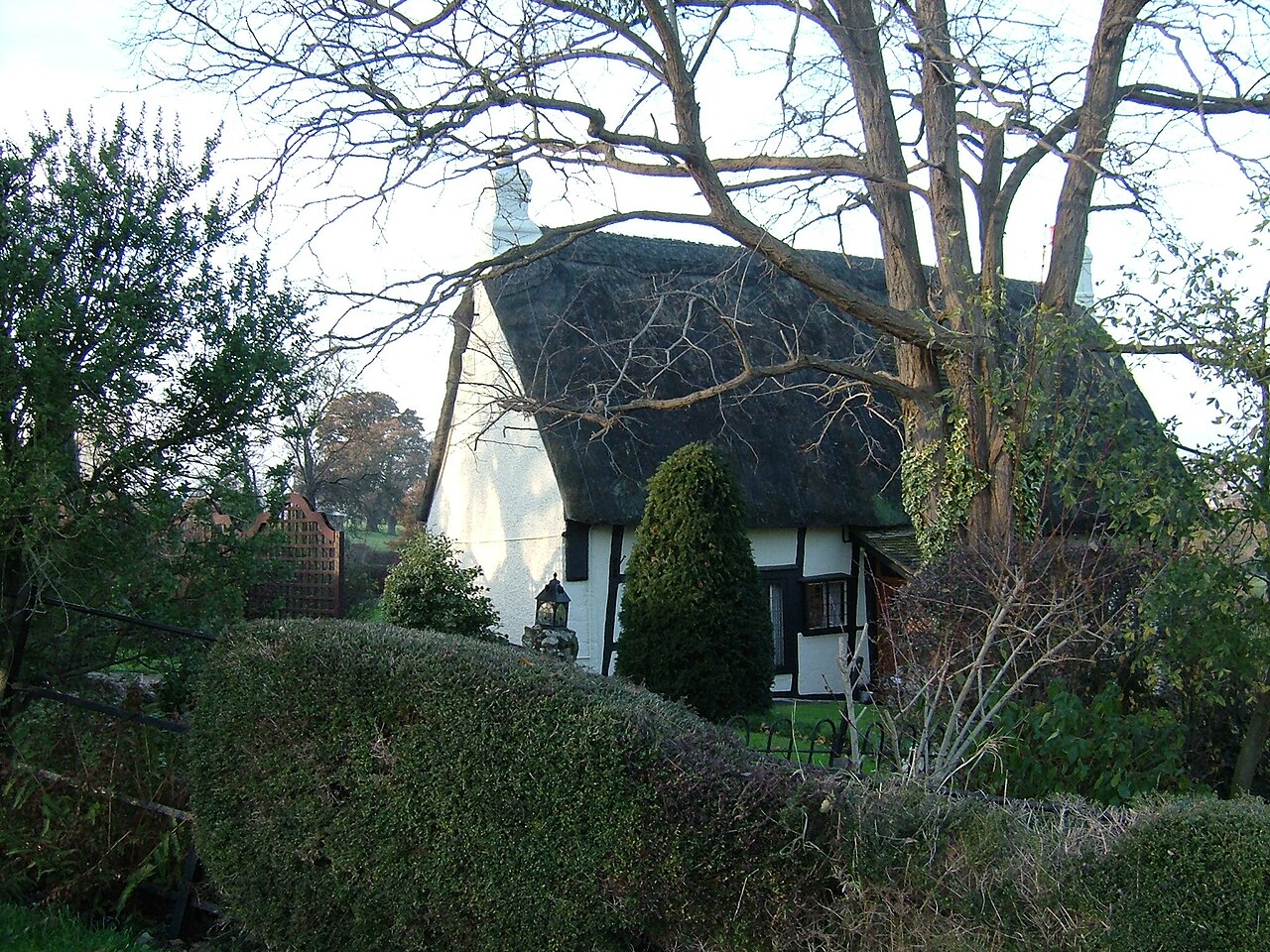
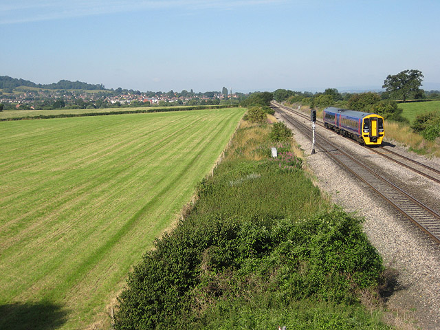
Churchdown is a large village in Gloucestershire, England, situated between Gloucester and Cheltenham in the south of the Tewkesbury Borough.
The village has two centres. The older (Brookfield or "village") centre is in Church Road near St Andrew's Church; the more suburban centre is in St John's Avenue near StRead more
John's Church. Churchdown is a relatively large village, with a population of 11,261 (2001), reducing to 10,990 at the 2011 census.
The village has a size of approximately 16.5 km2 (exactly 4,076 acres). Accordingly, the population density is 666 persons/km2.
Compare prices across Booking.com, Airbnb, Expedia, and more. Select your dates to see availability.
Pick your must-haves once: provider links open pre-filtered. Each filter lists which sites it applies to.
Compare before you book!
Prices can vary significantly between platforms. We recommend checking at least 2-3 sites to find the best deal for your stay in Churchdown.
Discover famous landmarks, scenic roads, and more near Churchdown.
Churchdown offers many attractions including tourist sites, museums, parks, and local restaurants. Explore famous landmarks, scenic roads, and natural wonders on our interactive map and plan your visit.
Plan your road trip to Churchdown with Plan Your Road Trips! Add Churchdown as a destination, and we'll help you find the best route and discover more amazing places along the way.
Churchdown is located in England, United Kingdom, Europe. The coordinates are 51.8774 latitude, -2.1709 longitude.
Churchdown has a population of approximately 13,287 people, making it a town in United Kingdom.
Add to your itinerary
Start planning your road trip with Churchdown as a destination. Create a custom route and discover more amazing places along the way.
Start Road TripDiscover destinations like Tinder
Swipe through stunning destinations near Churchdown. Save your favourites and add them to your trip.
Essential numbers in United Kingdom
112 also works. NHS non-emergency medical advice: 111. National Highways breakdown assistance on motorways: 0300 123 5000.
Full driving guide for United Kingdom8 notable places within an hour's drive.
film location
The fan-vaulted cloisters played Hogwarts corridors in the first two films - including the wall bearing 'The Chamber of Secrets has been opened'.
5 km · about 10 min drive
landmark
The 'Queen of the Cotswolds', a steep wool town whose churchyard holds 99 clipped yew trees and a Rococo garden nearby.
10 km · about 20 min drive
scenic viewpoint
The highest point of the Cotswolds at 330 m, an open common above Cheltenham with views to the Malverns and Wales.
12 km · about 25 min drive
cathedral
A Norman abbey church with the tallest surviving Romanesque tower in the world, saved from dissolution by the townspeople.
13 km · about 25 min drive
racetrack
Famous Cotswolds hill climb owned by the Bugatti Owners' Club since 1937, twisting up through the grounds of Prescott House. Home of the celebrated La Vie en Bleu vintage festival.
14 km · about 25 min drive
castle
A Tudor castle near Winchcombe, the only private home where a queen of England, Katherine Parr, lies buried.
17 km · about 20 min drive
landmark
A curated classic car showroom and events space set in the idyllic Cotswolds village of Bibury.
25 km · about 30 min drive
landmark
A timeless hilltop hamlet famed for its lavender fields and the eccentric manor of collector Charles Wade.
25 km · about 30 min drive
April to October
Other places to explore near Churchdown.
Create your perfect itinerary with our calendar-based planner. Add stops, discover attractions along the way, and share your trip with friends.
Start Planning