

scenic viewpoint
Devil's Pulpit
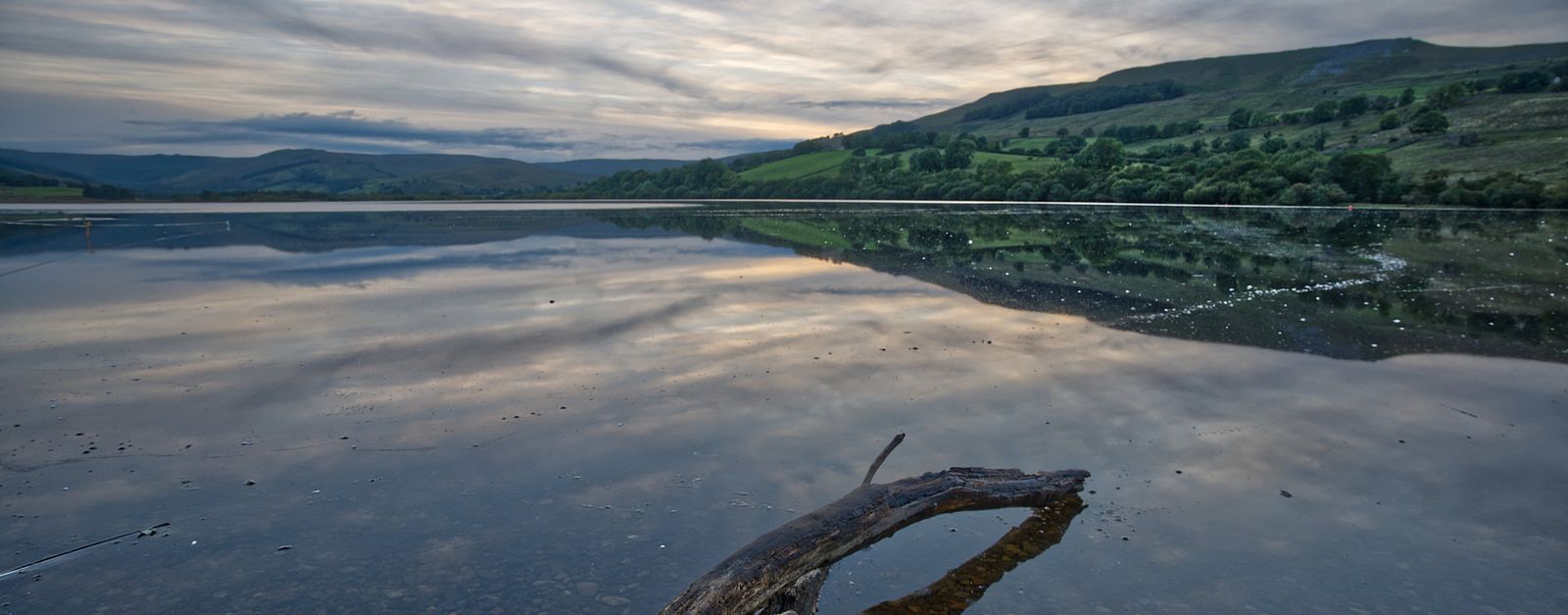
A narrow limestone pinnacle perched above the Wye Valley near Tintern Abbey, offering a dizzying view down through the forest canopy.
12 km · about 20 min drive
Wales, United Kingdom · Europe
Caerwent works well as a base: 5 minutes from Llanvaches, 12km from A466 Wye Valley (Chepstow to Monmouth).
Caerwent is a town located in Wales, United Kingdom. With a population of 1,201, it is an important destination in Europe.
On a road trip, Caerwent sits in United Kingdom, where you drive on the left. It's in the Europe/London time zone. Below you'll find where to stay, things to do nearby, and everything you need to add Caerwent to your route.
Caerwent (Welsh: Caer-went) is a village and community in Monmouthshire, Wales. It is located about 5 mi (8.0 km) west of Chepstow and 11 mi (18 km) east of Newport. It was founded by the Romans as the market town of Venta Silurum, an important settlement of the Brythonic tribe of Silures. The modern village is builtRead more
around the Roman ruins, which are some of the best-preserved in Europe. It remained prominent through the Roman era and Early Middle Ages as the site of a road crossing between several important civic centres. The community includes the small village of Llanvair Discoed. In 2021 Caerwent village had a population of about 1,200.
Compare prices across Booking.com, Airbnb, Expedia, and more. Select your dates to see availability.
Pick your must-haves once: provider links open pre-filtered. Each filter lists which sites it applies to.
Compare before you book!
Prices can vary significantly between platforms. We recommend checking at least 2-3 sites to find the best deal for your stay in Caerwent.
Discover famous landmarks, scenic roads, and more near Caerwent.
Caerwent offers many attractions including tourist sites, museums, parks, and local restaurants. Explore famous landmarks, scenic roads, and natural wonders on our interactive map and plan your visit.
Plan your road trip to Caerwent with Plan Your Road Trips! Add Caerwent as a destination, and we'll help you find the best route and discover more amazing places along the way.
Caerwent is located in Wales, United Kingdom, Europe. The coordinates are 51.6112 latitude, -2.7687 longitude.
Caerwent has a population of approximately 1,201 people, making it a town in United Kingdom.
Add to your itinerary
Start planning your road trip with Caerwent as a destination. Create a custom route and discover more amazing places along the way.
Start Road TripDiscover destinations like Tinder
Swipe through stunning destinations near Caerwent. Save your favourites and add them to your trip.
Essential numbers in United Kingdom
112 also works. NHS non-emergency medical advice: 111. National Highways breakdown assistance on motorways: 0300 123 5000.
Full driving guide for United Kingdom8 notable places within an hour's drive.
scenic viewpoint
A narrow limestone pinnacle perched above the Wye Valley near Tintern Abbey, offering a dizzying view down through the forest canopy.
12 km · about 20 min drive
famous road
A wooded riverside road through a designated AONB past Tintern Abbey, gentle and beautiful rather than challenging.
12 km · about 20 min drive
bridge
Isambard Kingdom Brunel's iconic 1864 suspension bridge soaring 75m above the Avon Gorge at Bristol, still carrying traffic and glowing with lights after dark.
20 km · about 25 min drive
film location
The moss-covered rock maze in the Forest of Dean appears in The Force Awakens, Merlin and Doctor Who.
22 km · about 25 min drive
scenic viewpoint
A famous viewpoint 504 feet above the River Wye, where peregrine falcons nest and the river performs a dramatic horseshoe bend.
27 km · about 30 min drive
scenic viewpoint
A landslipped 486m ridge above Abergavenny whose split profile gave rise to the legend it cracked at the Crucifixion.
31 km · about 35 min drive
scenic viewpoint
A 596m conical hill above Abergavenny with a 360-degree view over the Usk valley and the Black Mountains; easy from the car park.
34 km · about 40 min drive
natural wonder
Britain's largest gorge with 450-foot limestone cliffs, ancient caves containing the oldest complete human skeleton found in Britain.
36 km · about 40 min drive
April to October
Other places to explore near Caerwent.
Create your perfect itinerary with our calendar-based planner. Add stops, discover attractions along the way, and share your trip with friends.
Start Planning