PYRTPlan Your Road Trips
Create TripMy TripsCommunityMerchandise
PYRTPlan Your Road Trips
Create TripMy TripsCommunityMerchandise
B
Destinations
Home›Destinations›Bérchules
EuropeSpainAndalusia

Bérchules

Andalusia, Spain · Europe

About Bérchules

Bérchules works well as a base: 5 minutes from Cádiar, 18km from Sierra Nevada National Park.

Bérchules is a town located in Andalusia, Spain. With a population of 803, it is an important destination in Europe.

On a road trip, Bérchules sits in Spain, where you drive on the right. It's in the Europe/Madrid time zone. Below you'll find where to stay, things to do nearby, and everything you need to add Bérchules to your route.

About Bérchules

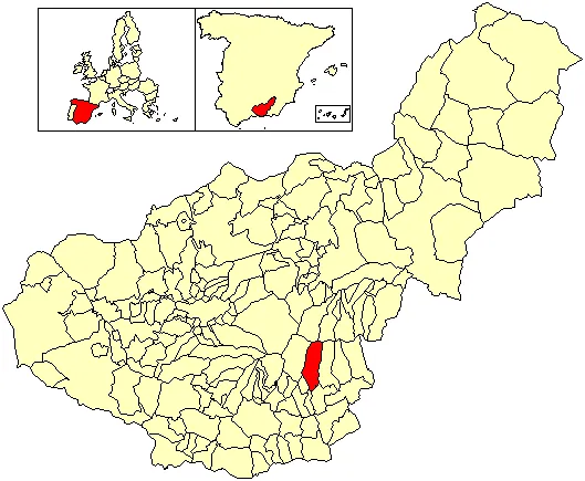
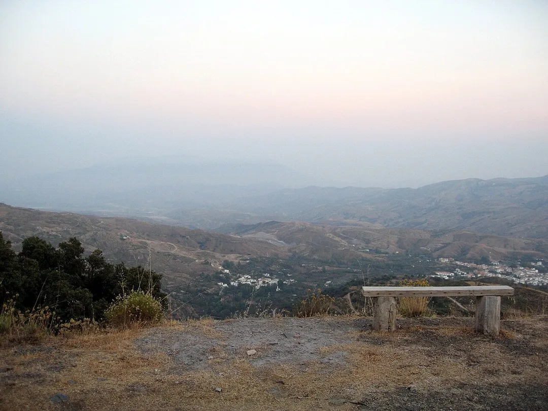
Bérchules is a village and municipality in the central Alpujarra, in the province of Granada in Spain. The origins of the village are Arab. There are two villages in the municipality, Bérchules (36° 58' north and 3° 11' east, elevation 1350 metres), and Alcútar (36° 58' north and 3° 11' east, elevation 1250 metres).

Read more The villages are on the road, Órgiva-Trevélez-Ugíjar, and their population is estimated at 900 and 300 respectively. The river Grande de Los Bérchules flows past the village on its course from the Sierra Nevada to the Mediterranean at Motril. En route it becomes renamed Rio "Gualdalfeo" and is the main river in the Alpujarra. Like the surrounding area, in general the present population has declined since the mid 20th century when the population was probably nearer to 5,000 inhabitants. Many immigrated to Germany, Switzerland, France, Brazil, Argentina, and to the coastal area of Almería, El Ejido etc. The traditional agricultural was based on tomatoes, almonds and cattle and continues as the main industry of the village with tourism having an increasing economic importance. Since 2000 an influx of relatively affluent immigrants from northern Europe have also had an effect on the local economy. Most tourists visit for the hill walking as the village is situated on the GR7 Archived 2008-07-23 at the Wayback Machine long distance footpath. Local attractions include the "fuente agua agria" water with a high iron content which is purported to have medicinal properties. Notable fiestas include New Year's Eve in August (First Saturday of August), the Festival of San Marcos, with processions of agricultural animals (25 April) and Festival of San Pantaleon, patron saint of Bérchules (27 July), and the Festival of Santo Cristo in Alcútar (9 August). Notable people from this village include Virginia Tovar Martín.

Read more on Wikipedia

Where to Stay in Bérchules

Compare prices across Booking.com, Airbnb, Expedia, and more. Select your dates to see availability.

Filter presets

Pick your must-haves once: provider links open pre-filtered. Each filter lists which sites it applies to.

Booking.comExpediaTripAdvisorHotels.comAgodaAirbnb

Compare before you book!

Prices can vary significantly between platforms. We recommend checking at least 2-3 sites to find the best deal for your stay in Bérchules.

Explore the Area

Discover famous landmarks, scenic roads, and more near Bérchules.

Loading map...
Open in Google Maps

Frequently Asked Questions

What are the best things to do in Bérchules?

Bérchules offers many attractions including tourist sites, museums, parks, and local restaurants. Explore famous landmarks, scenic roads, and natural wonders on our interactive map and plan your visit.

How do I plan a road trip to Bérchules?

Plan your road trip to Bérchules with Plan Your Road Trips! Add Bérchules as a destination, and we'll help you find the best route and discover more amazing places along the way.

Where is Bérchules located?

Bérchules is located in Andalusia, Spain, Europe. The coordinates are 36.9768 latitude, -3.1907 longitude.

What is the population of Bérchules?

Bérchules has a population of approximately 803 people, making it a town in Spain.

Plan a Road Trip

Add to your itinerary

Start planning your road trip with Bérchules as a destination. Create a custom route and discover more amazing places along the way.

Start Road Trip

What's Nearby?

Discover destinations like Tinder

Swipe through stunning destinations near Bérchules. Save your favourites and add them to your trip.

Explore now

Quick Information

Population
803
Continent
Europe
Country
Spain
Region
Andalusia
Timezone
Europe/Madrid
Coordinates
36.9768, -3.1907

Emergency & Services

Essential numbers in Spain

Police
091
Ambulance
061
Fire
080
All emergencies
112
Driving side
right

Guardia Civil (traffic police): 062. Two warning triangles required in vehicles.

Full driving guide for Spain

Tags

EuropeSpainAndalusiaTown

Worth the detour from Bérchules

5 notable places within an hour's drive.

landmark

Capileira

Highest of the three whitewashed villages stacked in the Poqueira gorge of the Alpujarras, its flat-roofed Berber-style houses and chimney pots facing Mulhacén. End of the paved climb on the GR-421 before the old Sierra Nevada track.

15 km · about 30 min drive

national park

Sierra Nevada National Park

Mainland Spain's highest peaks, with the Pico Veleta road climbing past alpine lakes to nearly 3,400m near Granada.

18 km · about 20 min drive

famous road

Pico Veleta Road

Europe's highest paved road climbs from Granada past the Sierra Nevada ski station toward the 3,396 m Veleta summit, with hairpins above the clouds and views to the Mediterranean.

18 km · about 20 min drive

mountain pass

Puerto de la Ragua

The highest paved pass in Andalusia at 2041m, crossing the Sierra Nevada between the Alpujarras and the Marquesado with arid Mediterranean mountain scenery.

24 km · about 25 min drive

landmark

Alhambra

Stunning Moorish palace and fortress complex in Granada showcasing the finest Islamic art and architecture in Europe.

42 km · about 50 min drive

Driving roads near Bérchules

  • 18 kmPico Veleta RoadEurope's highest paved road climbs from Granada past the Sierra Nevada ski station toward the 3,396 m Veleta summit, with hairpins above the clouds and views to the Mediterranean.
  • 24 kmPuerto de la RaguaThe highest paved pass in Andalusia at 2041m, crossing the Sierra Nevada between the Alpujarras and the Marquesado with arid Mediterranean mountain scenery.
  • 66 kmBalcón de Europa, NerjaA palm-lined seafront promenade jutting on a clifftop balcony with panoramic Mediterranean and mountain views.
  • 76 kmAlto de VelefiqueA twisting road through the semi-desert landscape of Almería province, gaining fame as a Vuelta a España climb and a hidden gem for motorcycle touring.

Driving in Spain

Drives on
the right
Petrol
~€1.55/litre
Motorway tolls
~€4.00/100km

When to drive here

April to October

Nearby Destinations

Other places to explore near Bérchules.

Cádiar

🇪🇸 Spain

4 km awayPop. 1,511

Juviles

🇪🇸 Spain

4 km awayPop. 192

Lobras

🇪🇸 Spain

6 km awayPop. 125

Trevélez

🇪🇸 Spain

7 km awayPop. 839

Cástaras

🇪🇸 Spain

8 km awayPop. 238

Válor

🇪🇸 Spain

10 km awayPop. 743

Busquístar

🇪🇸 Spain

10 km awayPop. 339

Pórtugos

🇪🇸 Spain

11 km awayPop. 407

Plan a trip around Bérchules

Spain road trip planner

Plan a Road Trip from Bérchules

Create your perfect itinerary with our calendar-based planner. Add stops, discover attractions along the way, and share your trip with friends.

Start Planning
PYRT

The ultimate road trip planning platform. Discover 150,000+ destinations worldwide, plan scenic routes, and create unforgettable adventures.

Inspiration

  • Discover Trips
  • Travel Guides
  • Community

The Product

  • Calendar Planner
  • Integrations
  • How It Works
  • Collaboration Mode
  • Get the App
  • Merchandise: PYRT Supply Co.
  • Become a Creator
  • Trip Marketplace

Plan Your Trip

  • Road Trip Planner
  • Famous Routes
  • Planners by Country
  • Best Road Trip Planner App
  • Discover Road Trips
  • Events
  • Travel Guides
  • How It Works
  • My Trips
  • Community Groups

Company

  • Terms of Service
  • Privacy Policy
  • Support
  • Contact Us
  • Sign In
  • Create Account

© 2026 Plan Your Road Trips. All rights reserved.

•[email protected]
Data sources:GeoNames (CC BY 4.0)•Wikimedia Commons (CC BY-SA)•Mapbox•Photography: George Lawrence