

mountain pass
Macquarie Pass
A twisting rainforest climb on the Illawarra Highway, hauling drivers 400 m up the escarpment between Albion Park and the Southern Highlands through 100-plus curves.
11 km · about 20 min drive
New South Wales, Australia · Oceania
Albion Park Rail is worth a stop: 10 minutes from Blackbutt, 11km from Macquarie Pass.
Albion Park Rail is a town located in New South Wales, Australia. With a population of 6,809, it is an important destination in Oceania.
On a road trip, Albion Park Rail sits in Australia, where you drive on the left. It's in the Australia/Sydney time zone. Below you'll find where to stay, things to do nearby, and everything you need to add Albion Park Rail to your route.
Albion Park Rail is a suburb of Shellharbour, Australia situated in the Macquarie Valley (Shellharbour). The South Coast railway line was opened to the railway station and Bombo in 1887. At the time the nearest town was Albion Park, several kilometres away. Over time, houses were built around the railway station,Read more
and Albion Park Rail developed into a town in its own right, and with its own name.
Albion Park Rail has a community area set up with a community centre, playing fields and a recently built skatepark. It only has one school but it accommodates many students from Pre-School to Year 6. Albion Park Rail is located along the shores of Lake Illawarra, near Koona Bay. It is a fifteen-minute drive on the freeway to Wollongong.
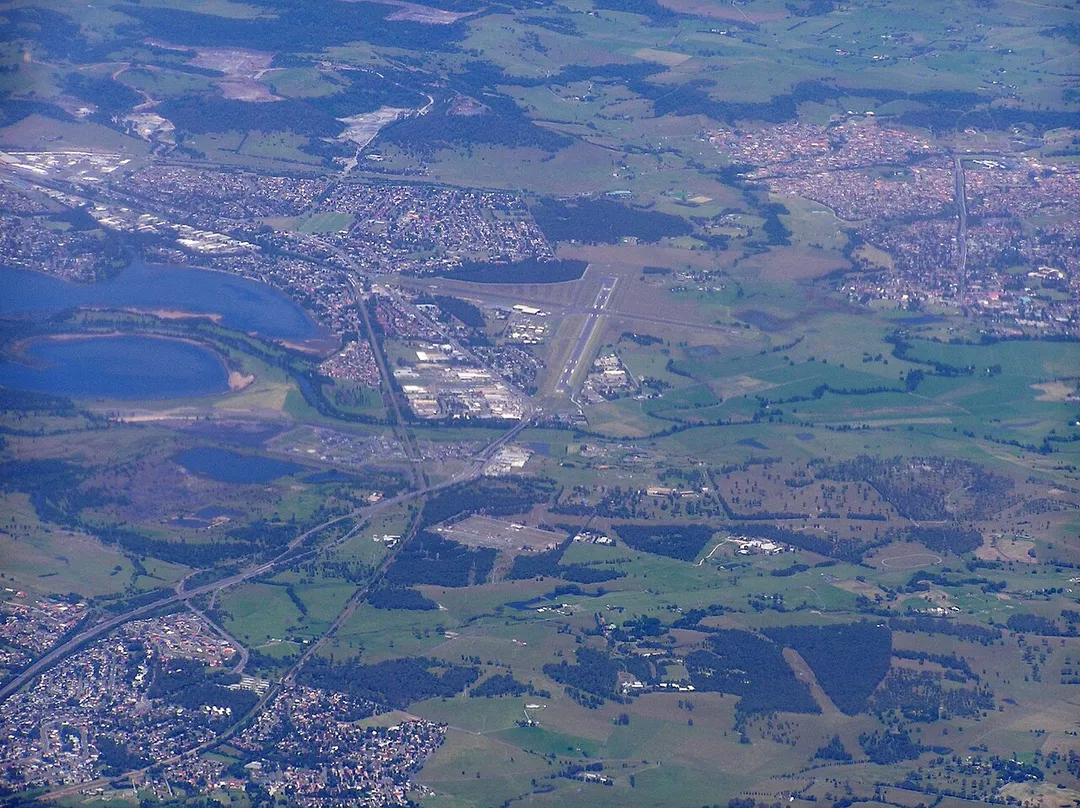
Albion Park Rail is the site of the Illawarra Regional Airport which is the location of the Historical Aircraft Restoration Society.
Compare prices across Booking.com, Airbnb, Expedia, and more. Select your dates to see availability.
Pick your must-haves once: provider links open pre-filtered. Each filter lists which sites it applies to.
Compare before you book!
Prices can vary significantly between platforms. We recommend checking at least 2-3 sites to find the best deal for your stay in Albion Park Rail.
Discover famous landmarks, scenic roads, and more near Albion Park Rail.
Albion Park Rail offers many attractions including tourist sites, museums, parks, and local restaurants. Explore famous landmarks, scenic roads, and natural wonders on our interactive map and plan your visit.
Plan your road trip to Albion Park Rail with Plan Your Road Trips! Add Albion Park Rail as a destination, and we'll help you find the best route and discover more amazing places along the way.
Albion Park Rail is located in New South Wales, Australia, Oceania. The coordinates are -34.5663 latitude, 150.7918 longitude.
Albion Park Rail has a population of approximately 6,809 people, making it a town in Australia.
Add to your itinerary
Start planning your road trip with Albion Park Rail as a destination. Create a custom route and discover more amazing places along the way.
Start Road TripDiscover destinations like Tinder
Swipe through stunning destinations near Albion Park Rail. Save your favourites and add them to your trip.
Essential numbers in Australia
112 works from mobiles. Distances between fuel stops in the outback can exceed 200 km: plan ahead. Wildlife is most active at dawn/dusk.
Full driving guide for Australia6 notable places within an hour's drive.
mountain pass
A twisting rainforest climb on the Illawarra Highway, hauling drivers 400 m up the escarpment between Albion Park and the Southern Highlands through 100-plus curves.
11 km · about 20 min drive
cafe
A Southern Highlands roadside pie shop on the Illawarra Highway, operating since 1968 and long the mandatory stop for anyone driving between Sydney and the coast via Macquarie Pass.
15 km · about 30 min drive
bridge
Sandstone-towered suspension bridge from 1898 carrying Moss Vale Road over the Kangaroo River, the oldest of its type still in use in Australia.
31 km · about 35 min drive
bridge
A 665 m balanced-cantilever bridge that curves off the Illawarra escarpment and hangs over the Pacific, the photogenic centrepiece of Grand Pacific Drive south of Sydney.
39 km · about 45 min drive
coastal drive
140 km coastal route from the Royal National Park to Wollongong and beyond, sweeping past Bald Hill's hang-glider lookout, seaside villages and the famous Sea Cliff Bridge.
42 km · about 50 min drive
scenic viewpoint
Clifftop lookout and hang-gliding launch at Stanwell Tops overlooking the Sea Cliff Bridge and Illawarra coastline, with roadside parking.
42 km · about 50 min drive
Other places to explore near Albion Park Rail.
Create your perfect itinerary with our calendar-based planner. Add stops, discover attractions along the way, and share your trip with friends.
Start Planning