Washington, United States · North America
5,892
Population
North America
Continent
Los_Angeles
Timezone
US
Country Code
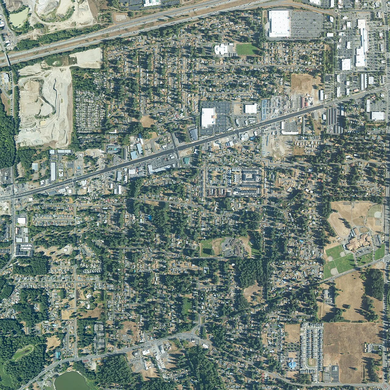
Tanglewilde (also Tanglewilde-Thompson Place) is a census-designated place (CDP) in Thurston County, Washington, United States, part of the Urban Growth Area of the city of Lacey. The community is surrounded by the city of Lacey and borders Mushroom Corner. The sections of Tanglewilde and Thompson Place are divided south and north, respectively, by Martin Way. Interstate 5 forms the northern border of the CDP, and Washington State Route 510 partially forms the eastern limits.
Coordinates
47.0512°, -122.7808°
Elevation
62m
Region/State
Washington
District
Thurston County
Compare prices across top booking platforms
Compare before you book!
Prices can vary significantly between platforms. We recommend checking at least 2-3 sites to find the best deal for your stay in Tanglewilde-Thompson Place.
Add to your itinerary
Start planning your road trip with Tanglewilde-Thompson Place as a destination. Create a custom route and discover more amazing places along the way.
Start Road TripAdd to your favorites
Save Tanglewilde-Thompson Place to your favorites and easily find it later when planning your trips.
Free to get started
No credit card required
Country
United States
Region
Washington
Timezone
Create your free account and start planning an unforgettable road trip. Discover hidden gems, save your favorite spots, and share your adventures.
America/Los_Angeles
Population
5,892
