Hidalgo, Mexico · North America
1,803
Population
North America
Continent
Mexico_City
Timezone
MX
Country Code
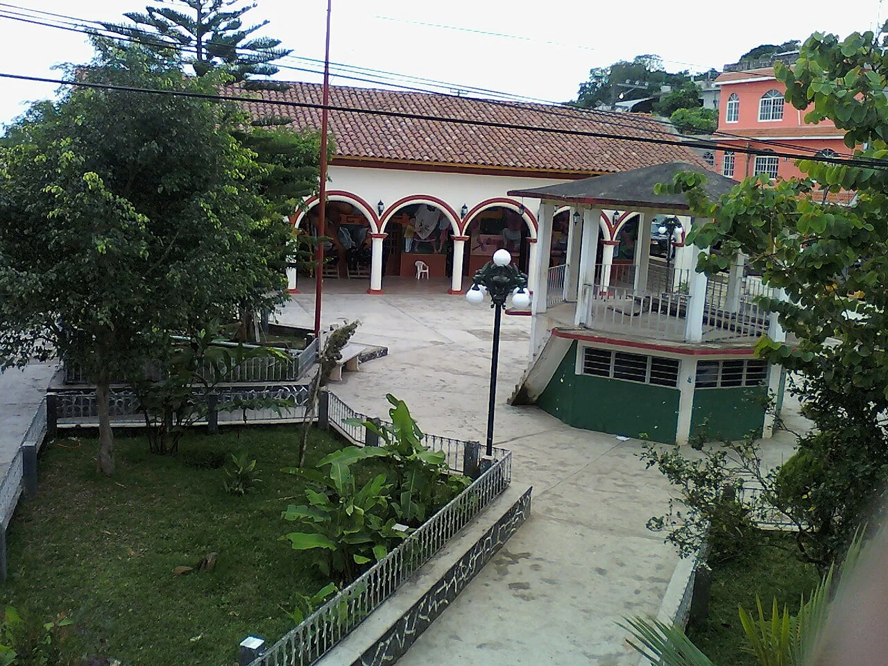
Mecatlán is a municipality in the Mexican state of Veracruz. It is located in the north zone of the state, about 327 km from the state capital Xalapa. It has an area of 48.53 km2. It is located at 20°13′N 97°41′W. Mecatlán is delimited to the north by Coyutla, to the north-east by Chumatlan, to the north-west by Coahuitlan to the south-east by Coxquihui and to the south-west by Filomeno Mata. According to the INEGI official statistics, in 2020 year the total population in Mecatlán was about 12,7...
Coordinates
20.9357°, -98.4030°
Region/State
Hidalgo
District
Yahualica
Compare prices across top booking platforms
Compare before you book!
Prices can vary significantly between platforms. We recommend checking at least 2-3 sites to find the best deal for your stay in Mecatlán.
Add to your itinerary
Start planning your road trip with Mecatlán as a destination. Create a custom route and discover more amazing places along the way.
Start Road TripAdd to your favorites
Save Mecatlán to your favorites and easily find it later when planning your trips.
Free to get started
No credit card required
Country
Mexico
Region
Hidalgo
Timezone
America/Mexico_City
Population
Create your free account and start planning an unforgettable road trip. Discover hidden gems, save your favorite spots, and share your adventures.
1,803
