England, United Kingdom · Europe
887
Population
Europe
Continent
London
Timezone
GB
Country Code
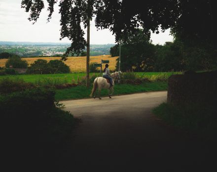
Longhorsley is a village in Northumberland, England about 7 miles (11 km) northwest of Morpeth, and about 14 miles (23 km) south of Alnwick. The A697 road passes through the village linking it with Morpeth, Wooler and Coldstream in Scotland. There are 8 "Streets" in Longhorsley: Whitegates, Church View, Drummonds Close, South Road, West Road, East Road and Reivers Gate, Wilding Place and (Davison Court within Wilding Place).The village is bordered on the north by the River Coquet. The village fo...
Coordinates
55.2459°, -1.7691°
Region/State
England
District
Northumberland
Compare prices across top booking platforms
Compare before you book!
Prices can vary significantly between platforms. We recommend checking at least 2-3 sites to find the best deal for your stay in Longhorsley.
Add to your itinerary
Start planning your road trip with Longhorsley as a destination. Create a custom route and discover more amazing places along the way.
Start Road TripAdd to your favorites
Save Longhorsley to your favorites and easily find it later when planning your trips.
Free to get started
No credit card required
Country
United Kingdom
Region
England
Timezone
Europe/London
Population
Create your free account and start planning an unforgettable road trip. Discover hidden gems, save your favorite spots, and share your adventures.
887