England, United Kingdom · Europe
0
Population
Europe
Continent
London
Timezone
GB
Country Code
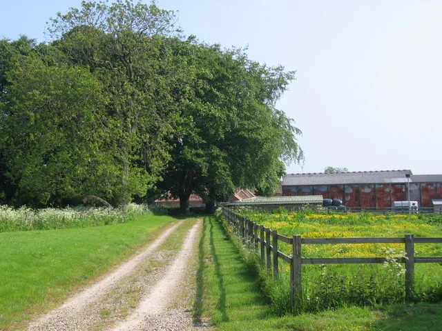
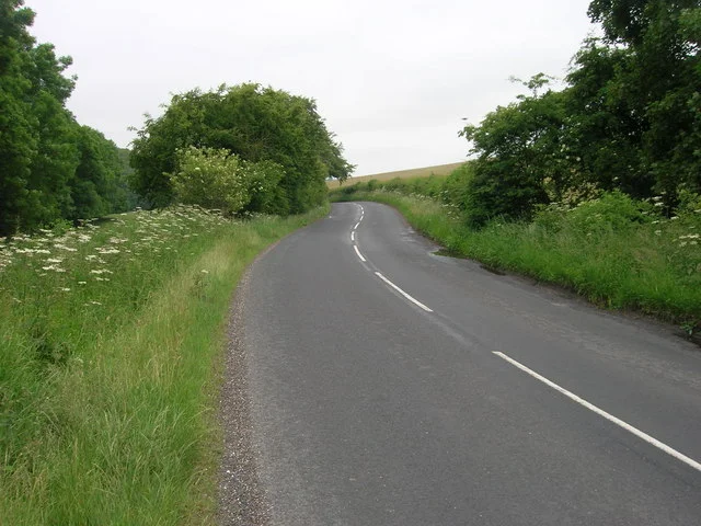
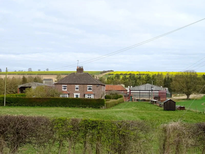
Fimber is a village and civil parish in the East Riding of Yorkshire, England. It is situated approximately 8 miles (13 km) north-west of Driffield town centre and 3 miles (5 km) south-west of the village of Sledmere. It lies on the B1248 road. The civil parish is formed by the village of Fimber and the hamlet of Towthorpe. According to the 2001 UK Census, Fimber parish had a population of 91. The name Fimber probably derives from the Old English fīnmere meaning 'woodpile lake'. Alternatively,...
Coordinates
54.0350°, -0.6313°
Region/State
England
District
East Riding of Yorkshire
Compare prices across top booking platforms
Compare before you book!
Prices can vary significantly between platforms. We recommend checking at least 2-3 sites to find the best deal for your stay in Fimber.
Add to your itinerary
Start planning your road trip with Fimber as a destination. Create a custom route and discover more amazing places along the way.
Start Road TripAdd to your favorites
Save Fimber to your favorites and easily find it later when planning your trips.
Free to get started
No credit card required
Country
United Kingdom
Region
England
Timezone
Europe/London
Population
Create your free account and start planning an unforgettable road trip. Discover hidden gems, save your favorite spots, and share your adventures.
0
